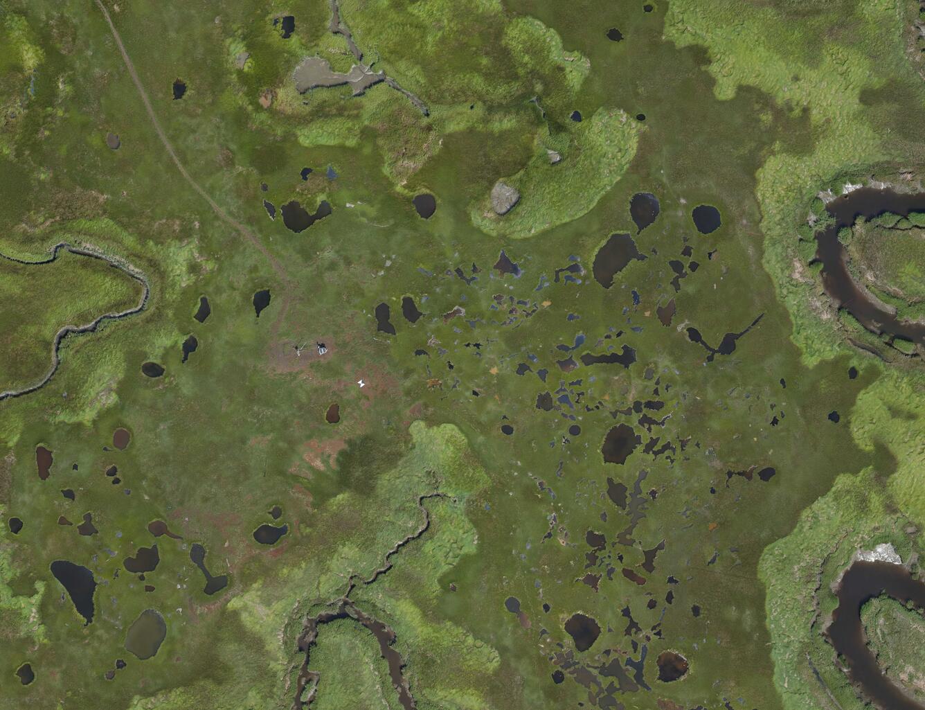
Aerial photo of estuary
Detailed Description
Aerial view of a gas flux tower in Great Barnstable Marsh in Barnstable, Massachusetts.
Sources/Usage
Public Domain.
Related
National UVVR Map National UVVR Map
This map shows the unvegetated and vegetated area of coastal wetlands and adjacent land (inland and shorelines) for the Conterminous United States computed from 2014-2018 Landsat imagery at ~30 meter horizontal resolution.
Sea level Rise and Carbon Cycle Processes in Managed Coastal Wetlands
The U.S. Geological Survey is working to inform decision makers at Federal land management agencies, including the U.S. Fish and Wildlife Service, the National Park Service, state government agencies and private entities, on the role of coastal wetlands in climate change mitigation and adaptation. This includes assessing opportunities for ecosystem restoration to enhance soil carbon sequestration...


