
Science
The USGS National Land Imaging Program supports science that tracks how land, fire, and water interact across the landscape — providing the data and research needed to understand change and inform decisions.
Land Cover and Change
Land Cover and Change
USGS tracks changes in land cover over time to help inform land management decisions at local, regional, and national scales.
Fire Science
Fire Science

USGS monitors fire patterns and behavior using remote sensing data to map fuels, forecast fire danger, and assess post-fire recovery, helping land managers protect ecosystems and communities.
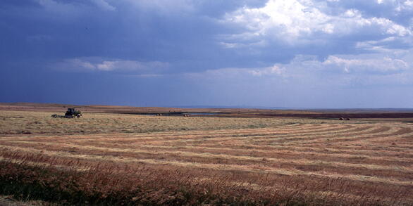
Water and Drought
Water and Drought
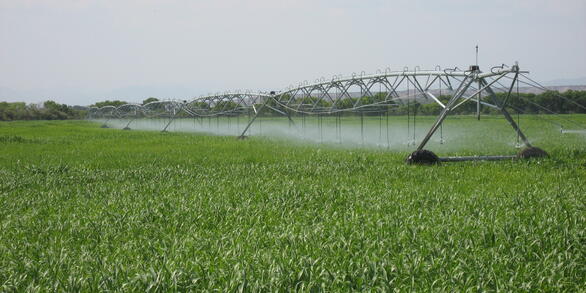
USGS monitors water availability, drought impacts, and wetland extent using remote sensing and watershed modeling to help protect water resources across local, regional, and national scales.