



Latest in Landsat November 2026 - Vol. 5 | Issue 11
Landsat Science Team: Investing in the Future of Landsat
Landsat Science Teams have advised the USGS/NASA Landsat program for many years to ensure that Landsat remains the world’s most trusted source of moderate‑resolution satellite imagery.
The 2026–2030 team continues the tradition of providing technical expertise and scientific insights that safeguard data quality and science integrity, guide product and system improvements, and influence future mission planning. The team’s forward‑thinking perspectives and use of emerging technologies for remote sensing studies help define the next era of Earth observation.
In the recently published article listed below, a few members of the current team share their expertise in the areas of field‑scale water‑use and monitoring, non‑photosynthetic vegetation mapping, harmful algal blooms, and snow‑cover mapping. Future issues will include more stories highlighting team members.
-

Landsat Science Team Focuses on Advanced Satellite Technology Landsat Science Team Focuses on Advanced Satellite Technology
Landsat 10 promises improved scientific discovery and innovation with better imaging capabilities for the next generation of Earth observation, continuing the 54-year legacy of the remote sensing program. The newest satellite, with 26 spectral bands and enhanced resolution, is planned to launch in 2031.
Resources for Working with Landsat Data in the Cloud
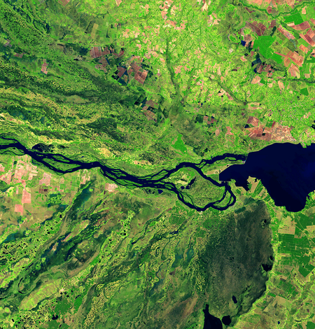
Modernizing Landsat Notifications: SNS Topics Replace RSS Feeds
The USGS Earth Resources Observation and Science (EROS) Center uses Amazon Simple Notification Service (SNS) topics to notify users when new Landsat Collection 2 data and science products are added to the archive’s cloud-based inventory.

Landsat Commercial Cloud Data Access
Landsat Collection 2 data can be accessed from the Amazon Web Services (AWS) cloud platform. Leveraging the data storage and processing capabilities that cloud services provide offers new ways to explore the growing record of Landsat observations.
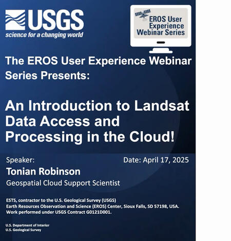
An Introduction to Landsat Data Access and Processing in the Cloud
This video is a recording of a previous webinar entitled: “An Introduction to Landsat Data Access and Processing in the Cloud!.” This webinar was recorded on April 17, 2025.The United States Geological Survey (USGS) Earth Resources Observation and Science (EROS) Center maintains one of the largest civilian collection of images of the Earth’s land surface. At EROS we study land change and produce…
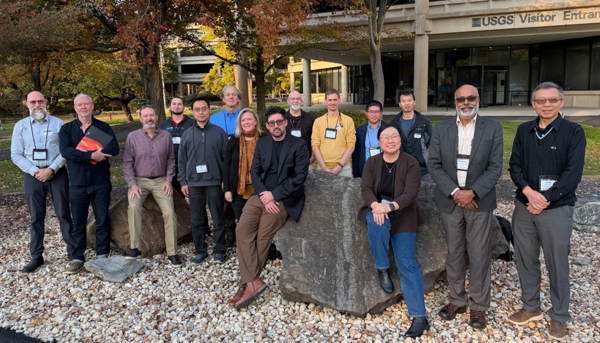
Landsat Science Team Meets at USGS National Center
The 2026-2030 Landsat Science Team recently met at the USGS National Center in Reston, Virginia.
The meeting included progress reports on team member's activities, status updates from the USGS and NASA relating to Landsat, and discussions about future Landsat products and priorities.
Visit the October 2026 meeting webpage to view the agenda from the meeting.
Stay informed about Landsat
-
Data Notifications Data Notifications
Your source for the latest announcements about scheduled maintenance, data product releases, data portal updates and known issues to ensure seamless access to the resources you need. Check back often for current updates.
-

Landsat Reprocessing Events Landsat Reprocessing Events
The USGS consistently delivers high quality Landsat products suitable for science research and analysis. On occasion, Landsat data may need to be reprocessed. To best support your research and ensure you are using the most recent data, the Landsat Processing Events application allows you to search and locate Landsat products that have been reprocessed.
-
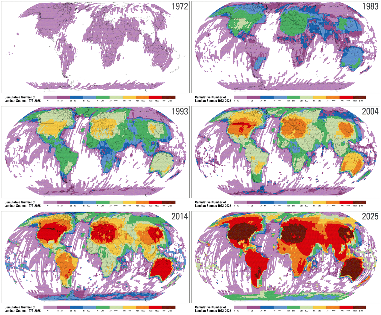
Landsat Project Statistics Landsat Project Statistics
How much Landsat data is available, and how much is downloaded? Who downloads Landsat products and what do they use it for? We answer these questions and more on this page.
Got Questions? We’ve Got Answers!
-

Connect Connect
Explore the Landsat social media channels, discover the latest news and resources, and find answers to your questions about Landsat Missions, science products, and data access. We are here to help you stay informed!
Landsat Missions Landsat Missions
Since 1972, the joint NASA/ U.S. Geological Survey Landsat series of Earth Observation satellites have continuously acquired images of the Earth’s land surface, providing uninterrupted data to help land managers and policymakers make informed decisions about natural resources and the environment.
Landsat is a part of the USGS National Land Imaging (NLI) Program.

Landsat Frequently Asked Questions Landsat Frequently Asked Questions
This page lists commonly asked questions pertaining to the Landsat satellite missions, the science behind maintaining high quality Landsat data, and what products are available - and how to download them.
EROS User Services
Your trusted resource for USGS EROS data and tools. As the primary contact point for the USGS Earth Resources Observation and Science (EROS) center, we help thousands of users each year access and understand our vast archive of remotely sensed imagery and science products.
Stay informed with the Latest in Landsat Newsletter
Direct to your inbox! Landsat's monthly newsletter features current news, uses, tools, and announcements about America's earth-observing satellite program.
Subscribe to receive Latest in Landsat Newsletters
-

Latest in Landsat Newsletter Latest in Landsat Newsletter
Learn about the Latest in Landsat! This monthly newsletter highlights current news, uses, tools, and announcements about the Landsat suite of Earth-observing satellites and the data collected from them.