
Extensometer Foot
By Virginia and West Virginia Water Science Center
November 2025 (approx.)

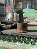
Detailed Description
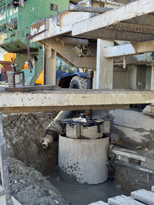
The foot of the James River Extensometer shortly before installation, with a nearby hardhat for scale. The extensometer foot is installed at the very base of the extensometer hole, at a depth of 1280 feet in the case of the James River Extensometer. All 1280 feet of extensometer pipe gently rests on the extensometer foot.
Sources/Usage
Public Domain.
Related

The Virginia Extensometer Network
Borehole extensometers are instruments that monitor land subsidence caused by aquifer compaction. They provide precise, high-resolution measurements of changes in aquifer-system thickness. These changes in aquifer-system thickness contribute to vertical land motion (VLM) across the Virginia Coastal Plain, and are driven primarily by groundwater level decline due to human water usage. The Virginia...

Land Subsidence on the Virginia Coastal Plain
Land subsidence is a loss of ground elevation, often experienced as the ground slowly sinking over the course of years. In eastern Virginia, high rates of groundwater use is a major factor in the land subsidence affecting the area. The Virginia-West Virginia Water Science Center, with the help of our partners, has been monitoring land subsidence in the Virginia Coastal Plain since 1979 using a...
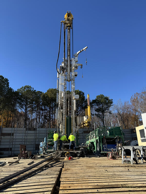
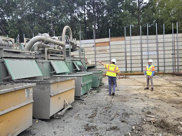
Virginia Extensometer Drilling
Virginia Extensometer Drilling


Related
The Virginia Extensometer Network
Borehole extensometers are instruments that monitor land subsidence caused by aquifer compaction. They provide precise, high-resolution measurements of changes in aquifer-system thickness. These changes in aquifer-system thickness contribute to vertical land motion (VLM) across the Virginia Coastal Plain, and are driven primarily by groundwater level decline due to human water usage. The Virginia...
Land Subsidence on the Virginia Coastal Plain
Land subsidence is a loss of ground elevation, often experienced as the ground slowly sinking over the course of years. In eastern Virginia, high rates of groundwater use is a major factor in the land subsidence affecting the area. The Virginia-West Virginia Water Science Center, with the help of our partners, has been monitoring land subsidence in the Virginia Coastal Plain since 1979 using a...
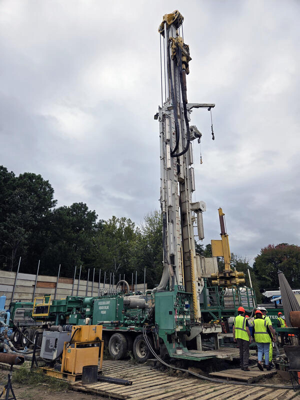
Virginia Extensometer Drilling
Virginia Extensometer Drilling