
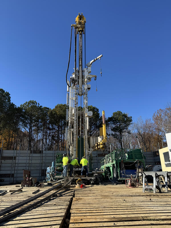
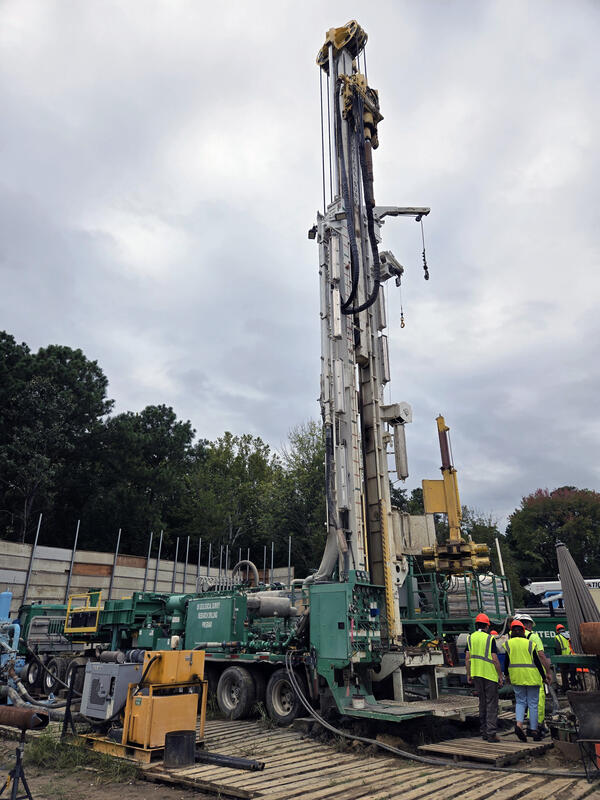
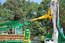
Connecting drill stem to the top head drive on the USGS Research Rig

Detailed Description
Connecting drill stem to the top head drive on the USGS Research Drilling program’s rig.
Sources/Usage
Public Domain.
Related

The Virginia Extensometer Network
Borehole extensometers are instruments that monitor land subsidence caused by aquifer compaction. They provide precise, high-resolution measurements of changes in aquifer-system thickness. These changes in aquifer-system thickness contribute to vertical land motion (VLM) across the Virginia Coastal Plain, and are driven primarily by groundwater level decline due to human water usage. The Virginia...

Land Subsidence on the Virginia Coastal Plain
Land subsidence is a loss of ground elevation, often experienced as the ground slowly sinking over the course of years. In eastern Virginia, high rates of groundwater use is a major factor in the land subsidence affecting the area. The Virginia-West Virginia Water Science Center, with the help of our partners, has been monitoring land subsidence in the Virginia Coastal Plain since 1979 using a...

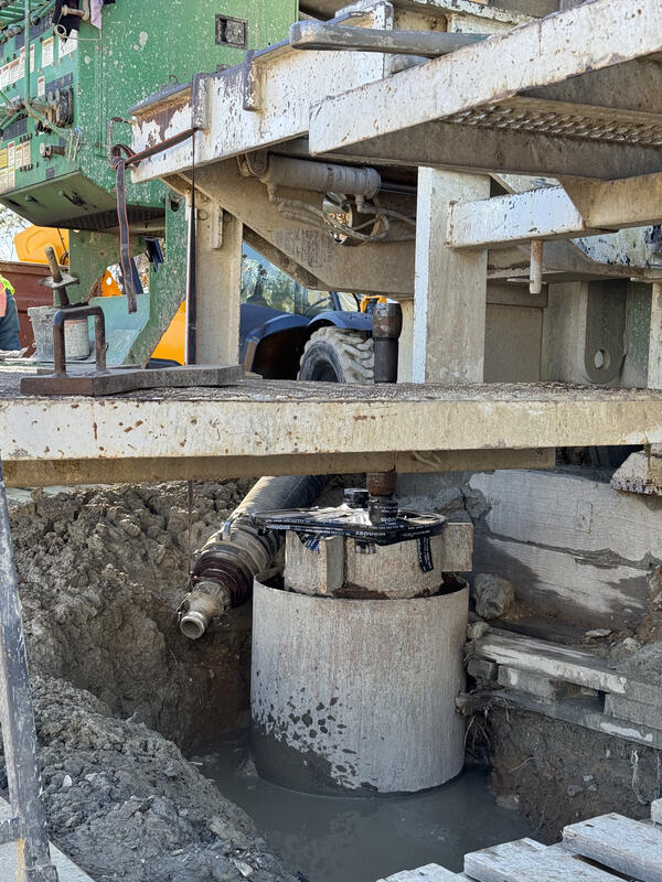
Extensometers and Compaction
Extensometers measure the compaction and expansion of the aquifer system, providing depth-specific data that can help CAWSC scientists better understand the rate, extent, and at what depths in the system subsidence is occurring.
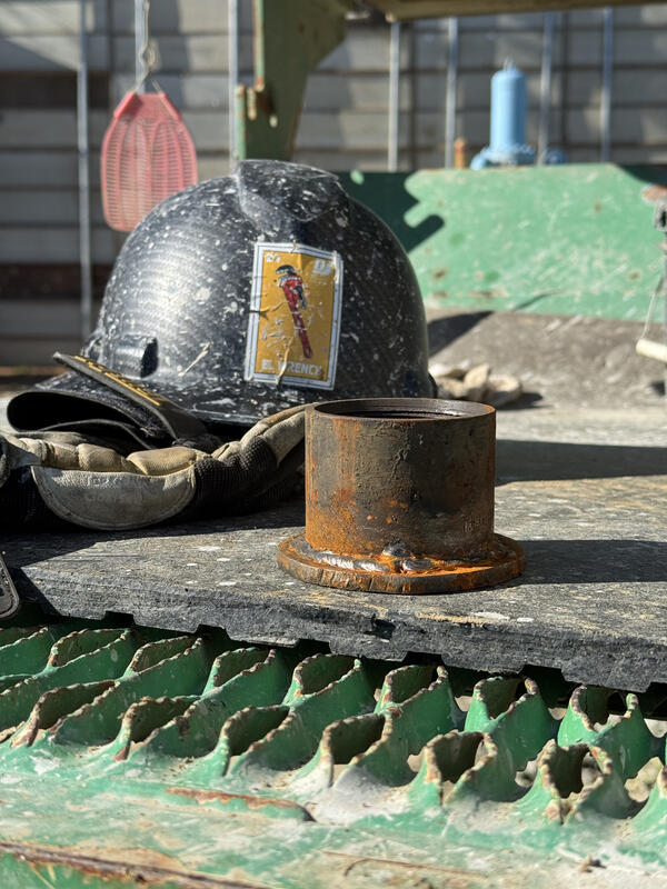
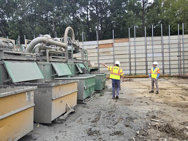
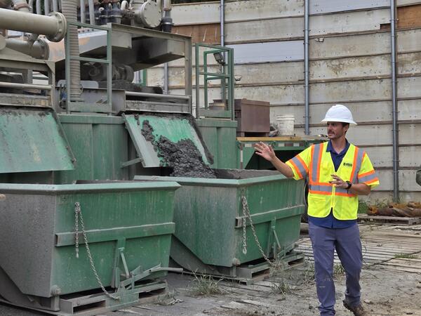
Virginia Extensometer Drilling
Virginia Extensometer Drilling


Nansemond Extensometer
Nansemond Extensometer


Related
The Virginia Extensometer Network
Borehole extensometers are instruments that monitor land subsidence caused by aquifer compaction. They provide precise, high-resolution measurements of changes in aquifer-system thickness. These changes in aquifer-system thickness contribute to vertical land motion (VLM) across the Virginia Coastal Plain, and are driven primarily by groundwater level decline due to human water usage. The Virginia...
Land Subsidence on the Virginia Coastal Plain
Land subsidence is a loss of ground elevation, often experienced as the ground slowly sinking over the course of years. In eastern Virginia, high rates of groundwater use is a major factor in the land subsidence affecting the area. The Virginia-West Virginia Water Science Center, with the help of our partners, has been monitoring land subsidence in the Virginia Coastal Plain since 1979 using a...
Extensometers and Compaction
Extensometers measure the compaction and expansion of the aquifer system, providing depth-specific data that can help CAWSC scientists better understand the rate, extent, and at what depths in the system subsidence is occurring.
Virginia Extensometer Drilling
Virginia Extensometer Drilling
Nansemond Extensometer
Nansemond Extensometer