



High-definition image of spodumene specimen with fibrous texture and light coloration.
Images
Images from the Geology, Energy and Minerals Mission Area
Filter Total Items: 565
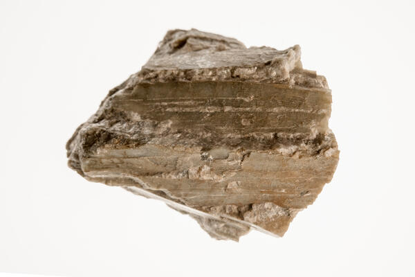
Spodumene Specimen 2
High-definition image of spodumene specimen with fibrous texture and light coloration.
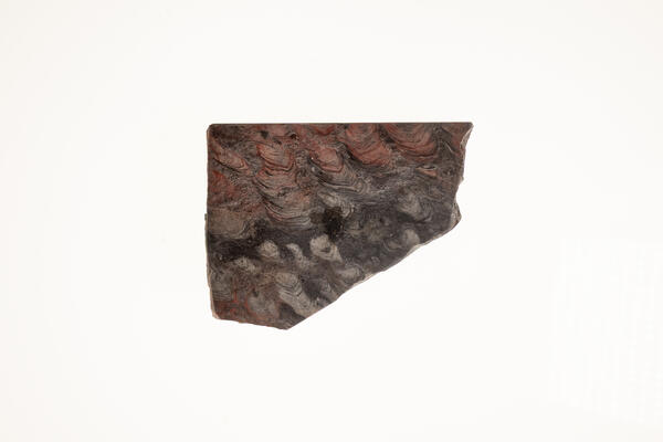
Stromatolites with Algal Structure
USGS mineral specimen of stromatolites showing preserved algal structures. High-definition image highlighting layered texture and fossil patterns.
USGS mineral specimen of stromatolites showing preserved algal structures. High-definition image highlighting layered texture and fossil patterns.
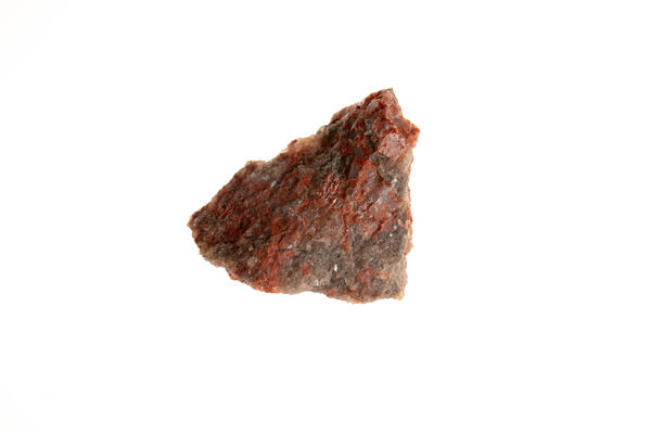
Sylvite, Halite & Polyhalite
Isolated specimen featuring sylvite, halite, and polyhalite. High-definition image showing crystal textures and varied coloration.
Isolated specimen featuring sylvite, halite, and polyhalite. High-definition image showing crystal textures and varied coloration.
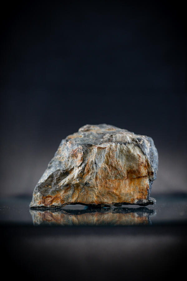
Argentiferous Tetrahedrite
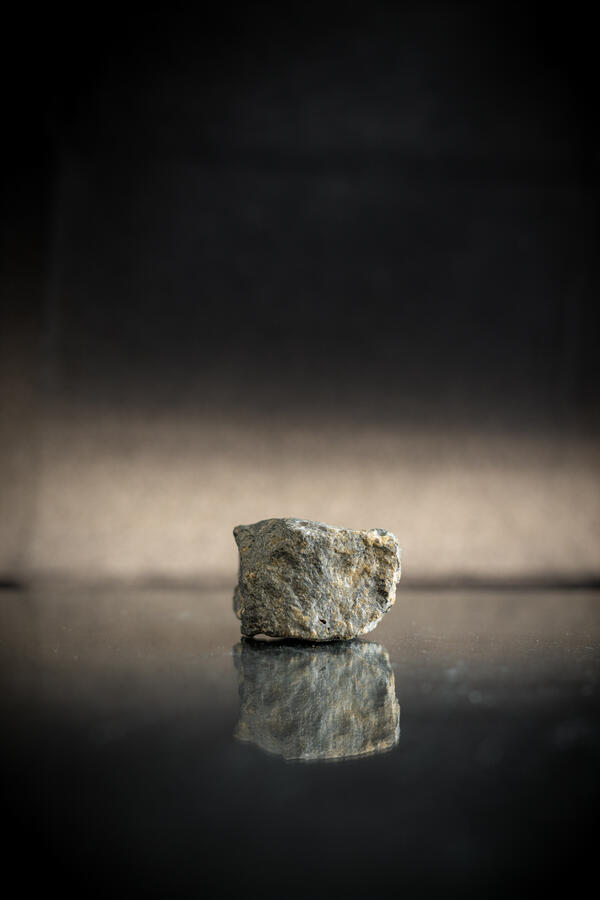
Isolated tetrahedrite specimen with silver content. High-definition image showing granular texture and metallic luster.
Isolated tetrahedrite specimen with silver content. High-definition image showing granular texture and metallic luster.
Argentiferous Tetrahedrite 2
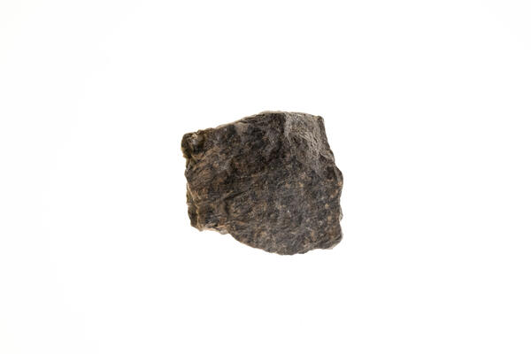
High-definition image of argentiferous tetrahedrite specimen with dark coloration and metallic inclusions.
High-definition image of argentiferous tetrahedrite specimen with dark coloration and metallic inclusions.
Argentiferous Tetrahedrite 3
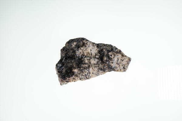
USGS mineral specimen of argentiferous tetrahedrite. High-definition image showing granular structure and metallic sheen.
USGS mineral specimen of argentiferous tetrahedrite. High-definition image showing granular structure and metallic sheen.
Rutile (Titanium Ore)
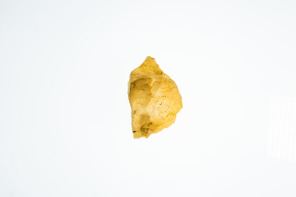
Isolated rutile specimen from the USGS mineral collection. High-definition image showing prismatic structure and reddish-brown color.
Isolated rutile specimen from the USGS mineral collection. High-definition image showing prismatic structure and reddish-brown color.
Trona Specimen
Isolated trona specimen from the USGS mineral collection. High-definition image showing fibrous texture and pale coloration.
Isolated trona specimen from the USGS mineral collection. High-definition image showing fibrous texture and pale coloration.
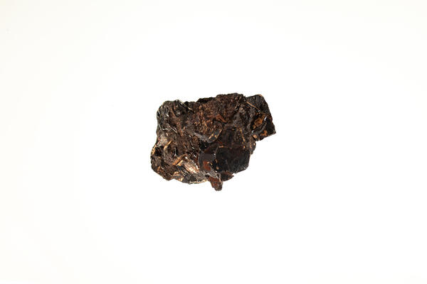
Wolframite (Tungsten Ore) 1
High-definition image of wolframite specimen with granular texture and black coloration.
High-definition image of wolframite specimen with granular texture and black coloration.
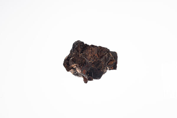
Wolframite (Tungsten Ore) 2
USGS mineral specimen of wolframite. High-definition image showing layered structure and metallic inclusions.
USGS mineral specimen of wolframite. High-definition image showing layered structure and metallic inclusions.
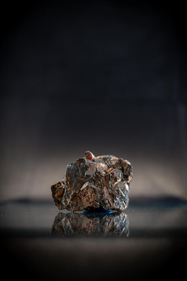
Wolframite (Tungsten Ore) 3
High-definition image of wolframite specimen with fine-grained texture and dark luster.
High-definition image of wolframite specimen with fine-grained texture and dark luster.

Vanadinite Specimen
Isolated vanadinite specimen from the USGS mineral collection. High-definition image showing hexagonal crystals and red-orange color.
Isolated vanadinite specimen from the USGS mineral collection. High-definition image showing hexagonal crystals and red-orange color.
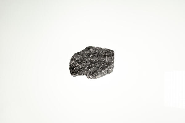
Vanadium Sample 2
High-definition image of vanadium specimen with fine-grained texture and silvery color.
High-definition image of vanadium specimen with fine-grained texture and silvery color.
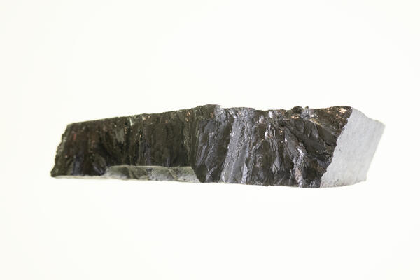
Zinc Sample
Isolated zinc specimen from the USGS mineral collection. High-definition image showing metallic luster and smooth surface.
Isolated zinc specimen from the USGS mineral collection. High-definition image showing metallic luster and smooth surface.
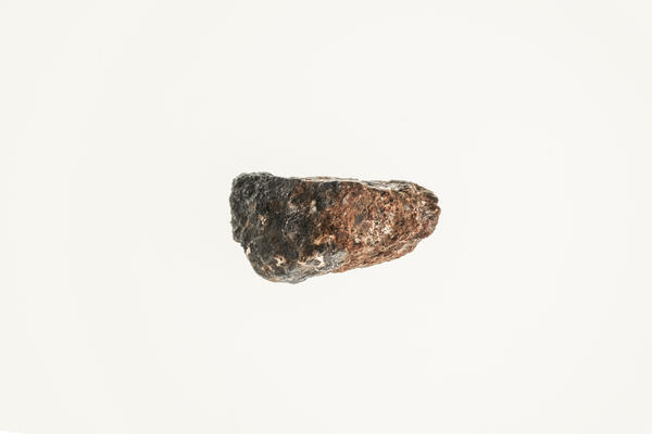
Zincite Specimen
High-definition image of zincite specimen with reddish-orange color and granular texture.
High-definition image of zincite specimen with reddish-orange color and granular texture.
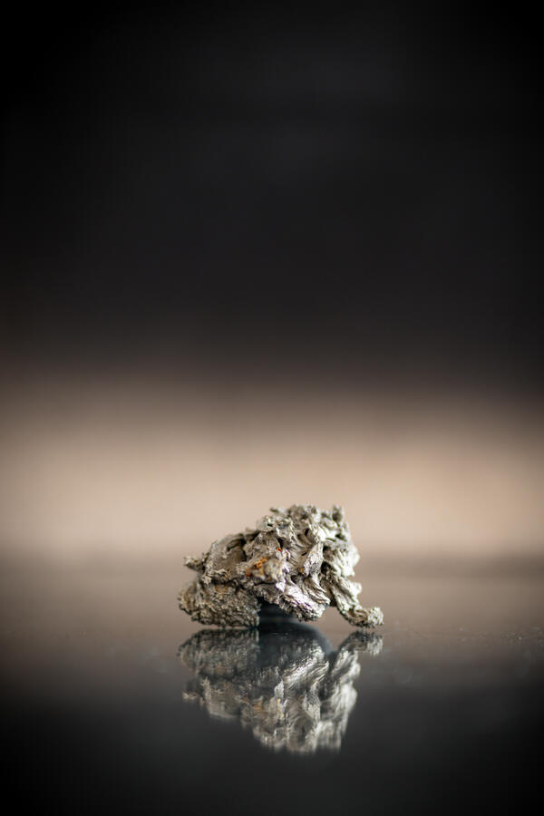
Zirconium Metal Sample
Isolated zirconium metal specimen from the USGS mineral collection. High-definition image showing metallic surface and smooth texture.
Isolated zirconium metal specimen from the USGS mineral collection. High-definition image showing metallic surface and smooth texture.
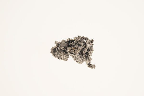
Zirconium Metal Sample 2
High-definition image of zirconium metal specimen with fine-grained texture and silvery color.
High-definition image of zirconium metal specimen with fine-grained texture and silvery color.
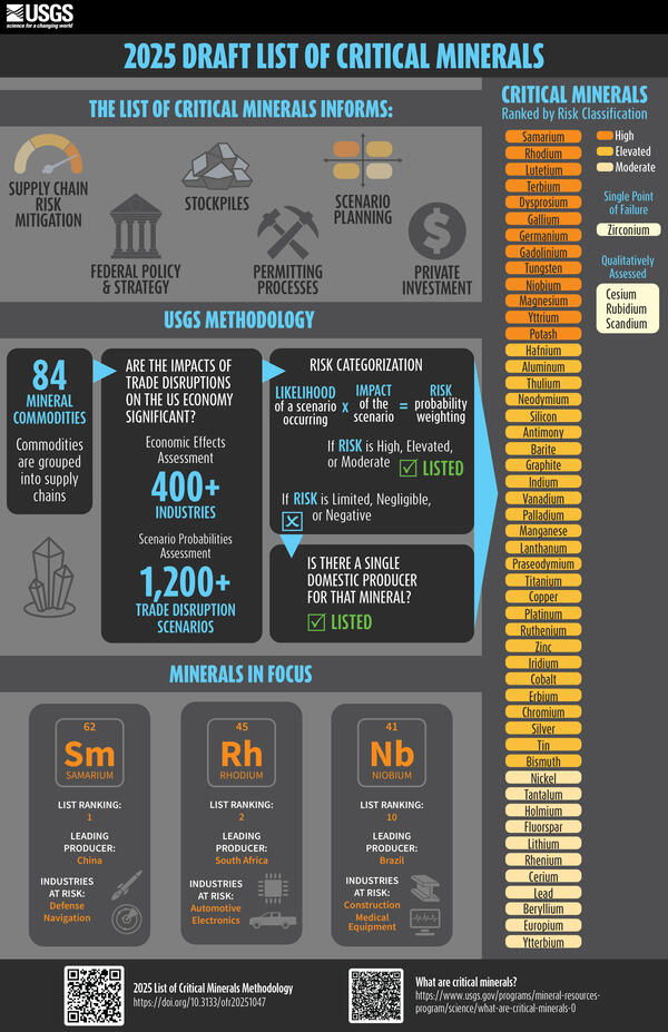
2025 Draft List of Critical Minerals
The List of Critical Minerals Informs:
-
Supply chain risk mitigation
-
Federal policy and strategy
-
Stockpiles
-
Permitting Processes
The List of Critical Minerals Informs:
-
Supply chain risk mitigation
-
Federal policy and strategy
-
Stockpiles
-
Permitting Processes
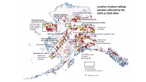
Alaska locations of USGS placer tailings sampling sites
Alaska locations of USGS placer tailings sampling sitesMap showing locations of placer mines in the Alaska Resource Data File (ARDF, red crosses), primary mineral districts that contain targeted critical minerals (black boxes) and locations that were sampled by the USGS in 2022 through 2024 (yellow stars).
Alaska locations of USGS placer tailings sampling sites
Alaska locations of USGS placer tailings sampling sitesMap showing locations of placer mines in the Alaska Resource Data File (ARDF, red crosses), primary mineral districts that contain targeted critical minerals (black boxes) and locations that were sampled by the USGS in 2022 through 2024 (yellow stars).
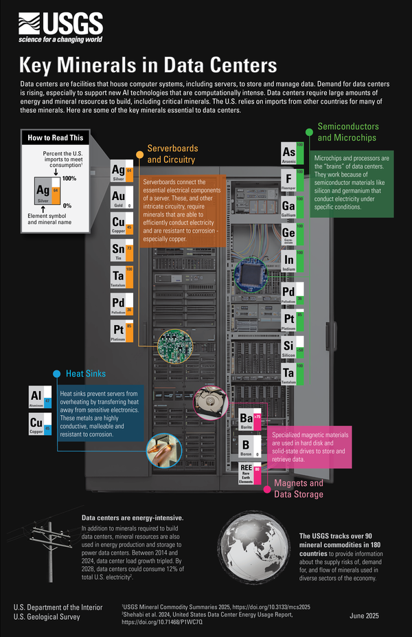
Key Minerals in Data Centers Infographic
Key Minerals in Data Centers
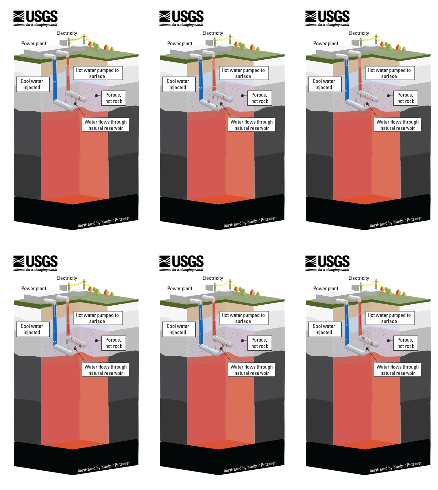
Hydrothermal Energy Resources (Illustrated GIF)
Conventional hydrothermal resources occur below the ground where three ingredients combine: heat, water and permeable rock. When heated water or steam is trapped in a porous rock below a layer of less permeable rock, a hydrothermal reservoir is formed.
Conventional hydrothermal resources occur below the ground where three ingredients combine: heat, water and permeable rock. When heated water or steam is trapped in a porous rock below a layer of less permeable rock, a hydrothermal reservoir is formed.