
About
The vision for Core Science Systems builds on core strengths of the USGS in characterizing and understanding complex Earth and biological systems through research, modeling, mapping, and the production of high quality data on the Nation’s natural resource infrastructure.
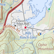
100K OnDemand Topo Cartographic Specifications 100K OnDemand Topo Cartographic Specifications
This page and associated links define the U.S. Geological Survey (USGS) 100K OnDemand Topo cartographic specifications including feature symbology and labels. The specifications are organized by data sets and themes listed within.

A message from the Director A message from the Director
Welcome to the National Geospatial Technical Operations Center (NGTOC)!
Who we are Who we are
The NGTOC, along with the Earth Resources Observation and Science Center (EROS), comprises the US Geological Survey’s National Geospatial Directorate (NGD). The NGD provides trusted geospatial products, services, and science for the Nation and is closely aligned with the missions of the NGP under the umbrella of the Core Science Systems Mission Area of the USGS.
What we do What we do
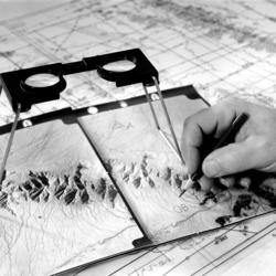
In 1889, Congress first made annual appropriations to the USGS for topographic mapping. The NGTOC continues that work today. The NGTOC provides leadership and world-class technical expertise in the acquisition and management of trusted geospatial data, services, and map products for the Nation. It is responsible for the implementation of national geospatial projects.
Why it matters Why it matters
The USGS works with many partners to provide objective and impartial science to resource managers, emergency responders, and the public. Our products and data are necessary to understand, monitor, and detect changes that affect the Nation’s natural and agricultural resources, the economy, public safety, and security.
History History
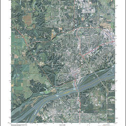
The NGTOC has a rich history dating back to 1889 when Congress first made annual appropriations to the USGS for topographic mapping. Employees in the Center today continue to perform the USGS National mapping mission by supporting The National Map, 3D Elevation Program, National Hydrography, and US Topo.