
The NGTOC has a rich history dating back to 1889 when Congress first made annual appropriations to the USGS for topographic mapping.
Employees in the Center today continue to perform the USGS National mapping mission by supporting The National Map, 3D Elevation Program, National Hydrography, and US Topo.
Welcome to the National Geospatial Technical Operations Center (NGTOC)!
The NGTOC has a rich history dating back to 1889 when Congress first made annual appropriations to the USGS for topographic mapping. From that point forward, the USGS topographic mapping program has taken many forms - from the early days of mapping in the field through the compilation of maps using aerial imagery through all phases of digital mapping, including the current very high resolution, “smart” data being created and published today as part of the National Geospatial Program.
The Center still maintains many of the map materials used to create the original USGS Topographic Map Series, however, geospatial information experts in the Center work with high resolution digital information that is used in many applications, from flood hazard analyses, to site planning to recreation.
One of the defining features about the NGTOC is that we are “one organization in two locations.” Employees in both sites work virtually side by side to create and maintain national, authoritative geospatial data for the nation.
We look forward to hearing from you as you access and use the products and services created and maintained by the NGTOC and partners in support of the National Geospatial Program.
A glimpse into the past

Although the historical maps may not show the current landscape, they are often useful to scientists, historians, environmentalists, genealogists, and many others as a snapshot of the nation's physical and cultural features at a particular time. A series of maps of the same area may show how it looked as early as the 1880s and provide a detailed view of changes in that area over time.
Scaled paper topographic maps

Did you ever hunt, fish, hike, bike, or cross-country ski using a paper topographic "quad" map for guidance? Chances are it was USGS 7.5-minute (1:24,000 scale) topographic map series produced and printed by the USGS since 1947.
These maps showed latitude and longitude lines, roads, railroads, tunnels, and mines. They showed federal land boundaries, telephone lines, pipelines, and land surveys. They showed vegetation types, water bodies, coastal features, and contours. They showed cities, towns, buildings, schools, picnic areas, campgrounds, and cemeteries.
All of this (and more!) was available to the public for use.
US Topo: Maps for America
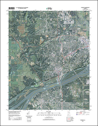
Launched in 2009, US Topos combine the familiar look and feel of legacy paper USGS topographic maps with technological advances of the 21st century. US Topo maps offer consistent and complete coverage of the Nation, including Hawaii, Puerto Rico, the U.S. Virgin Islands, and Alaska (completed 2021).
US Topos are refreshed using GIS data from The National Map and published as free geospatial PDF documents. Please visit US Topo: Maps for America for full details.
OnDemand Topos from topoBuilder
With the release of topoBuilder in early 2022, a third variety of USGS topographic map was born. This public application enables users to build USGS-style topographic maps with customizations such as choice of format, area of interest, and National Map content. These next-generation maps, known as OnDemand Topos, are produced upon request using the best available data from The National Map. Learn more at the topoBuilder landing page.


