
Oregon Waters: Winter 2026
Greetings, partners and friends of the Oregon Water Science Center,
Please enjoy the updates we’ve curated for you in our Winter 2026 newsletter. In this issue, you’ll find a message from our director highlighting 2025 staffing changes and updates, along with newsworthy items and featured project webpages, publications, and photos.
-
Message from the Director—Oregon Water Science Center, Winter 2026 Newsletter Message from the Director—Oregon Water Science Center, Winter 2026 Newsletter
Updates from the Center Director, Joanna Thamke.
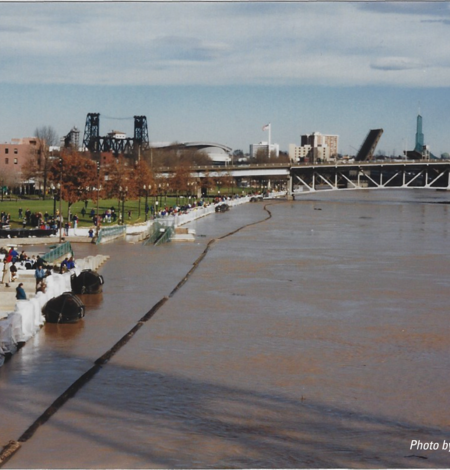
USGS Oregon Water Science Center remembers the 1996 flood
In February 1996, one of the Pacific Northwest’s most devastating floods of the 20th century struck the region. The U.S. Geological Survey’s rapid response helped protect communities and earned national recognition.
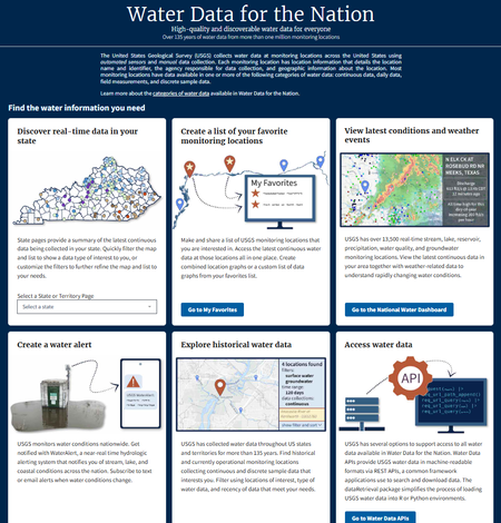
Water data delivery changes and new features: real-time data, APIs, interactive maps, charts, and tables
Important changes to how USGS water data will be delivered as we modernize our water data storage and delivery systems.
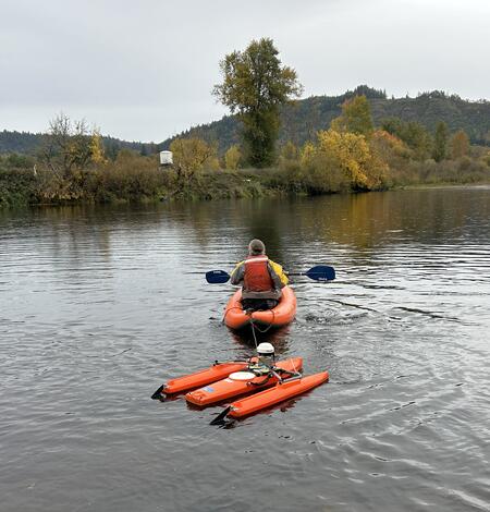
The USGS Oregon Water Science Center measures high flows near you
USGS response to Oregon high flows, December 2025.
Featured project web pages:
-

Tracking Tire Chemicals in Oregon Streams
The USGS studies 6PPD-quinone, a compound released from vehicle tires that can harm salmon and other fish. This research is part of a national effort to understand and mitigate stormwater pollution.
-
Alluvial reach identification and hydrogeomorphic characterization of Oregon rivers
The USGS, in partnership with the Environmental Protection Agency (EPA), is developing an objective mapping framework to systematically identify alluvial reaches in 13 river basins across Oregon to support EPA and Oregon’s Department of Environmental Quality (DEQ) in their implementation of the Clean Water Act’s water temperature Total Maximum Daily Loads (TMDLs), as well as to support the...
-

Willamette Focused Investment Partnership Restoration Effectiveness Monitoring Program
The USGS, in collaboration with several Willamette River Basin partners, led a multi-phase program to assess the effectiveness of restoration efforts aimed at improving native fish habitat in the Willamette River. The Willamette Focused Investment Partnership Restoration Effectiveness Monitoring Program evaluates whether restoration projects achieved their targets to improve physical floodplain...
-

Controls on habitat for native lamprey in the Siletz River Basin
Chinook Salmon and Pacific Lamprey are culturally significant fishes to the Tribal community along the Siletz River, Oregon. The USGS studied how streamflow and bedload conditions may influence mainstem spawning habitats.
-

Modeling distributions of native Western Pearlshell and Western Ridged Mussels in the Willamette River Basin, western Oregon
The U.S. Geological Survey is working with Tribal, federal, state, and non-profit partners to understand and predict where native Western Pearlshell and Western Ridged mussels are found in the Willamette River Basin. Freshwater mussels provide critical ecosystem services to people but are imperiled world-wide. Findings will support freshwater mussel management and conservation in the Willamette...
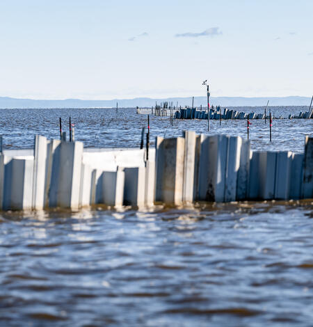
Evaluating effectiveness of flocculation and wave-reduction barriers for restoration of a turbid, terminal lake
Malheur Lake is a freshwater, shallow lake that provides key habitat for birds along the Pacific Flyway in North America. The lake shifted to a turbid state in the 1990s with suspended-sediment concentrations sometimes exceeding 1000 mg/L and minimal light available in the water column for submerged aquatic vegetation. Resource managers intend to enhance bird habitat quality by restoring...
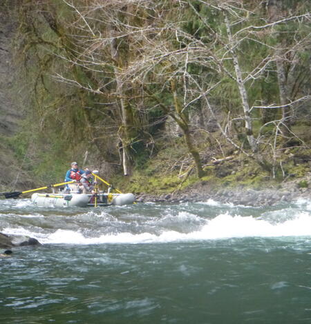
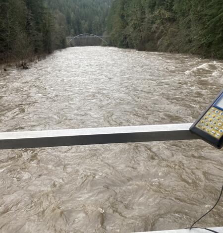
Sandy River near Marmot, Oregon
A view from the cableway while measuring high flow at the Sandy River near Marmot gaging station (14137000).
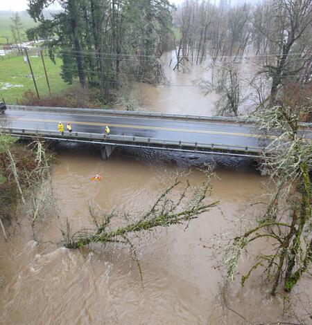
Aerial view of the Mohawk River
Oregon Water Science Center Hydrologic Technicians, Ben Thorpe, Kyle Flannery, and Itziar Zandueta Lopez, measured high flows on the Mohawk River Near Springfield, OR (14165000), concurrently using an Acoustic Doppler Current Profiler (ADCP) and an uncrewed aerial system (UAS).
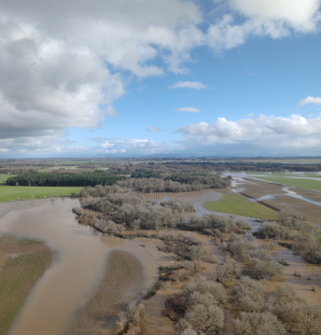
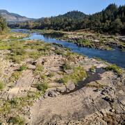
Aerial image of Marys River
USGS Hydrologic Technicians captured this aerial image above Marys River during the December 2025 flood event.
Thank you for reading the Winter 2026 edition of the Oregon Waters Newsletter!