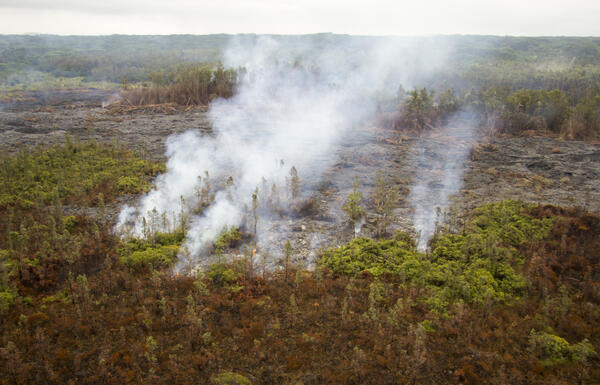
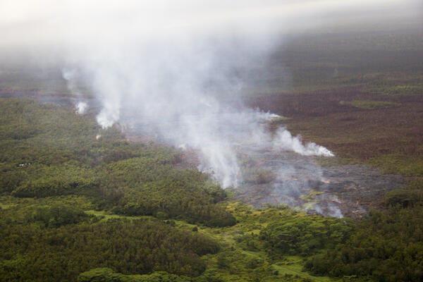
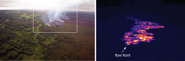
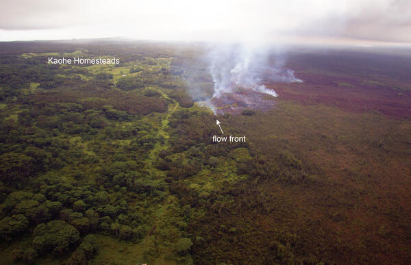
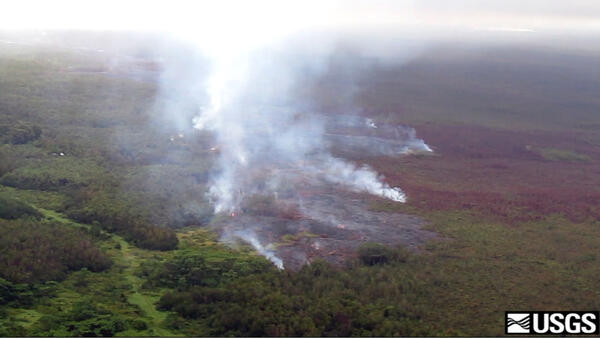
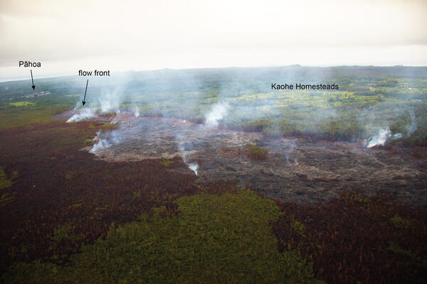
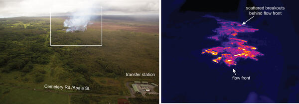
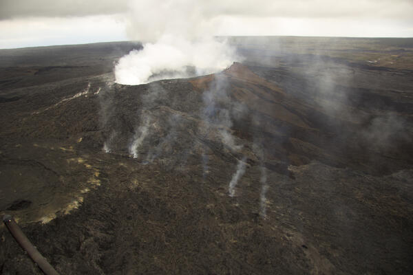
A comparison of a normal photograph of the flow front with a therma...
A comparison of a normal photograph of the flow front with a therma...A comparison of a normal photograph of the flow front with a thermal image. Although the leading edge of the flow has advanced only a slight amount over the past week (about 100 m, or 110 yards), active portions behind the flow front have moved at a faster rate.