A dead Common Murre found on the beach in Prince William Sound
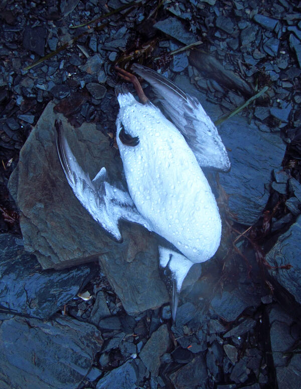
A dead Common Murre found on the beach in Prince William SoundA dead Common Murre found on the beach in Prince William Sound on Jan 7, 2016. This bird was part of the large die-off of Common Murres across the Gulf of Alaska in 2015-2016.