U.S. flag

An official website of the United States government

Multimedia

Browse a selection of videos, audio clips, images, and more from a wide range of science topics covered by USGS.

Images

Ric Wilson stands next to a portrait of himself during a presentation of "Black in Alaska" in Anchorage.
Ric Wilson at a "Black in Alaska" event

Ric Wilson, a doctorate in geology and USGS research geologist at the Alaska Science Center in Anchorage, Alaska. 

Ric Wilson, a doctorate in geology and USGS research geologist at the Alaska Science Center in Anchorage, Alaska. 

A green hat with the USGS logo sits on the ground on top of red and green plants.
USGS hat on black bear berry

A USGS hat sits on a bed of black bear berry vegetation. This photo was taken in Kanuti, Alaska. 

A USGS hat sits on a bed of black bear berry vegetation. This photo was taken in Kanuti, Alaska. 

Polar bear walking along Beaufort Sea coast with storm waves breaking behind it
Polar bear walking along Beaufort Sea coast

A polar bear walking along the Beaufort Sea coast with storm waves breaking behind it, filmed during fieldwork at Barter Island, Alaska.

A polar bear walking along the Beaufort Sea coast with storm waves breaking behind it, filmed during fieldwork at Barter Island, Alaska.

Two scientists wade with an orange inflatable boat in shallow Alaskan wetland
Two scientists wade in shallow wetland in Izembek National Wildlife Refuge, Alaska

USGS research hydrologist Laura Hubbard and Memorial University of Newfoundland's Jordan Wight wade with an orange inflatable boat in shallow wetland as they filter for infectious avian influenza in Izembek National Wildlife Refuge, Alaska.

USGS research hydrologist Laura Hubbard and Memorial University of Newfoundland's Jordan Wight wade with an orange inflatable boat in shallow wetland as they filter for infectious avian influenza in Izembek National Wildlife Refuge, Alaska.

Researchers walk between hundreds of spawning sockeye salmon in shallow lake at Izembek National Wildlife Refuge, Alaska
Scientists walk between hundreds of spawning sockeye salmon in shallow lake at Izembek National Wildlife Refuge, Alaska

USGS Upper Midwest Water Science Center hydrologist Laura Hubbard (right, in yellow coat and PFD) and Jordan Wight (left, Memorial University of Newfoundland, Canada) walk between hundreds of spawning sockeye salmon in shallow lake at Izembek National Wildlife Refuge, Alaska as they filter water for avian influenza virus.

USGS Upper Midwest Water Science Center hydrologist Laura Hubbard (right, in yellow coat and PFD) and Jordan Wight (left, Memorial University of Newfoundland, Canada) walk between hundreds of spawning sockeye salmon in shallow lake at Izembek National Wildlife Refuge, Alaska as they filter water for avian influenza virus.

Videos

Two polar bears in water. Top center you see the underside chin of bear and below you see full face and neck of bear. POV Polar Bear Collar Cam B-roll 2019, 2021, and 2022
POV Polar Bear Collar Cam B-roll 2019, 2021, and 2022

This is B-roll video of POV Polar Bear Collar Cam B-roll 2019, 2021, and 2022. 

This is B-roll video of POV Polar Bear Collar Cam B-roll 2019, 2021, and 2022. 

View of steep lava mountain with title text and description. Lava Onion? Lava flows - peeling back the layers (Yellowstone Volcano Update - November 2023)
Lava Onion? Lava flows - peeling back the layers (Yellowstone Volcano Update - November 2023)

Lava flows are one of the coolest (or maybe hottest!) features about volcanoes, but what would a lava flow look like if you could peel away the surface and take a peek underneath?

Barry Arm of Harriman Fjord, Prince William Sound, Alaska Prince William Sound Landslide Hazards Project Overview
Prince William Sound Landslide Hazards Project Overview

This video provides a brief overview of the Prince William Sound Landslide Hazards Project in Alaska. The video describes each of the congressional mandates that makes up the project tasks. This is the first video in a series about the project.

This video provides a brief overview of the Prince William Sound Landslide Hazards Project in Alaska. The video describes each of the congressional mandates that makes up the project tasks. This is the first video in a series about the project.

Field crew sit on boardwalk while collecting UAS methane measurements in Alaska 2023 USGS using drones to measure methane escaping Arctic permafrost - Aug 2023
USGS using drones to measure methane escaping Arctic permafrost - Aug 2023

As permafrost soils in the Arctic warm and thaw, greenhouse gases including methane are released into the atmosphere. USGS Ecologist Kristen Manies of the USGS Geology, Minerals, Energy, and Geophysics Science Center (GMEGSC) is researching low-cost ways to measure methane emissions across these changing ecosystems.

As permafrost soils in the Arctic warm and thaw, greenhouse gases including methane are released into the atmosphere. USGS Ecologist Kristen Manies of the USGS Geology, Minerals, Energy, and Geophysics Science Center (GMEGSC) is researching low-cost ways to measure methane emissions across these changing ecosystems.

A screenshot from a video of a rising glacial lake in Alaska. The lake is filled with large chunks of ice. HIVIS captures glacial lake rise in Alaska
HIVIS captures glacial lake rise in Alaska

This is a timelapse video of a rising glacial lake in Alaska from May through August 2023. This video was captured by a USGS Hydrologic Imagery Visualization and Information System (HIVIS) camera. The water level in the lake gradually rises throughout the video and then the water level dramatically decreases towards the end of the video.

This is a timelapse video of a rising glacial lake in Alaska from May through August 2023. This video was captured by a USGS Hydrologic Imagery Visualization and Information System (HIVIS) camera. The water level in the lake gradually rises throughout the video and then the water level dramatically decreases towards the end of the video.

Aerial survey for Black Brant at Izembek Lagoon, Alaska USGS Alaska Science Center Ecosystems Analytics Program
USGS Alaska Science Center Ecosystems Analytics Program

The USGS Alaska Science Center Ecosystems Analytics program is a group of quantitative biologists and research statisticians who provide analytical support to USGS scientists to answer challenging ecological topics and management questions for USGS partners.

The USGS Alaska Science Center Ecosystems Analytics program is a group of quantitative biologists and research statisticians who provide analytical support to USGS scientists to answer challenging ecological topics and management questions for USGS partners.

Audio

Outstanding in the Field Episode 11 Artwork with microphone and headset graphic overlaying image of brown bears in a river.
Outstanding in the Field Episode 11 Artwork
USGS Outstanding in the Field, Episode 11, Designing Accessible Research for Rural Communities
Outstanding in the Field Episode 11 Artwork with microphone and headset graphic overlaying image of brown bears in a river.
Outstanding in the Field Episode 11 Artwork
USGS Outstanding in the Field, Episode 11, Designing Accessible Research for Rural Communities

This is a special edition of Outstanding in the Field, the U.S. Geological Survey’s podcast series produced by the Ecosystems Mission Area. In this episode we highlight stories from the Alaska Voices podcast, a partnership between the U.S. Geological Survey’s Alaska Climate Adaptation Science Center and the University of Alaska Fairbanks.

This is a special edition of Outstanding in the Field, the U.S. Geological Survey’s podcast series produced by the Ecosystems Mission Area. In this episode we highlight stories from the Alaska Voices podcast, a partnership between the U.S. Geological Survey’s Alaska Climate Adaptation Science Center and the University of Alaska Fairbanks.

USGS
USGS Visual Identity (USGS logo) - Black (TM)
Walruses Hauled Out on the Northwest Coast of Alaska
USGS
USGS Visual Identity (USGS logo) - Black (TM)
Walruses Hauled Out on the Northwest Coast of Alaska

What do walrus sound like? Listen to audio clips of walrus bellowing as they are hauled out on the northwest coast of Alaska.

What do walrus sound like? Listen to audio clips of walrus bellowing as they are hauled out on the northwest coast of Alaska.

USGS
USGS Visual Identity (USGS logo) - Black (TM)
Walruses Hauled Out on the Northwest Coast of Alaska
USGS
USGS Visual Identity (USGS logo) - Black (TM)
Walruses Hauled Out on the Northwest Coast of Alaska

What do walrus sound like? Listen to audio clips of walrus bellowing as they are hauled out on the northwest coast of Alaska.

What do walrus sound like? Listen to audio clips of walrus bellowing as they are hauled out on the northwest coast of Alaska.

USGS
USGS Visual Identity (USGS logo) - Black (TM)
Walruses Hauled Out on the Northwest Coast of Alaska
USGS
USGS Visual Identity (USGS logo) - Black (TM)
Walruses Hauled Out on the Northwest Coast of Alaska

What do walrus sound like? Listen to audio clips of walrus bellowing as they are hauled out on the northwest coast of Alaska.
 

What do walrus sound like? Listen to audio clips of walrus bellowing as they are hauled out on the northwest coast of Alaska.
 

USGS
USGS Visual Identity (USGS logo) - Black (TM)
Walruses Hauled Out on the Northwest Coast of Alaska
USGS
USGS Visual Identity (USGS logo) - Black (TM)
Walruses Hauled Out on the Northwest Coast of Alaska

What do walrus sound like? Listen to audio clips of walrus bellowing as they are hauled out on the northwest coast of Alaska.

What do walrus sound like? Listen to audio clips of walrus bellowing as they are hauled out on the northwest coast of Alaska.

Webcams

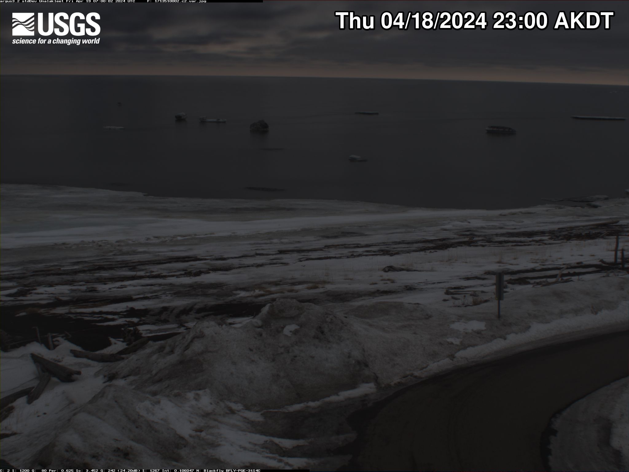
View of an Arctic beach area with gentle waters.
Unalakleet video camera 2 time exposure

Two video cameras overlook the coast from atop a windmill tower in Unalakleet, Alaska where they look westward over Norton Sound. Every half hour during daylight hours, the cameras collect snapshots and video for 10 minutes. Today’s most recent time-exposure (timex) image from camera 2 is shown here.

Two video cameras overlook the coast from atop a windmill tower in Unalakleet, Alaska where they look westward over Norton Sound. Every half hour during daylight hours, the cameras collect snapshots and video for 10 minutes. Today’s most recent time-exposure (timex) image from camera 2 is shown here.

View of an Arctic beach area with gentle waters.
Unalakleet video camera 1 variance image

Two video cameras overlook the coast from atop a windmill tower in Unalakleet, Alaska where they look westward over Norton Sound. Every half hour during daylight hours, the cameras collect snapshots and video for 10 minutes. Today’s most recent image from camera 1 is shown here.

Two video cameras overlook the coast from atop a windmill tower in Unalakleet, Alaska where they look westward over Norton Sound. Every half hour during daylight hours, the cameras collect snapshots and video for 10 minutes. Today’s most recent image from camera 1 is shown here.

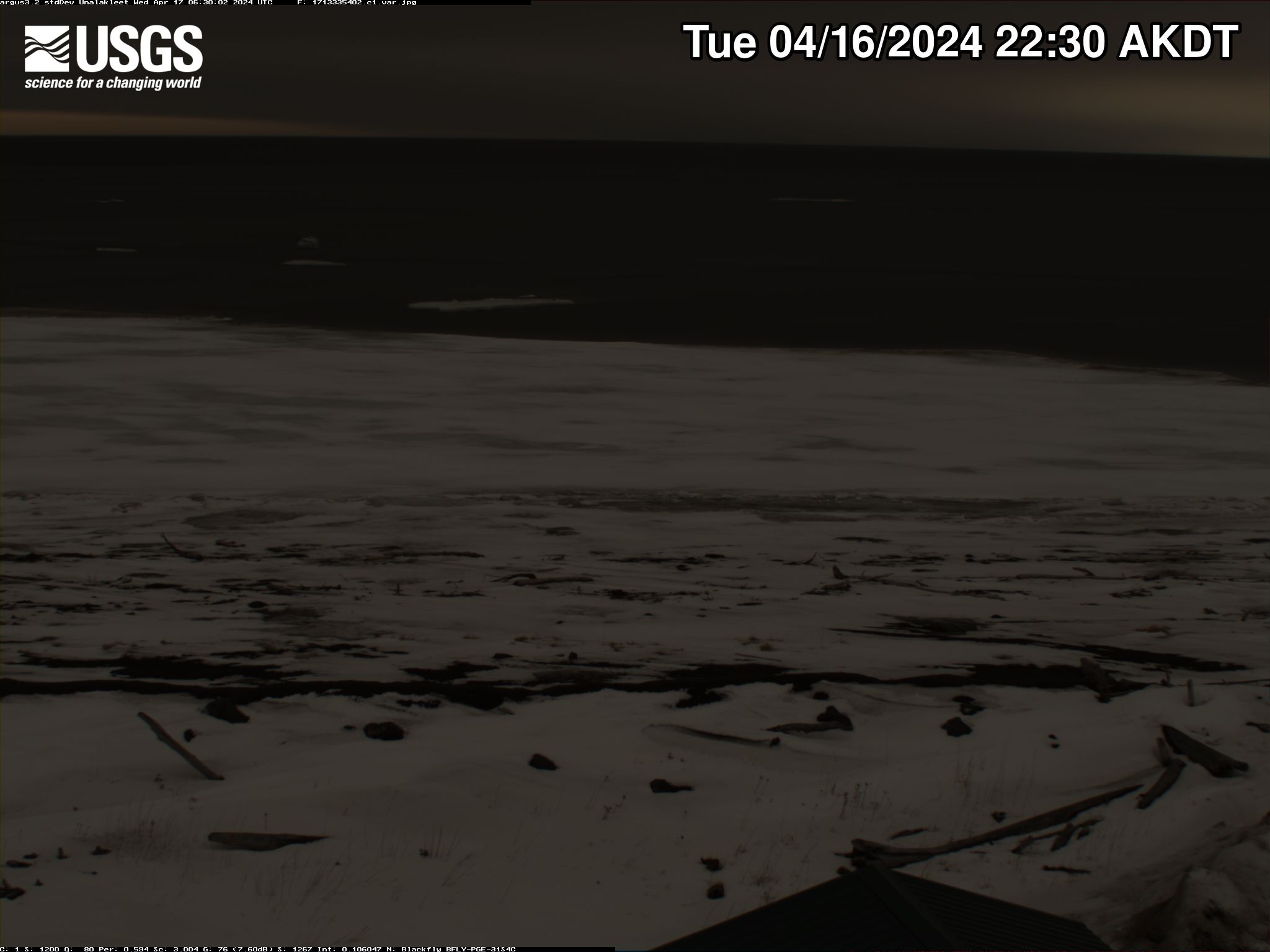
View of an Arctic beach area with gentle waters.
Unalakleet video camera 2 variance image

Two video cameras overlook the coast from atop a windmill tower in Unalakleet, Alaska where they look westward over Norton Sound. Every half hour during daylight hours, the cameras collect snapshots and video for 10 minutes. Today’s most recent image from camera 2 is shown here.

Two video cameras overlook the coast from atop a windmill tower in Unalakleet, Alaska where they look westward over Norton Sound. Every half hour during daylight hours, the cameras collect snapshots and video for 10 minutes. Today’s most recent image from camera 2 is shown here.

View of an Arctic beach area with gentle waters.
Unalakleet video camera 1 bright image

Two video cameras overlook the coast from atop a windmill tower in Unalakleet, Alaska where they look westward over Norton Sound. Every half hour during daylight hours, the cameras collect snapshots and video for 10 minutes. Today’s most recent image from camera 1 is shown here.

Two video cameras overlook the coast from atop a windmill tower in Unalakleet, Alaska where they look westward over Norton Sound. Every half hour during daylight hours, the cameras collect snapshots and video for 10 minutes. Today’s most recent image from camera 1 is shown here.

View of an Arctic beach area with gentle waters.
Unalakleet video camera 2 bright image

Two video cameras overlook the coast from atop a windmill tower in Unalakleet, Alaska where they look westward over Norton Sound. Every half hour during daylight hours, the cameras collect snapshots and video for 10 minutes. Today’s most recent image from camera 2 is shown here.

Two video cameras overlook the coast from atop a windmill tower in Unalakleet, Alaska where they look westward over Norton Sound. Every half hour during daylight hours, the cameras collect snapshots and video for 10 minutes. Today’s most recent image from camera 2 is shown here.

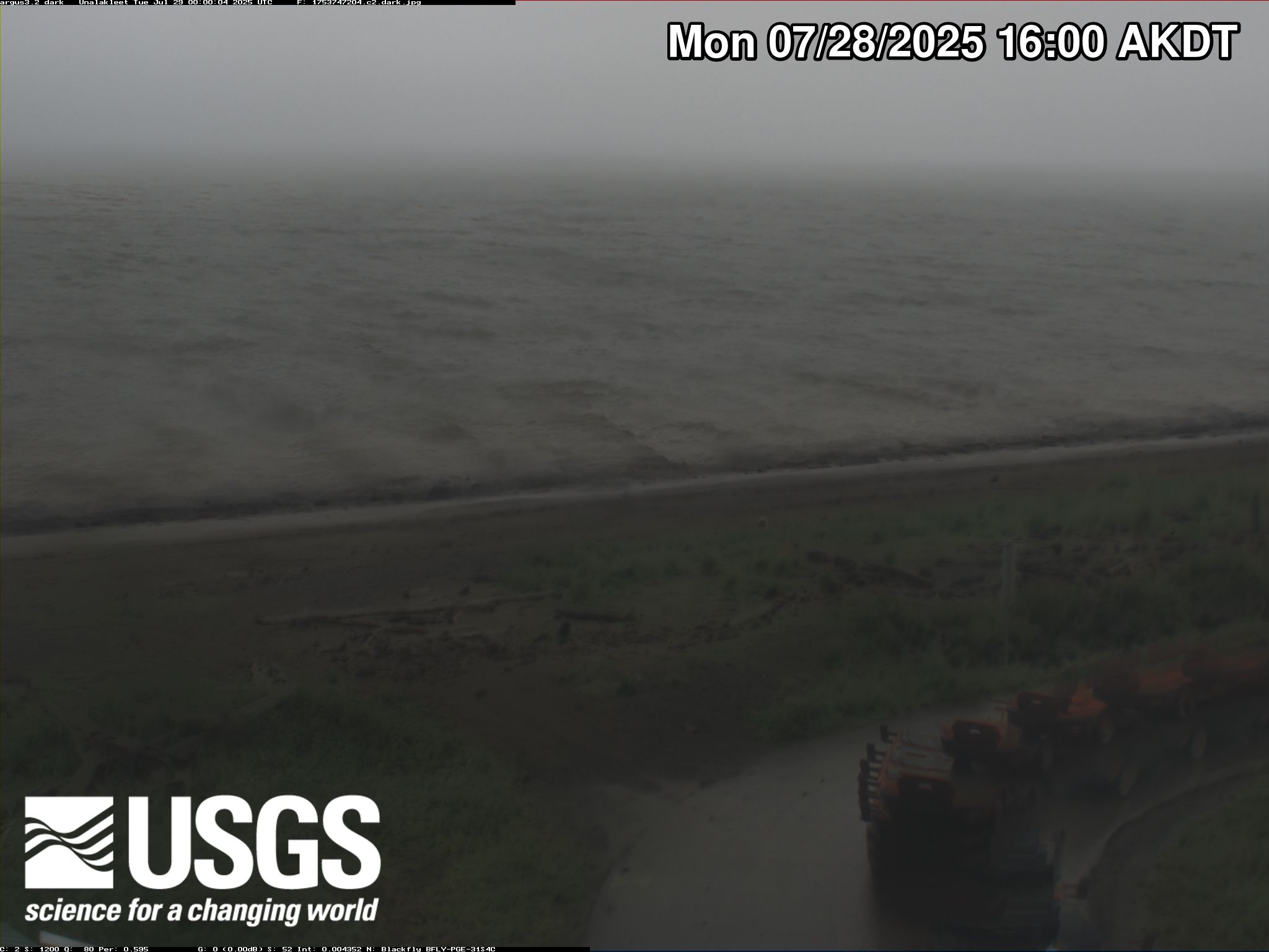
View of an Arctic beach area with gentle waters.
Unalakleet video camera 1 dark image

Two video cameras overlook the coast from atop a windmill tower in Unalakleet, Alaska where they look westward over Norton Sound. Every half hour during daylight hours, the cameras collect snapshots and video for 10 minutes. Today’s most recent image from camera 1 is shown here.

Two video cameras overlook the coast from atop a windmill tower in Unalakleet, Alaska where they look westward over Norton Sound. Every half hour during daylight hours, the cameras collect snapshots and video for 10 minutes. Today’s most recent image from camera 1 is shown here.

Was this page helpful?