U.S. flag

An official website of the United States government

Multimedia

If you are unable to access or download a product, email SalineLakeEcosystemsIWAA@usgs.gov.

Images

Person pushes a raft with equipment out to equipment in thigh deep choppy water
Continuous monitoring in Lake Abert

A USGS scientist wades into Lake Abert to service continuous water quality monitoring equipment.

man in hip waders walks through marsh. Red and brown grasses.
Discrete monitoring in Summer Lake Wildlife Area

A USGS scientist walks in the marsh at Summer Lake Wildlife Area to collect discrete water quality monitoring measurements.

Person holds a rectangular device in both hands pointing it at the dry desert landscape.
Measuring reflectance of a playa

A scientist's POV as they collect reflectance measurements of the Summer Lake playa. The reflectance measurements are used to test how well mud is distinguished from shallow surface water in satellite imagery.

A scientist's POV as they collect reflectance measurements of the Summer Lake playa. The reflectance measurements are used to test how well mud is distinguished from shallow surface water in satellite imagery.

rocky, vegetated shoreline of a lake in an arid environment. The water is calm and reflects the low, brown hills
Looking south at the Great Salt Lake

A view from Antelope Island State Park in Utah shows the receding shoreline of the Great Salt Lake, highlighting extensive areas of exposed lakebed.

A view from Antelope Island State Park in Utah shows the receding shoreline of the Great Salt Lake, highlighting extensive areas of exposed lakebed.

a shallow water body with rocky shores and tall grass in the background. Clear blue day. Blue instrument in water.
Water-quality measurements at Barnyard Spring

A multiparameter water-quality monitoring instrument is deployed in the clear, shallow waters of Barnyard Spring, which feeds into Harney Lake in Harney County, Oregon. This rugged device collects data on vital parameters such as pH, temperature, conductivity, dissolved oxygen, and turbidity, supporting ongoing research efforts.

A multiparameter water-quality monitoring instrument is deployed in the clear, shallow waters of Barnyard Spring, which feeds into Harney Lake in Harney County, Oregon. This rugged device collects data on vital parameters such as pH, temperature, conductivity, dissolved oxygen, and turbidity, supporting ongoing research efforts.

Videos

image of first video slide image of first video slide
Saline Lake Ecosystems IWAA Spring Seminar: Project Updates and 2025 Field Season Plans

This video presents the Spring 2025 
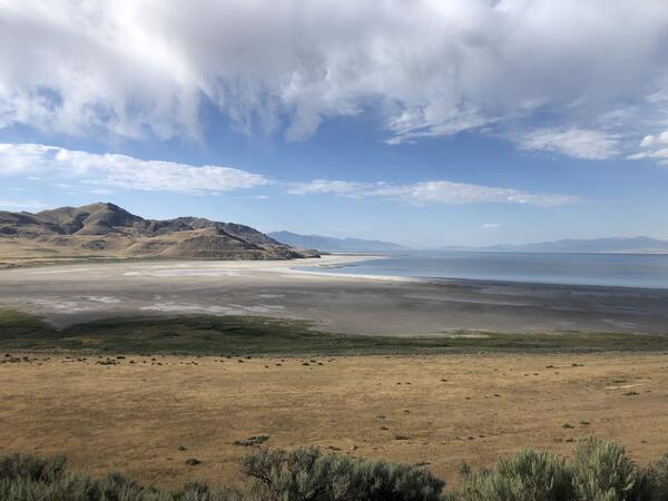
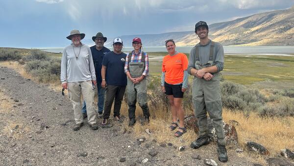
Saline Lake Ecosystems Integrated Water Availability Assessment Spring Seminar by the U.S. Geological Survey (USGS). Hosted by Allison Shipp, the seminar provides updates on how hydroclimatic changes and water management affect terminal lake ecosystems and waterbird populations.

title slide of USGS presentation on satellite observations of lake surface water dynamics title slide of USGS presentation on satellite observations of lake surface water dynamics
Saline Lakes IWAA Fall 2024 Webinar Series: Satellite Observations of Lake Surface Water Dynamics

The sixth and final webinar in the Saline Lakes Ecosystems IWAA Fall 2024 Webinar Series is on satellite observations of lake surface water dynamics. John W. Jones of the USGS Hydrologic Remote Sensing Branch introduces the surface water and wetland remote sensing component of the Integrated Water Availability Assessment.

title slide of a presentation on Great Basin terminal lakes waterbird prey availability title slide of a presentation on Great Basin terminal lakes waterbird prey availability
Saline Lakes IWAA Fall 2024 Webinar Series: Waterbird Prey Availability
Saline Lakes Ecosystems IWAA Fall 2024 Webinar Series: Bird Movements

The fourth webinar in the Saline Lakes Ecosystems IWAA Fall 2024 Webinar Series is on movement of bird species associated with Great Basin terminal lake ecosystems. Cory Overton of the Western Ecological Research Center gives an overview of the USGS bird movement monitoring strategy and presents results from the 2024 field season.

screenshot of title slide for saline lakes water-quality monitoring presentation screenshot of title slide for saline lakes water-quality monitoring presentation
Saline Lakes Ecosystems IWAA Fall 2024 Webinar Series: Water-Quality Monitoring of Great Basin Terminal Lake Ecosystems

The third webinar in the Saline Lakes Ecosystems IWAA Fall 2024 Webinar Series is on water-quality monitoring of Great Basin terminal lake ecosystems. Christine Rumsey of the Utah Water Science Center and Casie Smith of the Oregon Water Science Center give an overview of the USGS water-quality monitoring strategy and present results from the 2024 field season.

screenshot of the title slide of a presentation on saline lake ecosystems water budgets screenshot of the title slide of a presentation on saline lake ecosystems water budgets
Saline Lake Ecosystems IWAA Fall 2024 Webinar Series: Physical and Chemical Monitoring in Support of Water Budgets of Select Great Basin Saline Lakes
Was this page helpful?