
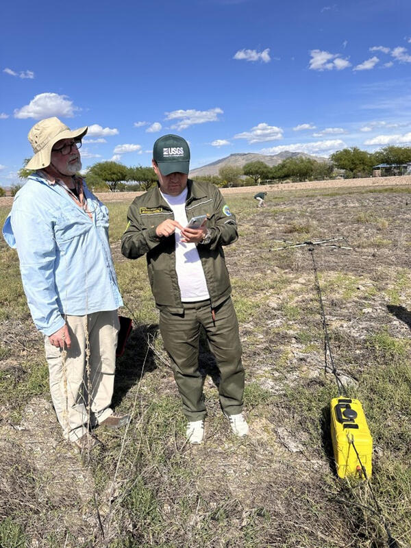
Eric White from the Hydrologic Remote Sensing Branch demonstrates a new subsurface geophysics tool in the field.
Eric A White
Eric A. White is a Hydrologist in the Hydrologic Remote Sensing Branch of the USGS Water Mission Area. Eric provides support to USGS hydrologists nationally on development and application of hydrogeophysical methods to groundwater studies, with a focus on surface, waterborne, and sUAS methods.
Science and Products
Field demonstration of subsurface geophysics tool
Eric White from the Hydrologic Remote Sensing Branch demonstrates a new subsurface geophysics tool in the field.
Field demonstration of subsurface geophysics tool
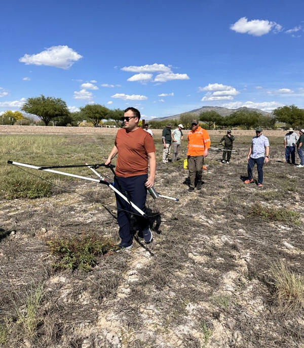
Eric White (Hydrologic Remote Sensing Branch, Water Resources Mission Area) leads a field demonstration of a new subsurface geophysics tool.
Eric White (Hydrologic Remote Sensing Branch, Water Resources Mission Area) leads a field demonstration of a new subsurface geophysics tool.
Science and Products
Field demonstration of subsurface geophysics tool
Eric White from the Hydrologic Remote Sensing Branch demonstrates a new subsurface geophysics tool in the field.
Eric White from the Hydrologic Remote Sensing Branch demonstrates a new subsurface geophysics tool in the field.
Field demonstration of subsurface geophysics tool
Eric White (Hydrologic Remote Sensing Branch, Water Resources Mission Area) leads a field demonstration of a new subsurface geophysics tool.
Eric White (Hydrologic Remote Sensing Branch, Water Resources Mission Area) leads a field demonstration of a new subsurface geophysics tool.