Webcam at USGS Streamgage 09050700 Blue River below Dillon, CO.
Visit Water Data For the Nation to get current data for this site.

Official websites use .gov
A .gov website belongs to an official government organization in the United States.
Secure .gov websites use HTTPS
A lock () or https:// means you’ve safely connected to the .gov website. Share sensitive information only on official, secure websites.
Mark is a Supervisory Physical Scientist with the USGS Colorado Water Science Center (COWSC), Western Colorado Office, in Grand Junction, CO.
Thanks for visiting my profile page. As a supervisory physical scientist with the COWSC, I oversee the center’s Network Integration and Science Innovation Team (I&I). The I&I team exists to support the science activities of the U.S. Geological Survey (USGS) by developing novel methods and techniques for measuring, telemetering, and processing data; designing, exploring, and evaluating new technology; and providing a robust and sustainable workflow for incorporating new procedures into science center programs nationwide. This work includes testing instrumentation, equipment, and methods in collaboration with the U.S. Geological Survey (USGS) Water Resources Mission Area’s (WMA) Hydrologic Instrumentation Facility (HIF), Incident response, other USGS mission areas, USGS water science centers, academic and industry experts to operationalize the use of these technologies with the USGS science portfolio.


Webcam at USGS Streamgage 09050700 Blue River below Dillon, CO.
Visit Water Data For the Nation to get current data for this site.
Webcam at USGS Streamgage 09050700 Blue River below Dillon, CO.
Visit Water Data For the Nation to get current data for this site.
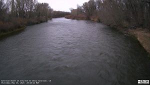
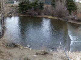
Webcam at USGS Streamgage 383103106594200 Gunnison River at County Road 32 below Gunnison, CO.
Visit Water Data For the Nation to get current data for this site.
Webcam at USGS Streamgage 383103106594200 Gunnison River at County Road 32 below Gunnison, CO.
Visit Water Data For the Nation to get current data for this site.

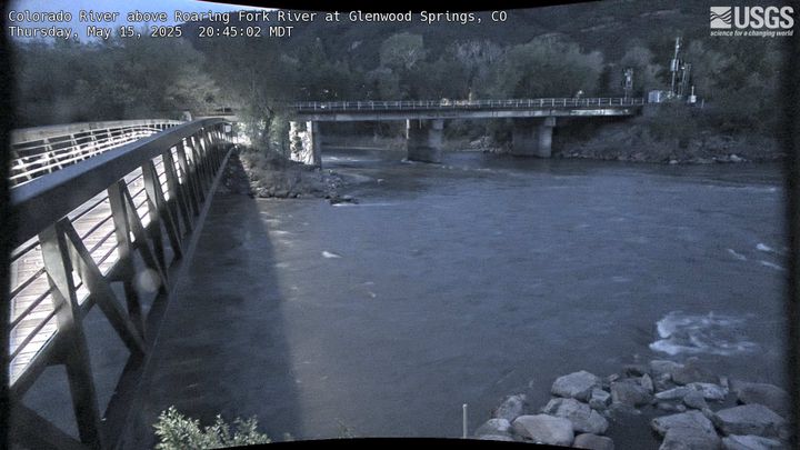
Webcam at USGS Streamgage 393259107194801 Colorado River above Roaring Fork River at Glenwood Springs, CO.
Webcam at USGS Streamgage 393259107194801 Colorado River above Roaring Fork River at Glenwood Springs, CO.
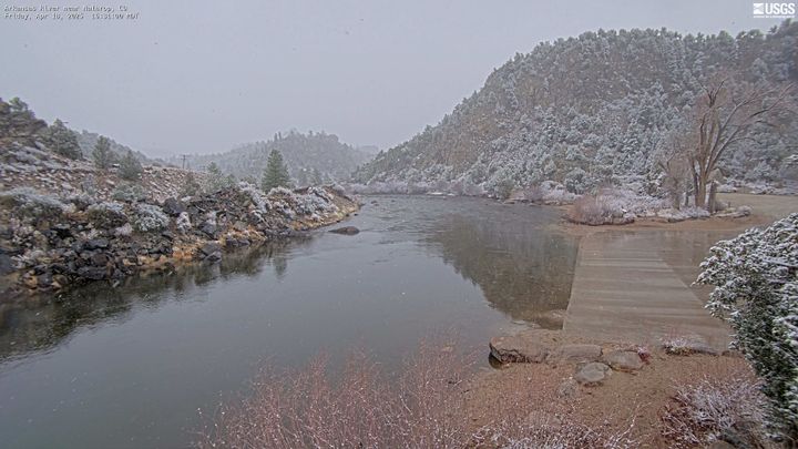
Webcam at USGS Streamgage 07091200 Arkansas River near Nathrop, CO.
Visit Water Data For the Nation to get current data for this site.
Webcam at USGS Streamgage 07091200 Arkansas River near Nathrop, CO.
Visit Water Data For the Nation to get current data for this site.
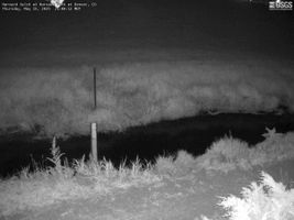
Webcam at USGS Streamgage 06711575 Harvard Gulch at Harvard Park at Denver, CO.
Visit Water Data For the Nation to get current data for this site.
Webcam at USGS Streamgage 06711575 Harvard Gulch at Harvard Park at Denver, CO.
Visit Water Data For the Nation to get current data for this site.
Webcam at USGS Streamgage 09085000 Roaring Fork River at Glenwood Springs, CO.
Visit Water Data For the Nation to get current data for this site.
Webcam at USGS Streamgage 09085000 Roaring Fork River at Glenwood Springs, CO.
Visit Water Data For the Nation to get current data for this site.
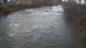
Yampa River at 5th Street Bridge in Steamboat Springs, CO (Upstream of 09239500)
Webcam upstream of USGS Streamgage 09239500 Yampa River at Steamboat Springs, CO.
Yampa River at 5th Street Bridge in Steamboat Springs, CO (Upstream of 09239500)
Webcam upstream of USGS Streamgage 09239500 Yampa River at Steamboat Springs, CO.
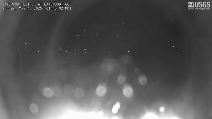
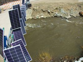
Webcam at Lakewood Test Site Denver Federal Center Bldg. 53.
Visit Water Data For the Nation to get current data for this site.
Webcam at Lakewood Test Site Denver Federal Center Bldg. 53.
Visit Water Data For the Nation to get current data for this site.
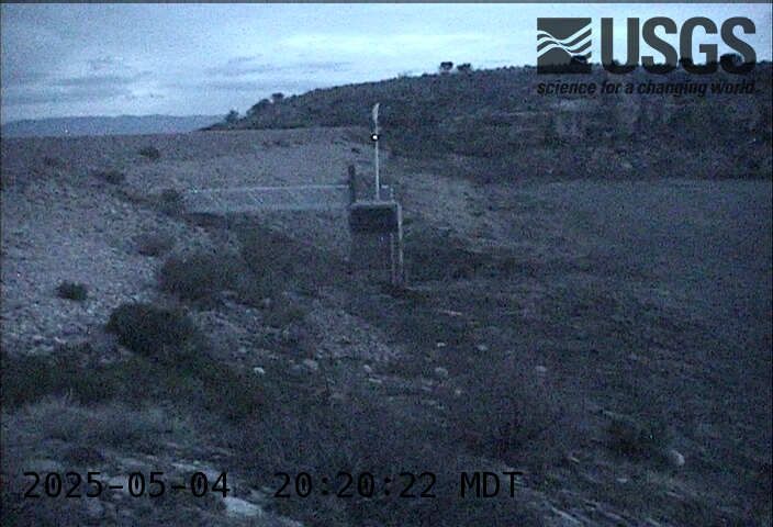
Webcam at USGS Streamgage 07099233 Teller Reservoir near Stone City, CO.
Visit Water Data For the Nation to get current data for this site.
Webcam at USGS Streamgage 07099233 Teller Reservoir near Stone City, CO.
Visit Water Data For the Nation to get current data for this site.
Webcam at USGS Streamgage 09019850 Willow Creek below Cabin Creek near Granby, CO
Visit Water Data For the Nation to get current data for this site.
Webcam at USGS Streamgage 09019850 Willow Creek below Cabin Creek near Granby, CO
Visit Water Data For the Nation to get current data for this site.
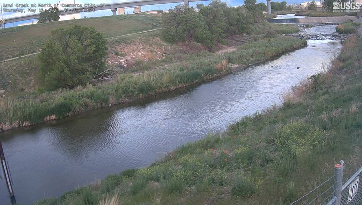
Webcam at USGS Streamgage 394839104570300 Sand Creek at Mouth near Commerce City, CO.
Visit Water Data For the Nation to get current data for this site.
Webcam at USGS Streamgage 394839104570300 Sand Creek at Mouth near Commerce City, CO.
Visit Water Data For the Nation to get current data for this site.
Webcam at USGS Streamgage 06719505 Clear Creek at Golden, CO.
Visit Water Data For the Nation to get current data for this site.
Webcam at USGS Streamgage 06719505 Clear Creek at Golden, CO.
Visit Water Data For the Nation to get current data for this site.

Webcam at USGS Streamgage 09071750 Colorado River above Glenwood Springs, CO.
Visit Water Data For the Nation to get current data for this site.
Webcam at USGS Streamgage 09071750 Colorado River above Glenwood Springs, CO.
Visit Water Data For the Nation to get current data for this site.

Webcam at USGS Streamgage 09095500 Colorado River near Cameo, CO.
Visit Water Data For the Nation to get current data for this site.
Webcam at USGS Streamgage 09095500 Colorado River near Cameo, CO.
Visit Water Data For the Nation to get current data for this site.

High floodwaters partially submerge a USGS streamgaging station in Slater Fork, CO.
High floodwaters partially submerge a USGS streamgaging station in Slater Fork, CO.

High floodwaters on the Elk River upstream of Routt County Road 42 near Milner, CO.
High floodwaters on the Elk River upstream of Routt County Road 42 near Milner, CO.

High floodwaters on the Elk River upstream of Routt County Road 42 near Milner, CO
High floodwaters on the Elk River upstream of Routt County Road 42 near Milner, CO

Floodwaters partially submerge a USGS streamgage station near Slater, CO.
Floodwaters partially submerge a USGS streamgage station near Slater, CO.

A roadway is broken down due to high streamflow near Slater, CO. A USGS streamgage can be seen next to the road.
A roadway is broken down due to high streamflow near Slater, CO. A USGS streamgage can be seen next to the road.
Webcam at USGS Streamgage 09050700 Blue River below Dillon, CO.
Visit Water Data For the Nation to get current data for this site.
Webcam at USGS Streamgage 09050700 Blue River below Dillon, CO.
Visit Water Data For the Nation to get current data for this site.
Webcam at USGS Streamgage 383103106594200 Gunnison River at County Road 32 below Gunnison, CO.
Visit Water Data For the Nation to get current data for this site.
Webcam at USGS Streamgage 383103106594200 Gunnison River at County Road 32 below Gunnison, CO.
Visit Water Data For the Nation to get current data for this site.
Webcam at USGS Streamgage 393259107194801 Colorado River above Roaring Fork River at Glenwood Springs, CO.
Webcam at USGS Streamgage 393259107194801 Colorado River above Roaring Fork River at Glenwood Springs, CO.
Webcam at USGS Streamgage 07091200 Arkansas River near Nathrop, CO.
Visit Water Data For the Nation to get current data for this site.
Webcam at USGS Streamgage 07091200 Arkansas River near Nathrop, CO.
Visit Water Data For the Nation to get current data for this site.
Webcam at USGS Streamgage 06711575 Harvard Gulch at Harvard Park at Denver, CO.
Visit Water Data For the Nation to get current data for this site.
Webcam at USGS Streamgage 06711575 Harvard Gulch at Harvard Park at Denver, CO.
Visit Water Data For the Nation to get current data for this site.
Webcam at USGS Streamgage 09085000 Roaring Fork River at Glenwood Springs, CO.
Visit Water Data For the Nation to get current data for this site.
Webcam at USGS Streamgage 09085000 Roaring Fork River at Glenwood Springs, CO.
Visit Water Data For the Nation to get current data for this site.
Yampa River at 5th Street Bridge in Steamboat Springs, CO (Upstream of 09239500)
Webcam upstream of USGS Streamgage 09239500 Yampa River at Steamboat Springs, CO.
Yampa River at 5th Street Bridge in Steamboat Springs, CO (Upstream of 09239500)
Webcam upstream of USGS Streamgage 09239500 Yampa River at Steamboat Springs, CO.
Webcam at Lakewood Test Site Denver Federal Center Bldg. 53.
Visit Water Data For the Nation to get current data for this site.
Webcam at Lakewood Test Site Denver Federal Center Bldg. 53.
Visit Water Data For the Nation to get current data for this site.
Webcam at USGS Streamgage 07099233 Teller Reservoir near Stone City, CO.
Visit Water Data For the Nation to get current data for this site.
Webcam at USGS Streamgage 07099233 Teller Reservoir near Stone City, CO.
Visit Water Data For the Nation to get current data for this site.
Webcam at USGS Streamgage 09019850 Willow Creek below Cabin Creek near Granby, CO
Visit Water Data For the Nation to get current data for this site.
Webcam at USGS Streamgage 09019850 Willow Creek below Cabin Creek near Granby, CO
Visit Water Data For the Nation to get current data for this site.
Webcam at USGS Streamgage 394839104570300 Sand Creek at Mouth near Commerce City, CO.
Visit Water Data For the Nation to get current data for this site.
Webcam at USGS Streamgage 394839104570300 Sand Creek at Mouth near Commerce City, CO.
Visit Water Data For the Nation to get current data for this site.
Webcam at USGS Streamgage 06719505 Clear Creek at Golden, CO.
Visit Water Data For the Nation to get current data for this site.
Webcam at USGS Streamgage 06719505 Clear Creek at Golden, CO.
Visit Water Data For the Nation to get current data for this site.
Webcam at USGS Streamgage 09071750 Colorado River above Glenwood Springs, CO.
Visit Water Data For the Nation to get current data for this site.
Webcam at USGS Streamgage 09071750 Colorado River above Glenwood Springs, CO.
Visit Water Data For the Nation to get current data for this site.
Webcam at USGS Streamgage 09095500 Colorado River near Cameo, CO.
Visit Water Data For the Nation to get current data for this site.
Webcam at USGS Streamgage 09095500 Colorado River near Cameo, CO.
Visit Water Data For the Nation to get current data for this site.
High floodwaters partially submerge a USGS streamgaging station in Slater Fork, CO.
High floodwaters partially submerge a USGS streamgaging station in Slater Fork, CO.
High floodwaters on the Elk River upstream of Routt County Road 42 near Milner, CO.
High floodwaters on the Elk River upstream of Routt County Road 42 near Milner, CO.
High floodwaters on the Elk River upstream of Routt County Road 42 near Milner, CO
High floodwaters on the Elk River upstream of Routt County Road 42 near Milner, CO
Floodwaters partially submerge a USGS streamgage station near Slater, CO.
Floodwaters partially submerge a USGS streamgage station near Slater, CO.
A roadway is broken down due to high streamflow near Slater, CO. A USGS streamgage can be seen next to the road.
A roadway is broken down due to high streamflow near Slater, CO. A USGS streamgage can be seen next to the road.