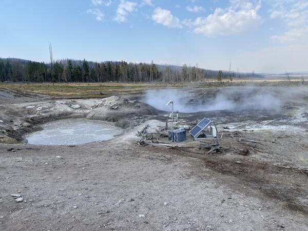
Images of an unnamed thermal feature in the Three River Junction thermal area in southwest Yellowstone National Park
Images of an unnamed thermal feature in the Three River Junction thermal area in southwest Yellowstone National ParkImages of an unnamed thermal feature in the Three River Junction thermal area in southwest Yellowstone National Park. A, WorldView-3 satellite image from September 2014. B, National Park Service (NPS) aerial photograph from 2017. Images A and B were acquired before the feature went largely dry in late 2019 or 2020. C, WorldView-3 satellite image from June 2020.