
Investigating the mineral potential of the Boulder batholith
July 8, 2025
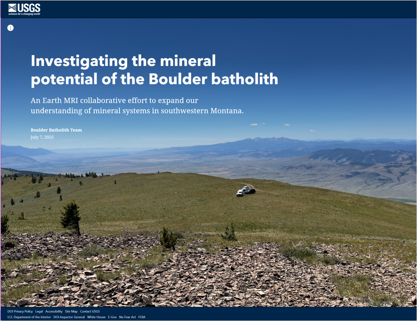
This tool is an interactive narrative that provides introductory information on the ongoing Earth Mapping Resources Initiative (Earth MRI) effort to understand the geologic framework of mineral deposits, both common and critical in southwestern Montana. In addition, it describes the methods used by U.S. Geological Survey scientists and our partners to collect airborne and ground geophysical data, perform geochronological and geochemical analyses, and conduct field mapping. This work is critical for better understanding the region's complex geology and discover new potential mineral deposits.
Media
Sources/Usage: Public Domain. View Media Details
Related

Porphyry Copper Systems of the Boulder batholith, Montana
The project seeks to better understand the mineral systems of the Boulder batholith and surrounding region in Montana using new airborne geophysical data in conjunction with geologic mapping.
Related
Porphyry Copper Systems of the Boulder batholith, Montana
The project seeks to better understand the mineral systems of the Boulder batholith and surrounding region in Montana using new airborne geophysical data in conjunction with geologic mapping.