An official website of the United States government
Here's how you know
Official websites use .gov
A .gov website belongs to an official government organization in the United States.
Secure .gov websites use HTTPS
A lock () or https:// means you’ve safely connected to the .gov website. Share sensitive information only on official, secure websites.
This image is from a research camera positioned on the north rim of Mokuʻāweoweo, the summit caldera of Mauna Loa volcano by the USGS Hawaiian Volcano Observatory. If you look carefully around early morning or late evening, you may see a few thermal areas emitting steam. See 'Current Activity' for the latest Mauna Loa information.
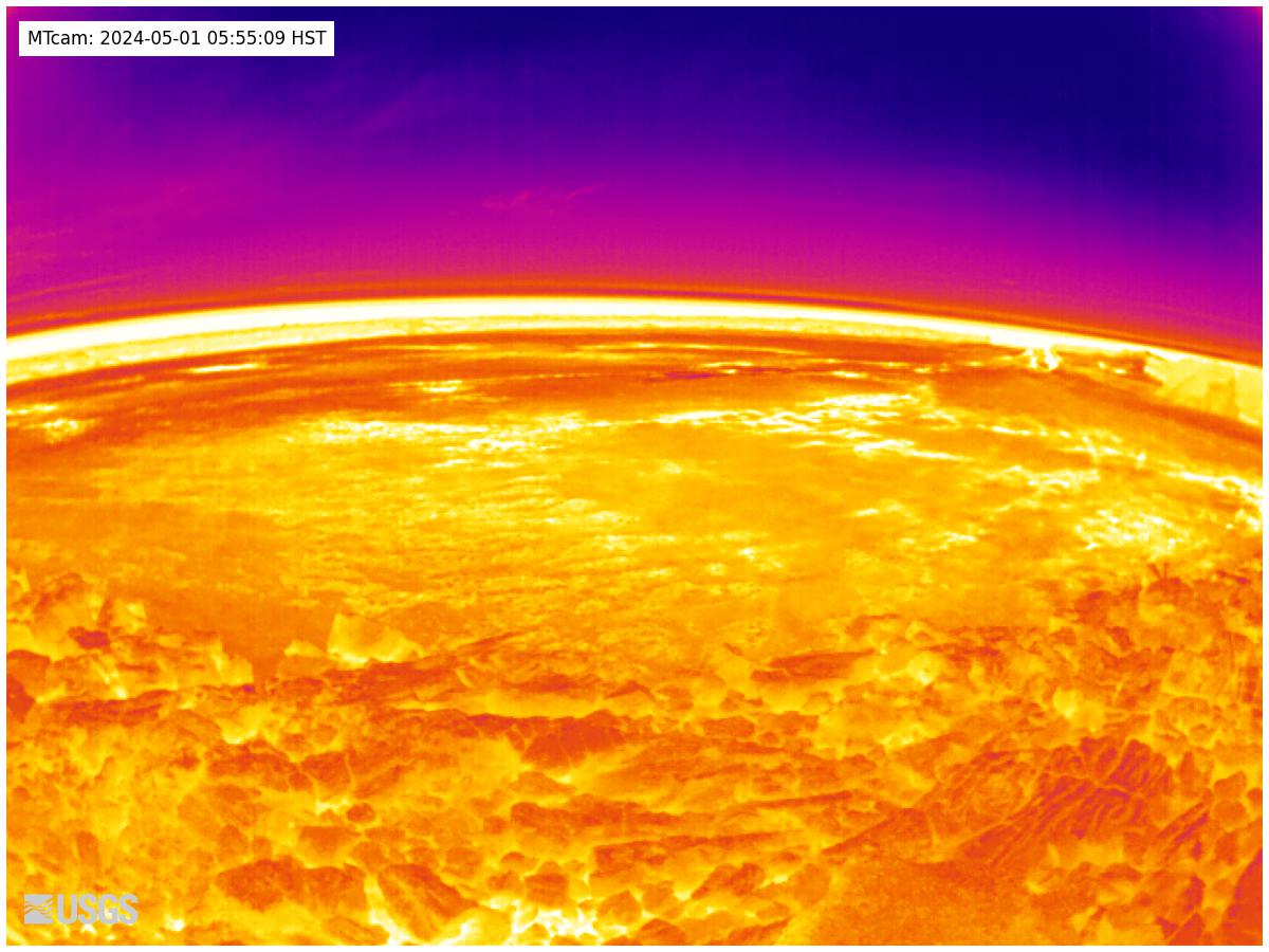
Live Image of Mauna Loa's Summit and Northeast Rift Zone from Mauna Kea [MK2cam].Disclaimer: The webcams are operational 24/7 and faithfully record the dark of night if there are no sources of incandescence or other lights. Thermal webcams record heat rather than light and get better views through volcanic gas. At times, clouds and rain obscure visibility. The cameras are subject to sporadic breakdown, and may not be repaired immediately. Some cameras are observing an area that is off-limits to the general public because of significant volcanic hazards.
Mauna Loa's Summit and Northeast Rift Zone [MKcam]
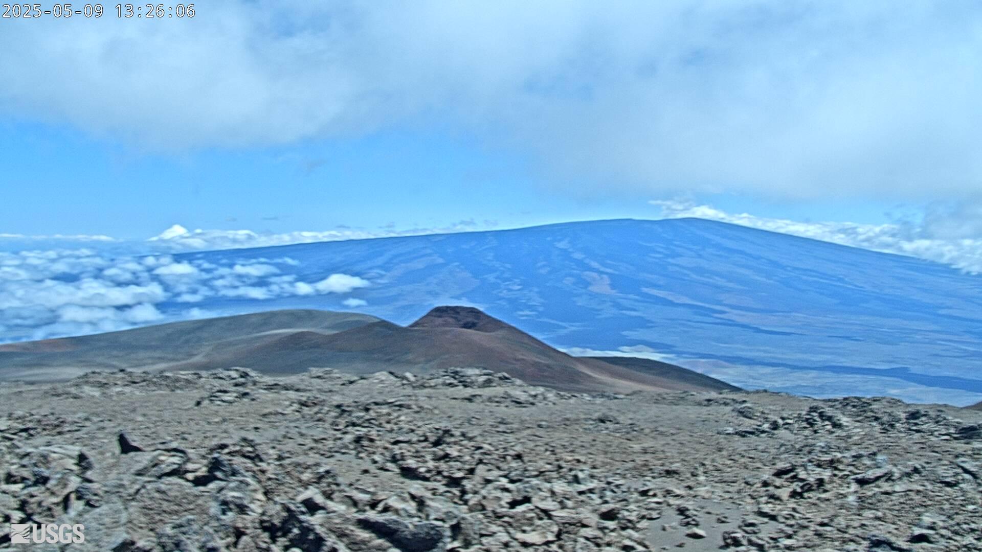
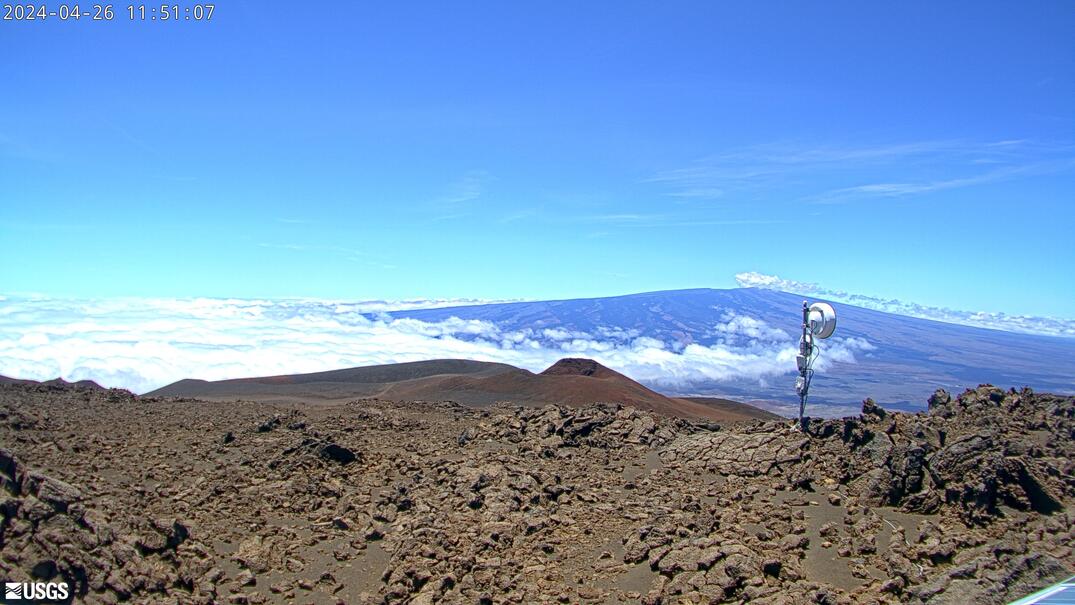
Live view of the northwest flank of Mauna Loa; the view is from the southeast flank of Hualālai [HLcam].Disclaimer: The webcams are operational 24/7 and faithfully record the dark of night if there are no sources of incandescence or other lights. Thermal webcams record heat rather than light and get better views through volcanic gas. At times, clouds and rain obscure visibility. The cameras are subject to sporadic breakdown, and may not be repaired immediately. Some cameras are observing an area that is off-limits to the general public because of significant volcanic hazards.
Southwest Rift Zone
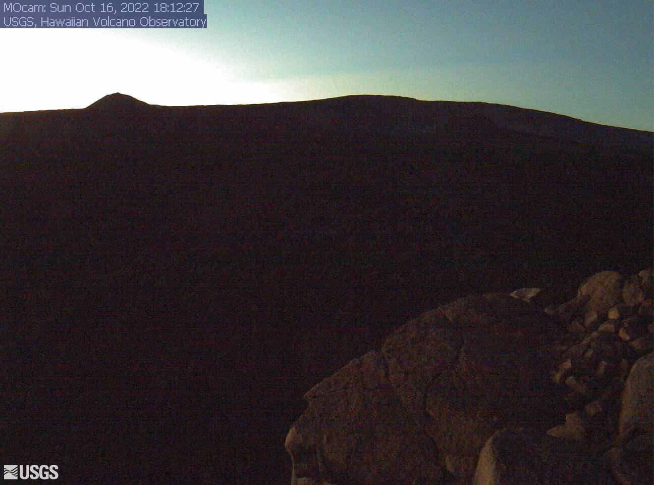
View of Mokuʻāweoweo Caldera from South Rim [MOcam]
This image is from a research camera positioned on the south rim of Mokuʻāweoweo, Mauna Loa's summit caldera, in Hawaiʻi Volcanoes National Park. The camera looks north, focusing on the southern part of the caldera. The 1940 cone is just right of center; the 1949 cone is on the caldera rim at left. The high point of Mauna Loa's summit is in the background.
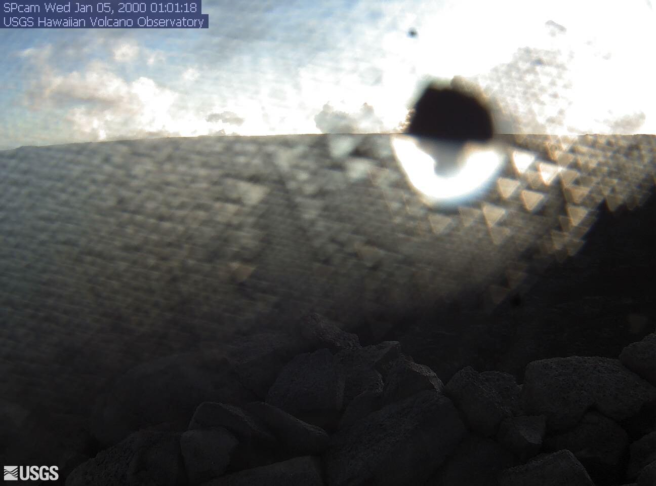
View from South Rim of Mokuʻāweoweo Caldera, across South Pit [SPcam]
This image is from a research camera positioned on the south rim of Mokuʻāweoweo, Mauna Loa's summit caldera, in Hawaiʻi Volcanoes National Park. The camera looks west-southwest, across South Pit, focusing on the south part of Mauna Loa's summit region and upper Southwest Rift Zone.
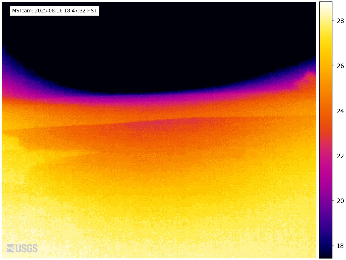
View from South Rim of Mokuʻāweoweo Caldera, across South Pit [MSTcam]
This image is from a research camera positioned on the south rim of Mokuʻāweoweo, Mauna Loa's summit caldera, in Hawaiʻi Volcanoes National Park. The camera looks west-southwest, across South Pit, focusing on the south part of Mauna Loa's summit region and upper Southwest Rift Zone. This image is from a thermal camera, which records in Centigrade, conversions to Fahrenheit are provided here for your convenience: 20°C=68°F, 40°C=104°F, 60°C=140°F, 80°C=176°F.
Distal view of Mauna Loa's Southwest Rift Zone [MSPcam]
Live image of Mauna Loa's Southwest Rift Zone from the South Point area [MSPcam]. This camera is a pan-tilt-zoom model and the view may change depending on activity.
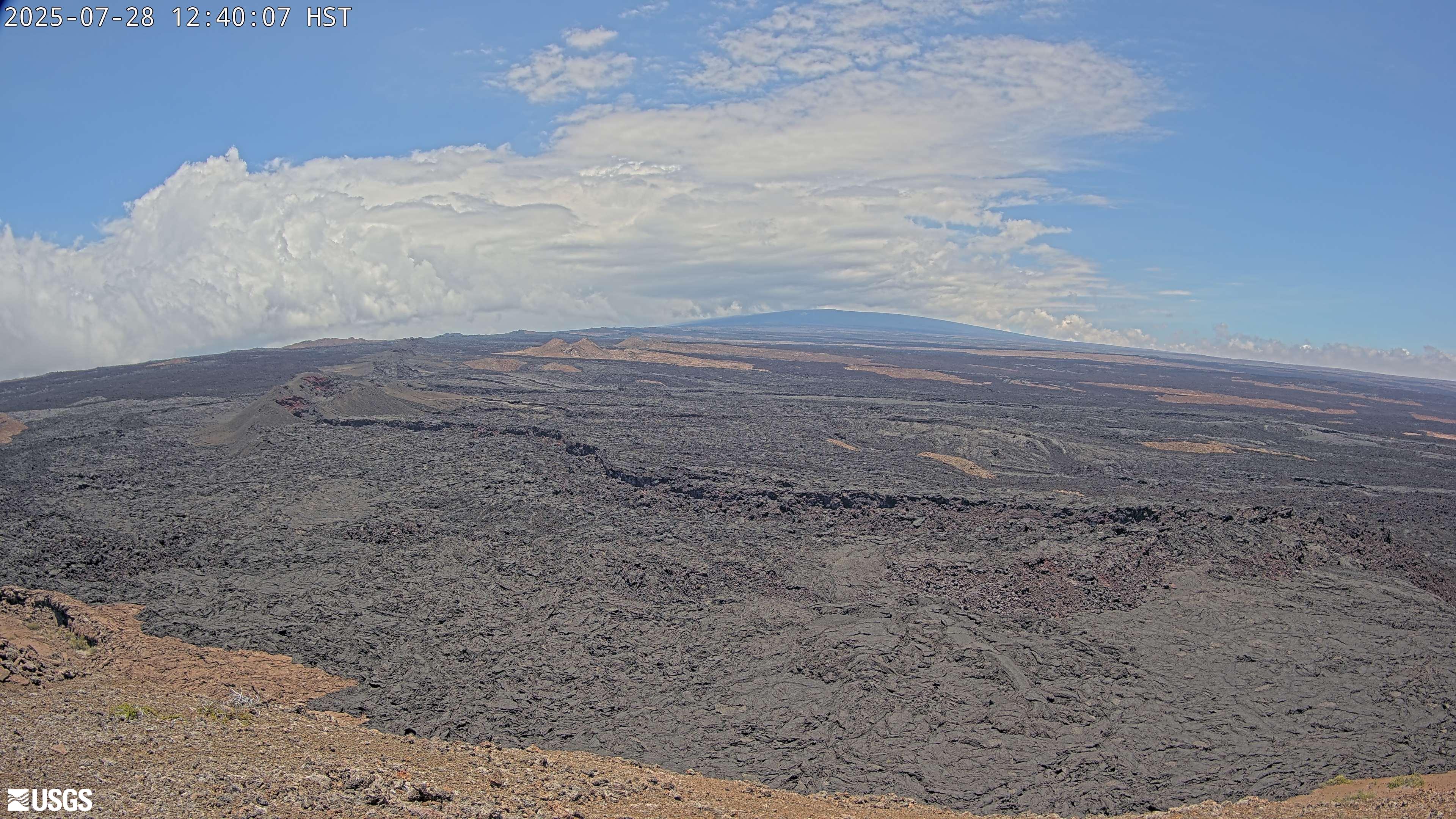
The Middle Part of Mauna Loa's Southwest Rift Zone [M2cam]
This image is from a research camera positioned on a cone in Mauna Loa's Southwest Rift Zone in Hawaiʻi Volcanoes National Park. The camera looks northeast (upslope), focusing on the middle part of the Southwest Rift Zone. The volcano's summit is at upper right.
The Upper and Middle Parts of Mauna Loa's Southwest Rift Zone [MDLcam]
Live image of Mauna Loa's upper and middle Southwest Rift Zone from Dandelion Cone along the middle part of the rift zone [MDLcam]. This camera is a pan-tilt-zoom model and the view may change depending on activity.
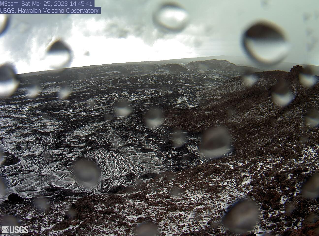
The Upper Part of Mauna Loa's Southwest Rift Zone [M3cam]
This image is from a research camera positioned on a cone in Mauna Loa's Southwest Rift Zone in Hawaiʻi Volcanoes National Park. The camera looks northeast (upslope), focusing on the upper part of the Southwest Rift Zone. The upper flank of Mauna Loa forms the skyline.
Disclaimer
The webcams are operational 24/7 and faithfully record the dark of night if there are no sources of incandescence or other lights. Thermal webcams record heat rather than light and get better views through volcanic gas. At times, clouds and rain obscure visibility. The cameras are subject to sporadic breakdown, and may not be repaired immediately. Some cameras are observing an area that is off-limits to the general public because of significant volcanic hazards.