



WaterMarks Newsletter - Summer 2026
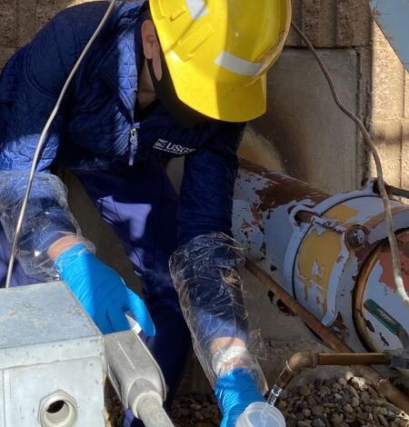
USGS Investigates PFAS in Groundwater Near New Hampshire Superfund Site
The U.S. Geological Survey (USGS) and the U.S. Environmental Protection Agency (EPA) investigated the movement of groundwater around the Coakley Landfill Superfund Site in southeastern New Hampshire after high concentrations of per-and polyfluorinated alkyl substances (PFAS) were found in areas where residents use wells for drinking water.
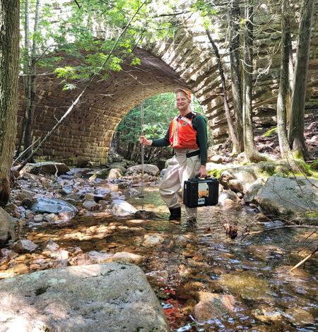
Acadia National Park Stream Crossings Assessed for Erosion Potential, Flood Vulnerability
Acadia National Park has had stronger and more frequent precipitation events in recent years, leading to a rise in high, infrastructure-damaging streamflows (flood flows), stream erosion, and costly impairments to historic carriage roads and trails.
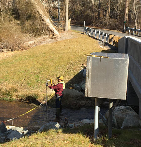
Low Streamflows in Massachusetts Affected by Climate and Human Activity
The U.S. Geological Survey (USGS) investigated possible reasons for why Massachusetts has set record low streamflows recently even though climate conditions have been generally wetter than they were decades ago. They found that the low streamflows in the state are most influenced by a combination of human causes, such as population growth, and minimal precipitation during summer months.
USGS Predicts PFAS in Shallow Soils Throughout Northern New England and Identifies Possible Groundwater Risks
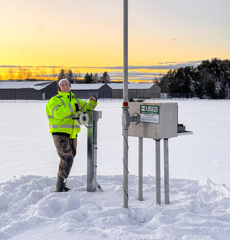
USGS Investigates Groundwater Drought Metrics Across the United States
In a pioneering study led by the U.S. Geological Survey (USGS), researchers analyzed groundwater levels across the conterminous United States to see how certain drought metrics, like severity and duration, change over time.
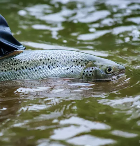
Thermal Imaging to Detect Cold-Water Habitat for Atlantic Salmon and Brook Trout at Katahdin Woods and Waters National Monument
The U.S. Geological Survey (USGS), in cooperation with the National Park Service (NPS), is using airborne thermal infrared remote sensing to characterize cold-water habitat for the federally designated endangered species Atlantic salmon (Salmo salar) and wild brook trout (Salvelinus fontinalis) in the East Branch of the Penobscot River system within Katahdin Woods and Waters National Monument (the...
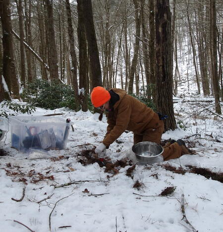
Statewide Studies of PFAS in Connecticut
The U.S. Geological Survey (USGS) New England Water Science Center, in cooperation with the Connecticut Department of Economic and Community Development (CT DECD) and the Connecticut Department of Energy and Environmental Protection (CT DEEP), is investigating the occurrence of per- and polyfluoroalkyl substances (PFAS) in soils and shallow groundwater across the state of Connecticut. The studies...
Related Information
-

New England WSC Products in the Second Quarter of 2026 New England WSC Products in the Second Quarter of 2026
List of products from the New England Water Science Center released in the second quarter of 2026.