2024 in Review: EROS Celebrates Annual NLCD, Landsat 7's 25-Year Mission
As 2024 comes to a close, we reflect on some key achievements and experiences this year at the U.S. Geological Survey Earth Resources Observation and Science (EROS) Center. From science advancements to Landsat satellite developments and more, we celebrated some big news!
Annual NLCD: A Land Cover Reinvention
This was a landmark year for the definitive land cover resource for the United States that’s produced at EROS: the National Land Cover Database (NLCD). The renamed Annual NLCD data release on October 24, 2024, debuted a new ability to look at land cover and land change year by year further back in time, from 1985 to 2023.
Landsat satellites continue to provide the foundational data for Annual NLCD, which includes six products. Work is underway to add 2024 data to Annual NLCD in 2025. Data access has expanded to the commercial cloud and the USGS website EarthExplorer.
More about Annual NLCD
Listen to Eyes on Earth podcast
USGS Reinvents Widely Used NLCD
Visit the website
LANDFIRE: Still Improving after 20 Years
The LANDFIRE (Landscape Fire and Resource Management Planning Tools) program celebrated a big milestone in 2024—its 20th anniversary of working to provide valuable national landscape data on vegetation, wildland fuel and fire regimes.
But the biggest news for the interagency program hosted at EROS was releasing its first truly annual update, LANDFIRE 2023 Update, and debuting a remarkably early preview of land disturbances, for most of 2023 at the end of January 2024.
Faster Pace, New Disturbance Products
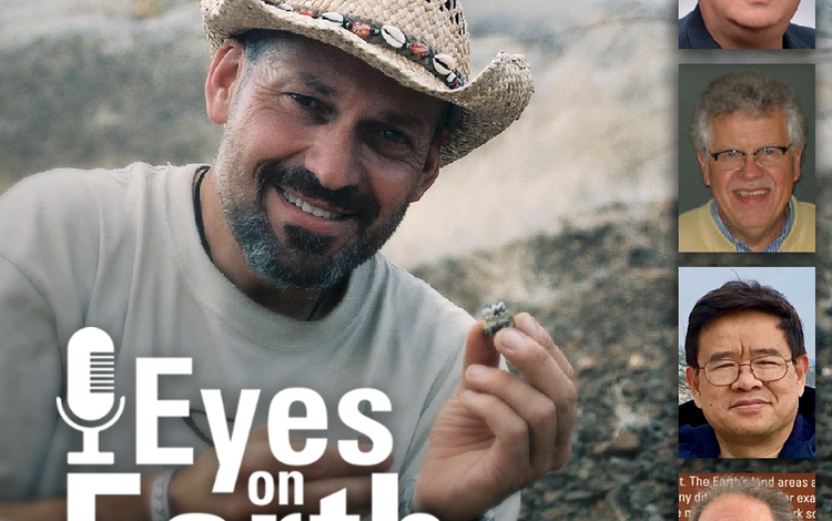
Podcast on LANDFIRE at 20
LANDFIRE Celebrates 20 Years of Data
Science Stories
Ocean Depth and Landsat
As a way to potentially fill gaps in mapping bathymetry, or water depth, EROS scientists developed a new method using Landsat data.
Read the full story here.
BACKGROUND IMAGE: In this U.S. Navy photo, a Navy submarine tender enters Apra Harbor on the west side of Guam. Guam is one of the locations where the new Landsat method to measure coastal depth was tested.

RCMAP and Habitat
The Rangeland Condition Monitoring Assessment and Projection (RCMAP) team has improved their detailing of land cover across the West.
More about RCMAP's latest improvements.

Algal Blooms and Landsat
EROS plays a role in the new USGS science vision for studying harmful algal blooms, which includes using Landsat to help identify them.
Full story here.

Landsat at the Poles
An article in Eos magazine this year spotlighted Landsat 8 and 9's efforts to systematically acquire twilight and nighttime imagery in the polar regions.
Read the story here or listen to the podcast.
Visit the Landsat year-end story to learn more about the achievements of the program in the past year.

Sharing Our Science


EROS is always communicating about its latest innovations and improvements in science. Here are some key ways that happened in 2024:
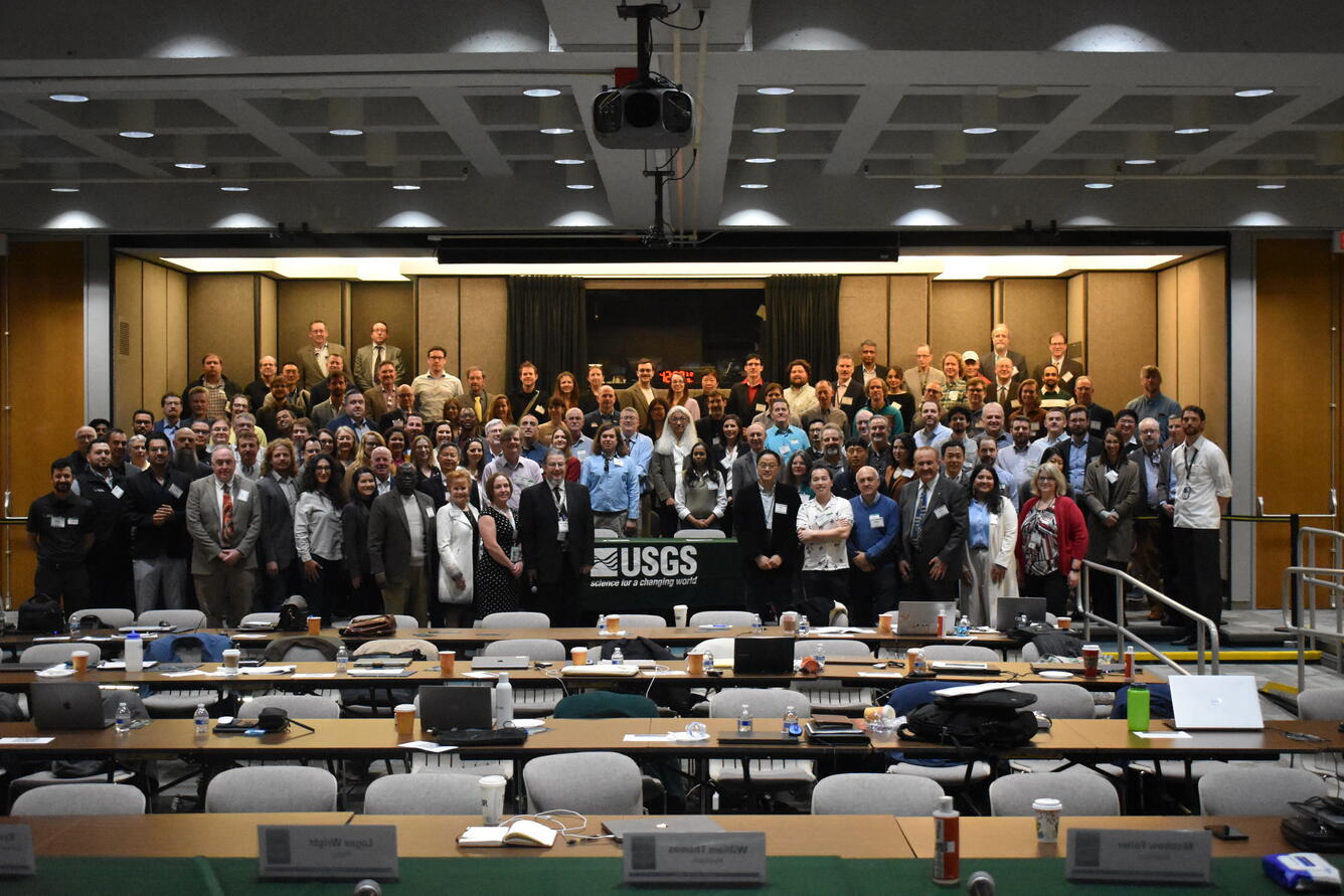
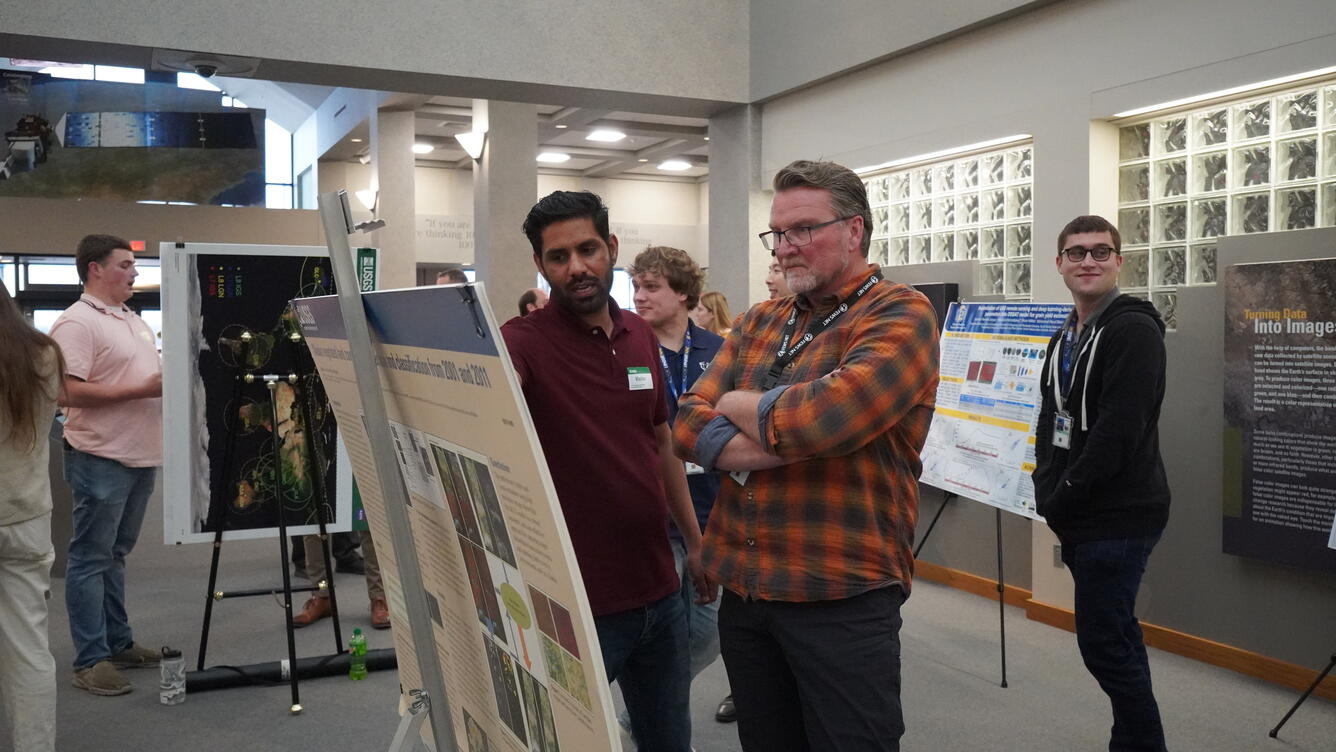
- Scientists traveled to multiple workshops, including Geo Week, JACIE and the annual meeting of the American Geophysical Union (AGU). In addition to presenting posters and talks, several of them earned awards for their work. See slideshow at left.
- More than 100 EROS authors published 28 journal articles, 15 technical reports, 25 conference abstracts or posters and 55 data releases. Click below to learn more about a few highlighted topics.
- Scientists from around the world use EROS data and science in their own research. Read stories spotlighting those studies below.
Publications and Data Releases
Tree Cover State and Condition
Hydrologic Dynamics in Africa
Early Estimates of Exotic Annual Grass
Researchers Use EROS Data
Landsat Archive Fills in Tundra Fire Gaps
Leveraging Landsat to Map Utah Fires
New National Heat Index Uses USGS Data
Landsat Shows Its Value, Looks Toward Future

Landsat’s claim to fame is its 50-plus-year history of Earth observation—and Landsat 7 was active for half of that time. In 2024 as Landsat 7 reached the end of its mission, EROS remembered the milestones during its lifespan.
We also celebrated the outstanding annual value Landsat provides for the United States (\$25.6 billion!) and leaned into the satellite mission’s future with Landsat Next.
To scroll through our Landsat highlights for 2024, use the < and > arrows below.
Annual Landsat Value to Economy: $25.6B
A new report revealed the rising value of Landsat Earth observation data to the world, estimated at \$25.6 billion. In addition, the report estimated the value of Landsat Next’s capabilities to be \$33 billion.
Norwegian Ambassador Visits EROS
EROS hosted a visit from Anniken Ramberg Krutnes, the Norwegian ambassador to the United States, in early June. She learned about the Landsat archive, which includes data downlinked to Svalbard’s ground station and transmitted to EROS.
Landsat 7 Completes Its Mission
Landsat 7 contributed a lot to EROS, and EROS staff contributed a lot to its mission. As 2024 marked the end of that mission, we gathered reflections about Landsat 7, along with a significant obstacle that threatened to derail its usefulness.
Communicating with the World


EROS welcomed visitors from abroad as well as student researchers, interns and schoolkids this year—and even classic Dodge automobiles!
New for 2024 is a six-screen interactive display in front of Computer Room 2, where our high-performance computers are located. Visitors can take a deep dive into the sophisticated world of data at EROS (but in a user-friendly way).
Also new: The EROS Media Gallery now can be searched by spinning the globe and picking a location. Readers can find our updated State Mosaics, Image of the Week gallery, Earthshots, Earth as Art and other favorites via keyword, too.
Read on for a review of what’s new in our imagery and videos, educational Earthshots and insightful podcasts.
Vibrant Videos and A Relaxing Soundtrack
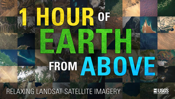
We don’t mind bragging—our Image of the Week videos are beautiful to watch!
But our 2024 additions also reveal real benefits of Landsat imagery and data, from new dams being filled to old dams being destroyed, from drought in Mexico to ice routes in Finland.
Don’t start clicking on the links below at bedtime—they’re endlessly fascinating! On the other hand, for a beautiful, restful sleep, try our new hourlong video featuring Landsat imagery and peaceful music.
")
")
")
")

")


Earthshots Refresh

Earthshots allows you to explore more than 100 unique locations around the world where satellites reveal land change.
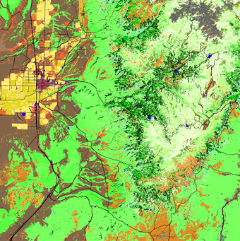
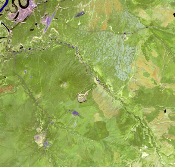
In 2024, we updated several Earthshots locations with new imagery, including the Batagaika Crater. The Batagaika Crater is a widening chasm in Siberia and the world’s largest permafrost crater.
Multiple satellites have recorded the crater’s growth, from declassified satellite imagery collected in the 1960s to current multispectral sensor images from Landsat and Europe’s Copernicus Sentinel-2 satellite, to build a continuous view over the last 60 years. Try our slider at right to see the crater (in the center) grow from a tadpole in 1991 to a stingray in 2024.
Click below to find more fascinating topics.
Petermann Glacier, Greenland
Tulare Lake Basin
Lake Powell

Top Eyes on Earth Podcasts for 2024
Eyes on Earth is a podcast on remote sensing, Earth observation, land change and science. Our episodes in 2024 looked at Landsat’s past, its future, and how scientists apply the vast archive.
Scroll across the images above or below to listen to some of our favorites. Here are some highlights:
127: The Historic Landsat 7 Mission. We talked with some of the people who helped keep Landsat 7 flying during its nearly 25 years of land imaging.
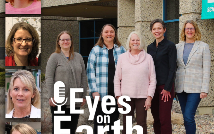
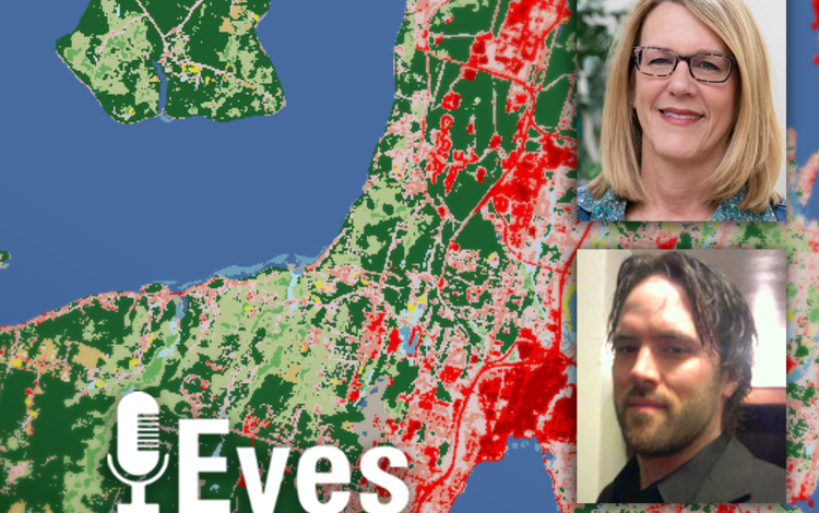
126: Annual NLCD. This new release includes land cover data of the United States for every year back to 1985.
117: Preparing for Landsat Next, Part 1. Several people involved with the next Landsat mission talk about the details.
114: The Color of Water with Landsat. An old data technique in freshwater science—physically sampling lake water—becomes reinvented using satellite technology.