
Quaternary Hydroclimate Records of Spring Ecosystems
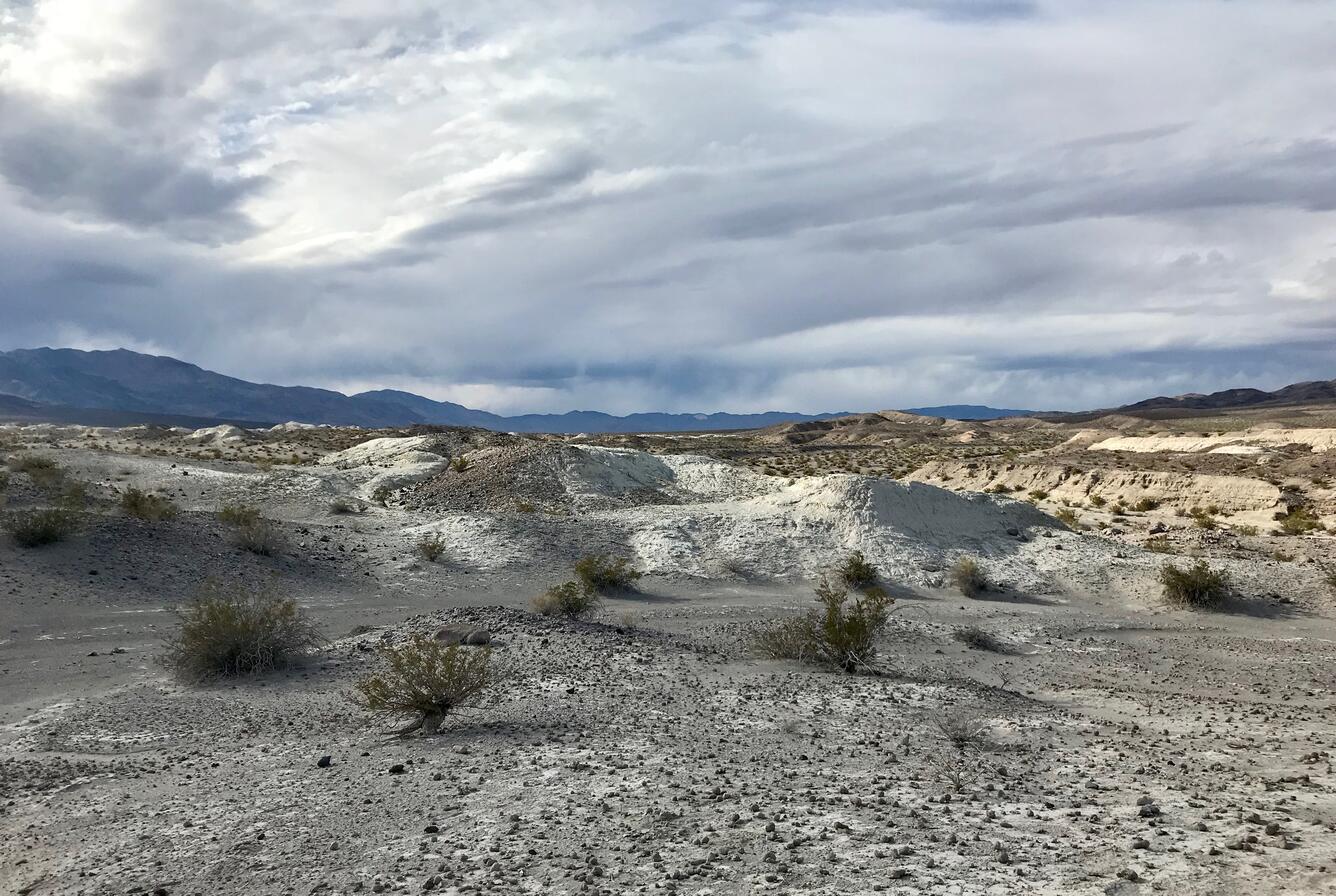
Desert springs and wetlands are among the most biologically productive, diverse, and fragile ecosystems on Earth. They are home to thousands of rare, endemic, and endangered plants and animals and reflect the availability and health of emergent groundwater. Despite the ecological importance of these wetlands, our knowledge of how they might respond to future environmental conditions is limited. This project seeks to understand how springs and wetlands in the Mojave Desert responded to past abrupt warming events, which may be analogs for the future. To accomplish this, USGS scientists will reconstruct the hydrologic history of ancient spring ecosystems and establish patterns and rates of change in groundwater availability by investigating paleowetland deposits dating to the latest Pleistocene and Holocene. The results will provide critical information for developing strategies aimed at managing these fragile ecosystems in the arid lands of the American Southwest.
Why this Research is Important
Desert springs and wetlands provide windows into the health of aquifers and groundwater-fed ecosystems in arid environments. They are exceptionally sensitive to environmental stressors and can act as harbingers for future conditions, but only if we quantitatively understand how they responded to abrupt climate events in the past. This study will establish the first regional-scale, multi-proxy hydroclimate record for the Mojave Desert that spans the time interval from the latest Pleistocene to Holocene and historical times (approximately the past 15,000 years). The results will provide critical input for federal, state, and local resource managers and other stakeholders for developing strategies aimed at protecting spring ecosystems. In addition, the results will provide robust, ground-truthed data that can be used to test climate models and improve constraints on regional projections.
Objective(s)
The primary objective of this project is to understand how spring ecosystems responded to subtle and short-lived episodes of abrupt climate change during the recent geologic past. To accomplish this, we will document the response of desert spring ecosystems to climate variability and land-use changes during the late Quaternary. The resulting data will be synthesized to create the first regional-scale hydroclimate record for the southwestern U.S. that spans this time period. These efforts will contribute to the USGS national-scale effort to quantify Holocene hydroclimate conditions and provide critical context to inform current and future management and conservation of extant desert springs and wetlands.
Methods
We will reconstruct past hydroclimate conditions at multiple locations throughout the Mojave Desert by taking a novel approach that combines investigations of paleowetland deposits exposed in geological outcrops and sediment cores taken near active springs. The opportunity to combine these methodologies at sites that are in geographic proximity to one another is rare and will result in more complete and detailed high-resolution hydroclimate records than what could be obtained from either method alone. Sediments exposed in outcrops and in the cores will be described and measured, sampled for geophysical (grain size, density, magnetic susceptibility), geochemical (major and trace elements, stable isotopes), and biological (ostracodes, diatoms, and gastropods) analyses, and dated using a combination of radiocarbon, luminescence, and tephrochronologic techniques. The proxy data will be combined on common temporal scales and compared to existing high-resolution paleowetland records elsewhere in the region, as well as other sources of past climate information such as ice cores, lakes, speleothems, and marine records, to improve our understanding of ecosystem response to abrupt warming events.

Below are other science projects associated with this project.

Past Perspectives of Water in the West

Drivers and Impacts of North Pacific Climate Variability

Pacific Ocean Patterns, Processes, and Productivity (POP3): Impacts of ancient warming on marine ecosystems and western North America

Natural Drought and Flood Histories from Lacustrine Archives
Desert springs and wetlands are among the most biologically productive, diverse, and fragile ecosystems on Earth. They are home to thousands of rare, endemic, and endangered plants and animals and reflect the availability and health of emergent groundwater. Despite the ecological importance of these wetlands, our knowledge of how they might respond to future environmental conditions is limited. This project seeks to understand how springs and wetlands in the Mojave Desert responded to past abrupt warming events, which may be analogs for the future. To accomplish this, USGS scientists will reconstruct the hydrologic history of ancient spring ecosystems and establish patterns and rates of change in groundwater availability by investigating paleowetland deposits dating to the latest Pleistocene and Holocene. The results will provide critical information for developing strategies aimed at managing these fragile ecosystems in the arid lands of the American Southwest.
Why this Research is Important
Desert springs and wetlands provide windows into the health of aquifers and groundwater-fed ecosystems in arid environments. They are exceptionally sensitive to environmental stressors and can act as harbingers for future conditions, but only if we quantitatively understand how they responded to abrupt climate events in the past. This study will establish the first regional-scale, multi-proxy hydroclimate record for the Mojave Desert that spans the time interval from the latest Pleistocene to Holocene and historical times (approximately the past 15,000 years). The results will provide critical input for federal, state, and local resource managers and other stakeholders for developing strategies aimed at protecting spring ecosystems. In addition, the results will provide robust, ground-truthed data that can be used to test climate models and improve constraints on regional projections.
Objective(s)
The primary objective of this project is to understand how spring ecosystems responded to subtle and short-lived episodes of abrupt climate change during the recent geologic past. To accomplish this, we will document the response of desert spring ecosystems to climate variability and land-use changes during the late Quaternary. The resulting data will be synthesized to create the first regional-scale hydroclimate record for the southwestern U.S. that spans this time period. These efforts will contribute to the USGS national-scale effort to quantify Holocene hydroclimate conditions and provide critical context to inform current and future management and conservation of extant desert springs and wetlands.
Methods
We will reconstruct past hydroclimate conditions at multiple locations throughout the Mojave Desert by taking a novel approach that combines investigations of paleowetland deposits exposed in geological outcrops and sediment cores taken near active springs. The opportunity to combine these methodologies at sites that are in geographic proximity to one another is rare and will result in more complete and detailed high-resolution hydroclimate records than what could be obtained from either method alone. Sediments exposed in outcrops and in the cores will be described and measured, sampled for geophysical (grain size, density, magnetic susceptibility), geochemical (major and trace elements, stable isotopes), and biological (ostracodes, diatoms, and gastropods) analyses, and dated using a combination of radiocarbon, luminescence, and tephrochronologic techniques. The proxy data will be combined on common temporal scales and compared to existing high-resolution paleowetland records elsewhere in the region, as well as other sources of past climate information such as ice cores, lakes, speleothems, and marine records, to improve our understanding of ecosystem response to abrupt warming events.
Below are other science projects associated with this project.
Past Perspectives of Water in the West
Drivers and Impacts of North Pacific Climate Variability
Pacific Ocean Patterns, Processes, and Productivity (POP3): Impacts of ancient warming on marine ecosystems and western North America