
The USGS installs a sensor to monitor groundwater levels in real time at a well located at the City University of New York, York College campus.
Multimedia
Images

Groundwater-monitoring well
The USGS installs a sensor to monitor groundwater levels in real time at a well located at the City University of New York, York College campus.

Groundwater-monitoring well
The USGS installs a sensor to monitor groundwater levels in real time at a well located at the City University of New York, York College campus.
The USGS installs a sensor to monitor groundwater levels in real time at a well located at the City University of New York, York College campus.

Andrew Kowalczk entering the Oneida River to conduct annual servicing to an Index Velocity gage
linkAndrew Kowalczk, a NYWSC scientific diver, entering the Oneida River to conduct annual servicing to an Index Velocity gage. The NYWSC divers service various gages across the state to ensure data collected is as accurate as possible for the cooperators and public.
Fall 2023 Photo Contest Winner: Zachary Heck, People category

Native American Research Assistantship Participant Electa Hare-RedCorn
Electa Hare-RedCorn is a member of the Pawnee Nation of Oklahoma and a descendant of the Ihanktonwan Dakota tribal communities. She was participant in the Native American Research Assistantship program in 2023 with mentors from the New York Water Science Center and New England Water Science Center.
Electa Hare-RedCorn is a member of the Pawnee Nation of Oklahoma and a descendant of the Ihanktonwan Dakota tribal communities. She was participant in the Native American Research Assistantship program in 2023 with mentors from the New York Water Science Center and New England Water Science Center.

Native American Research Assistantship Participant Learns from USGS Staff
Electa Hare-RedCorn was a participant in the Native American Research Assistantship program in 2023. She was mentored by USGS staff at the New England and New York Water Science Centers.
Electa Hare-RedCorn was a participant in the Native American Research Assistantship program in 2023. She was mentored by USGS staff at the New England and New York Water Science Centers.
Videos

Hudson River Spatial Mapping Trip
This is a video recording taken during a spatial mapping boat trip of about 50 miles on the Hudson River from New Hamburg to Yonkers, NY, passing through the Hudson Highlands, West Point, and the Tappan Zee.
This is a video recording taken during a spatial mapping boat trip of about 50 miles on the Hudson River from New Hamburg to Yonkers, NY, passing through the Hudson Highlands, West Point, and the Tappan Zee.

USGS Studies Harmful Algal Blooms in New York
USGS scientists are studying water-quality conditions and harmful algal blooms—known as HABs—in Owasco, Seneca and Skaneateles lakes in New York. The USGS monitoring effort will provide a better understanding of HAB growth and severity and allow for near instantaneous detection of changing water-quality conditions that might be indicative of HAB development.
USGS scientists are studying water-quality conditions and harmful algal blooms—known as HABs—in Owasco, Seneca and Skaneateles lakes in New York. The USGS monitoring effort will provide a better understanding of HAB growth and severity and allow for near instantaneous detection of changing water-quality conditions that might be indicative of HAB development.
Webcams
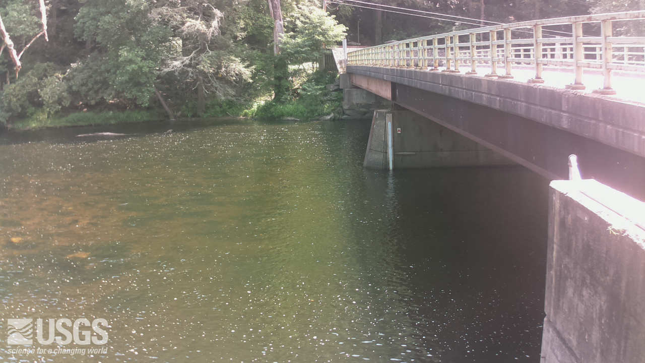
Streamgage 01437500 Neversink River at Godeffroy, NY
Webcam at USGS Streamgage 01437500 Neversink River at Godeffroy, NY.
Visit Water Data For the Nation to get current data for this site.
Webcam at USGS Streamgage 01437500 Neversink River at Godeffroy, NY.
Visit Water Data For the Nation to get current data for this site.
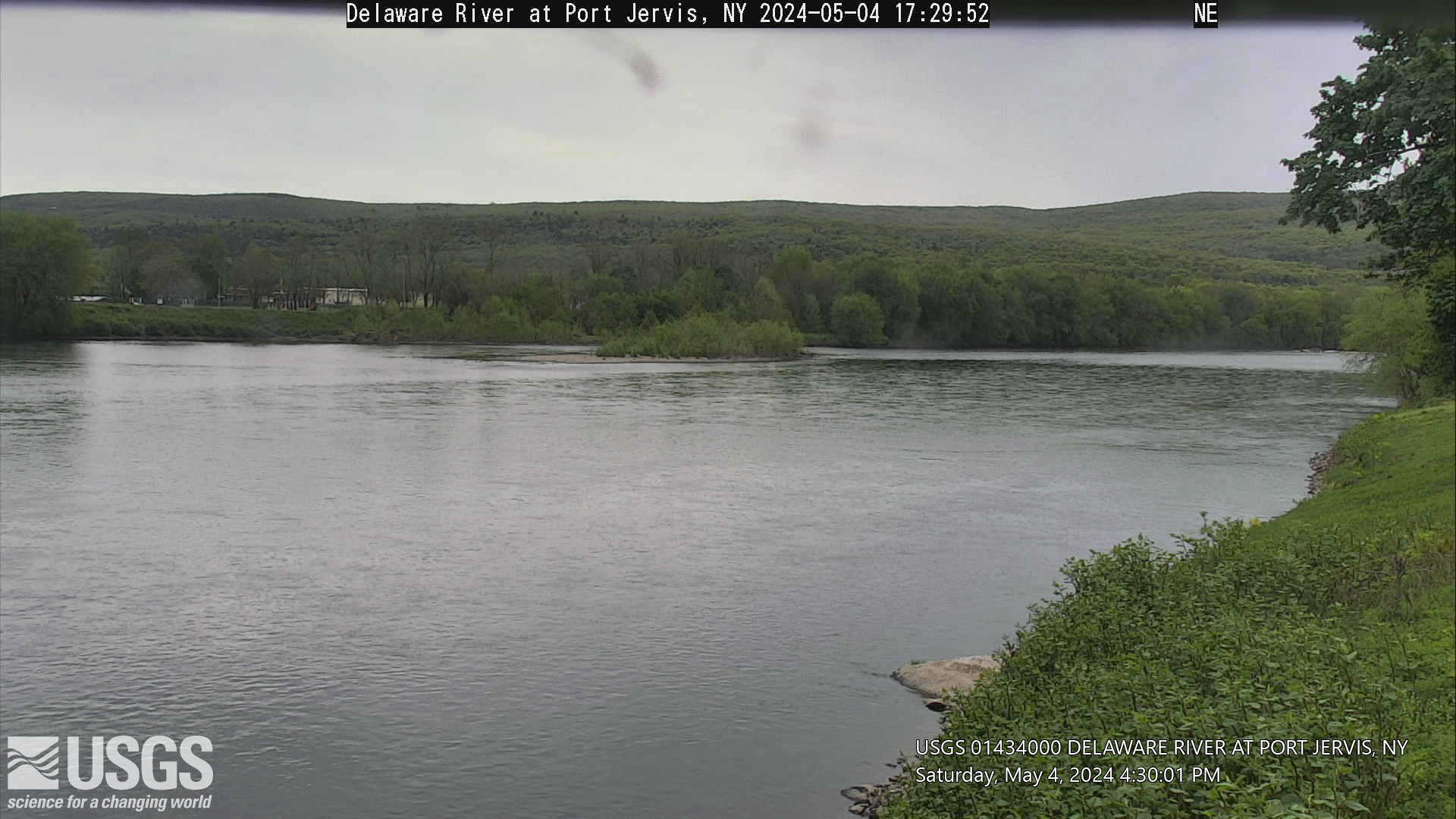
Streamgage 01434000 Delaware River at Port Jervis, NY
Webcam at USGS Streamgage 01434000 Delaware River at Port Jervis, NY.
Visit Water Data For the Nation to get current data for this site.
Webcam at USGS Streamgage 01434000 Delaware River at Port Jervis, NY.
Visit Water Data For the Nation to get current data for this site.
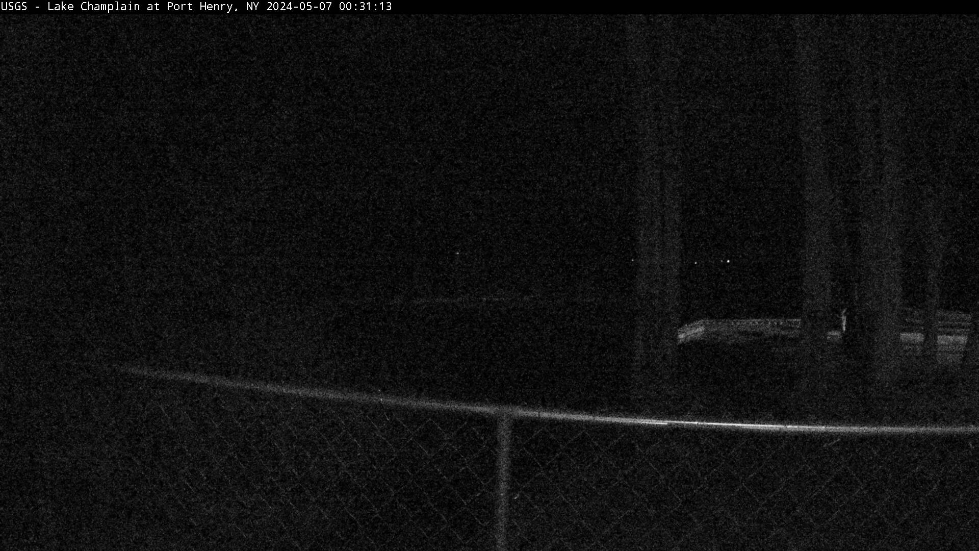
Lake Champlain at Port Henry, NY
PLEASE NOTE: During winter months, ice and snow can affect the picture quality. The camera is cleaned as often as it is safe to do so.
Lake Champlain at Port Henry, NY (04294413)
PLEASE NOTE: During winter months, ice and snow can affect the picture quality. The camera is cleaned as often as it is safe to do so.
Lake Champlain at Port Henry, NY (04294413)
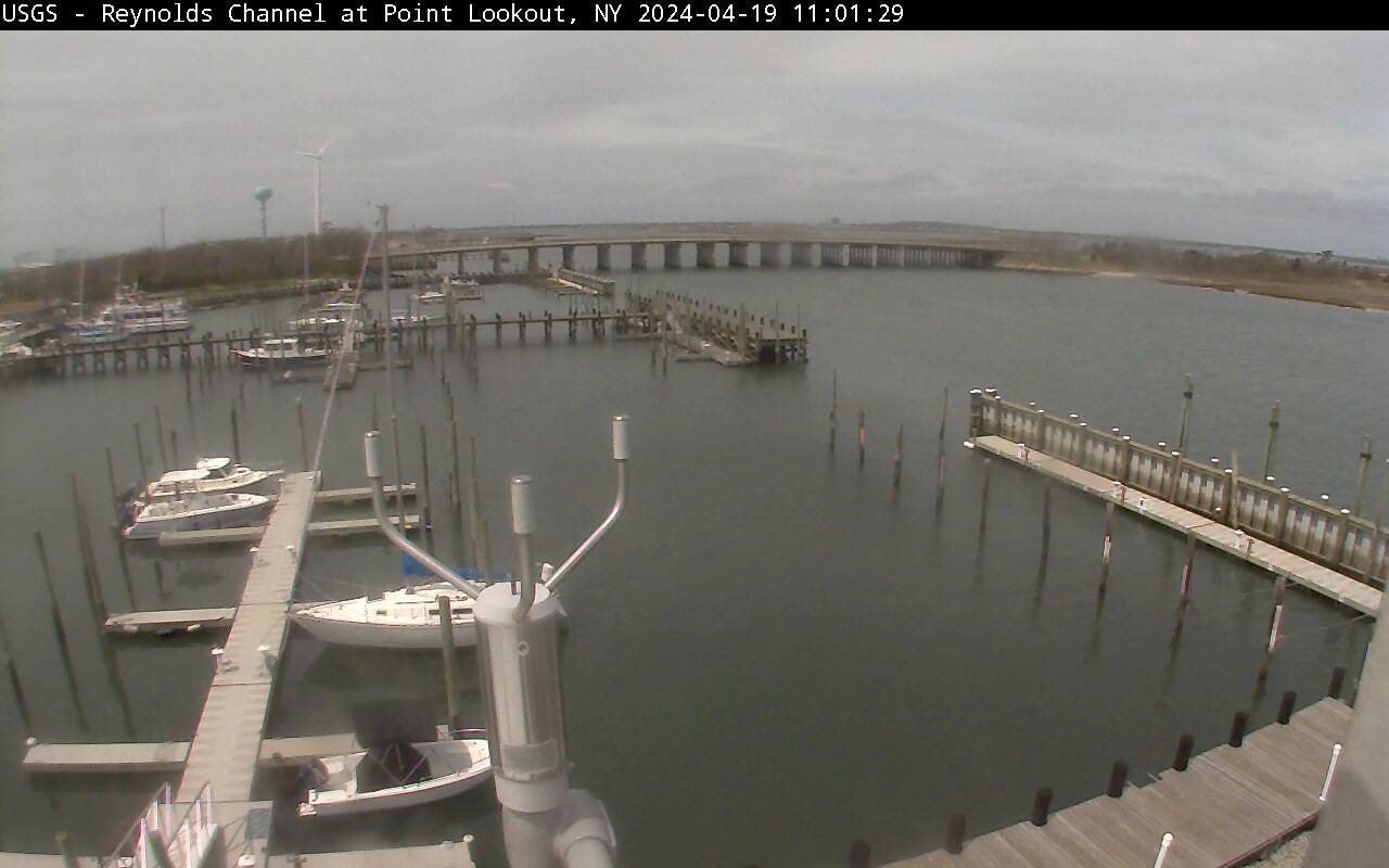
Reynolds Channel at Point Lookout, NY
Latest webcam image of Reynolds Channel (01310740).
Image timestamp is in Eastern Standard Time.
Webcam is located on tower at USGS gaging station, looking west-northwest toward Loop Parkway Bridge.
Latest webcam image of Reynolds Channel (01310740).
Image timestamp is in Eastern Standard Time.
Webcam is located on tower at USGS gaging station, looking west-northwest toward Loop Parkway Bridge.
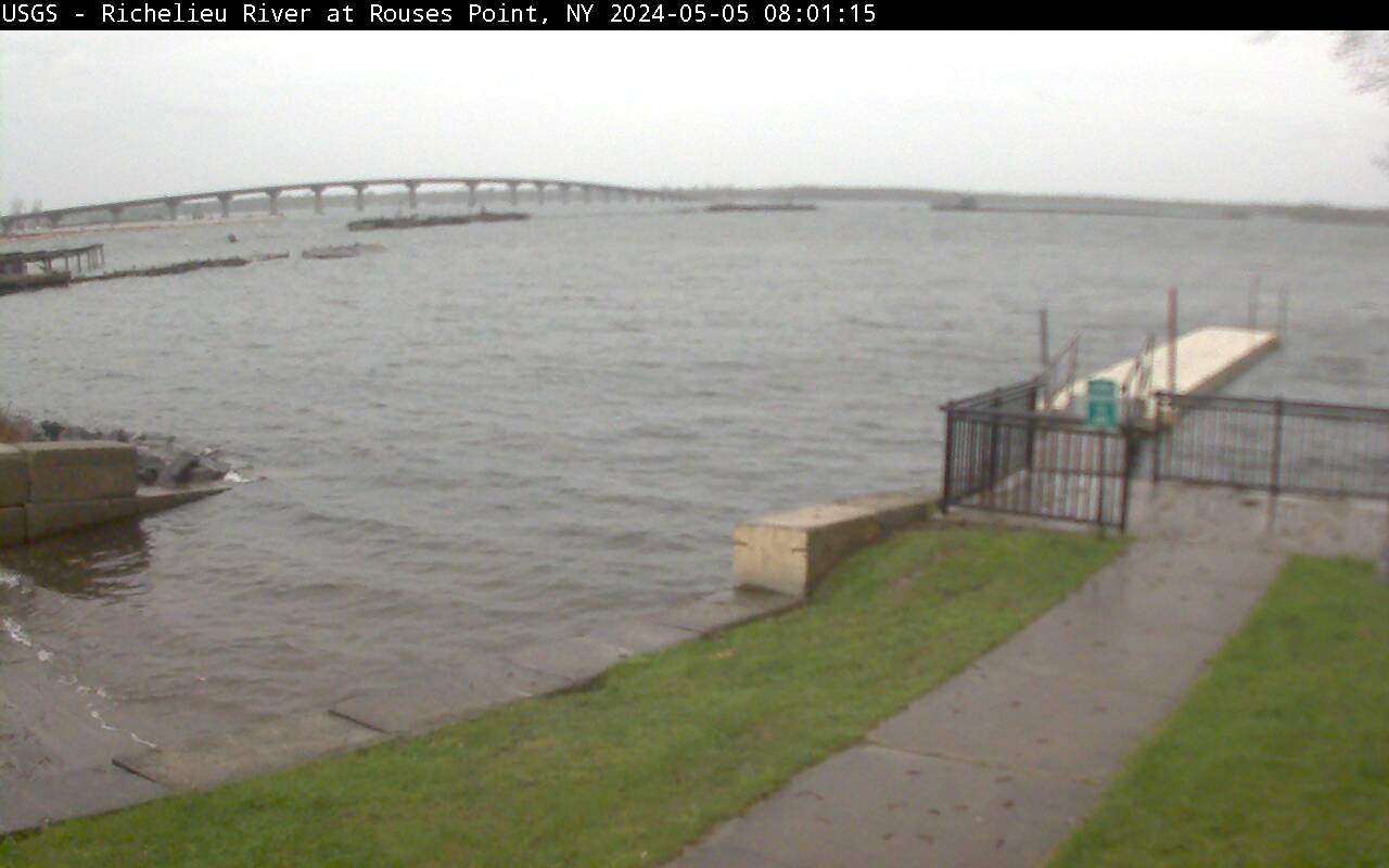
Richelieu River (Lake Champlain) at Rouses Point, NY
Richelieu River (Lake Champlain) at Rouses Point, NY from USGS gaging station (04295000)
Richelieu River (Lake Champlain) at Rouses Point, NY from USGS gaging station (04295000)
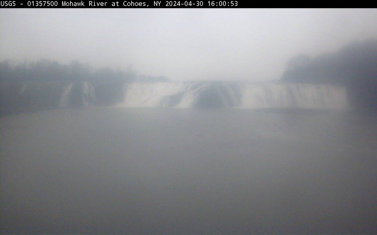
Cohoes Falls, NY
Cohoes Falls upstream from USGS gaging station
PLEASE NOTE: During winter months, ice and snow can affect the picture quality. The camera is cleaned as often as it is safe to do so.
Cohoes Falls upstream from USGS gaging station
PLEASE NOTE: During winter months, ice and snow can affect the picture quality. The camera is cleaned as often as it is safe to do so.