Knowing what's at stake: USGS maps wildfire risk at Mount Baldy and Fort Apache Reservation, Arizona
USGS researchers partnered with the White Mountain Apache Tribe to develop a first-of-its-kind wildfire risk assessment tailored to Mt. Baldy and the Fort Apache Reservation in Arizona, mapping fire risk to wildlands, wildlife, and livelihoods.
Think about a favorite place. A mountain you've hiked. A stream you fish every summer. An elk herd moving through the pines. Now imagine a wildfire burning through it all. How serious is the risk? What could be done to protect it?
For members of the White Mountain Apache Tribe, these aren't hypothetical questions. The Fort Apache Reservation in eastern Arizona spans more than 1.6 million acres including some of the most wildfire-prone terrain in the American West. Its deserts, forests, rivers, and mountains are not only ecologically rich, they are the backbone of a living culture and local economy. These landscapes generate large sources of revenue for the Tribe through industries such as timber harvesting and recreational activities including tourism, hunting, fishing, and winter sports. Even more importantly, they represent an important part of Tribal identity and a sense of home.
Going beyond one-size-fits-all risk assessments
The White Mountain Apache Tribe manages a large, complex landscape that faces high wildfire risk every year.
Like many communities across the Western United States, fire prevention resources may not always keep pace with firefighting demands, and additional tools for decision-making can make a meaningful difference. The unique cultural and place-based values of Tribal lands also mean that a one-size-fits-all approach to wildfire risk assessment may not effectively guide the protection of what matters most to the Tribe.

Most wildfire risk assessments focus heavily on buildings and residential neighborhoods, which are priorities for suburban communities. On Tribal lands, this approach may miss other values at stake. Cultural sites, working forests, hunting grounds, fisheries, and historic structures don't appear on standard risk maps. Wildfire risk assessments play important roles in prioritizing where risk mitigation activities take place and in allocating wildfire risk mitigation funds.
The Bureau of Indian Affairs (BIA) engaged USGS to address these gaps in wildfire risk assessment, with the goal of incorporating a broader range of the local community's concerns and values.
Led by scientists from three USGS research centers in close collaboration with White Mountain Apache Tribe staff and the BIA, the research builds a wildfire risk assessment at the local level using data available at the largest scale.
The result is a novel wildfire risk assessment informed by Tribal knowledge, one that accounts for Tribal values, habitats, watersheds, structures, and priority areas for risk mitigation.
Big data, local answers
USGS scientists specialize in spatial analysis and fire behavior modeling, working with large national datasets covering wildfire behavior, fuel accumulation, burn probability, and land cover generated from satellite imagery, decades of fire records, and sophisticated computer simulations.
Translating these data into analyses that are meaningful and actionable at the community level requires both technical expertise and close partnership with local stakeholders.
The result is a set of risk maps that directly represent the Tribe's identified values and quantify the wildfire risk for each value or resource. In practical terms, these maps give the Tribe and its land management partners a clearer basis for deciding where and how to focus fire management efforts.

A landscape worth protecting
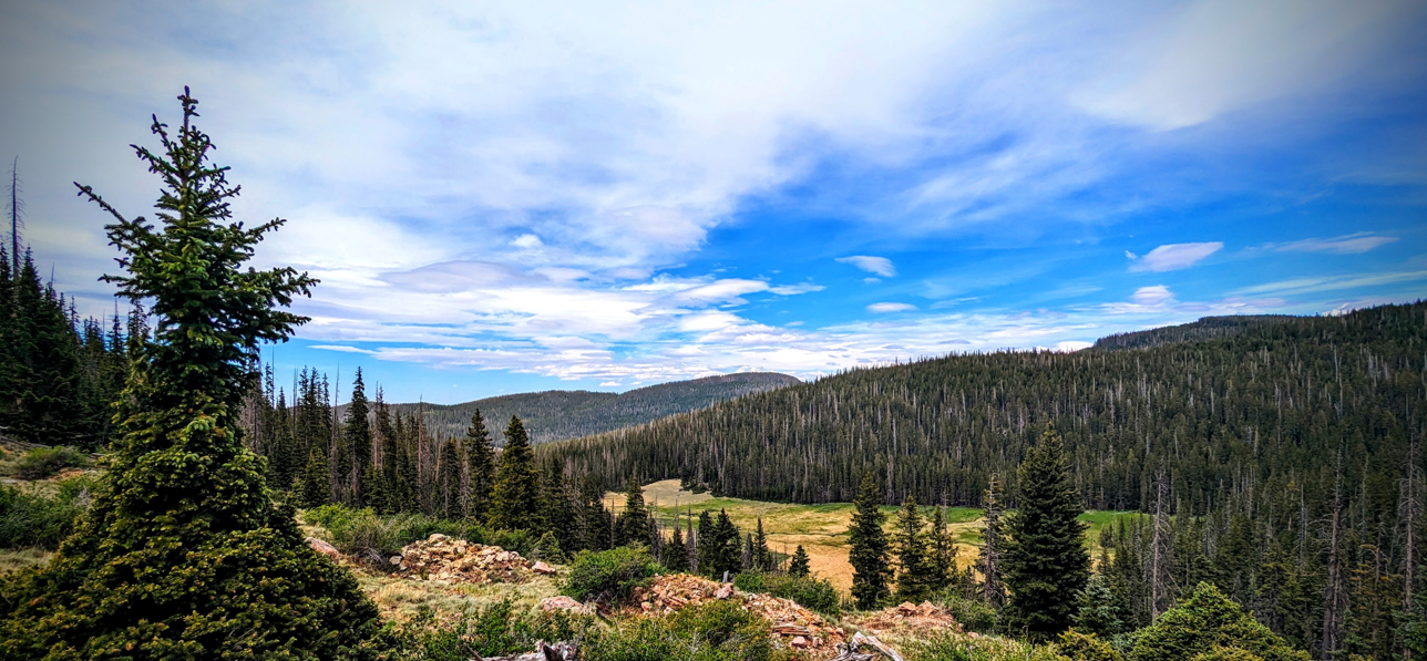
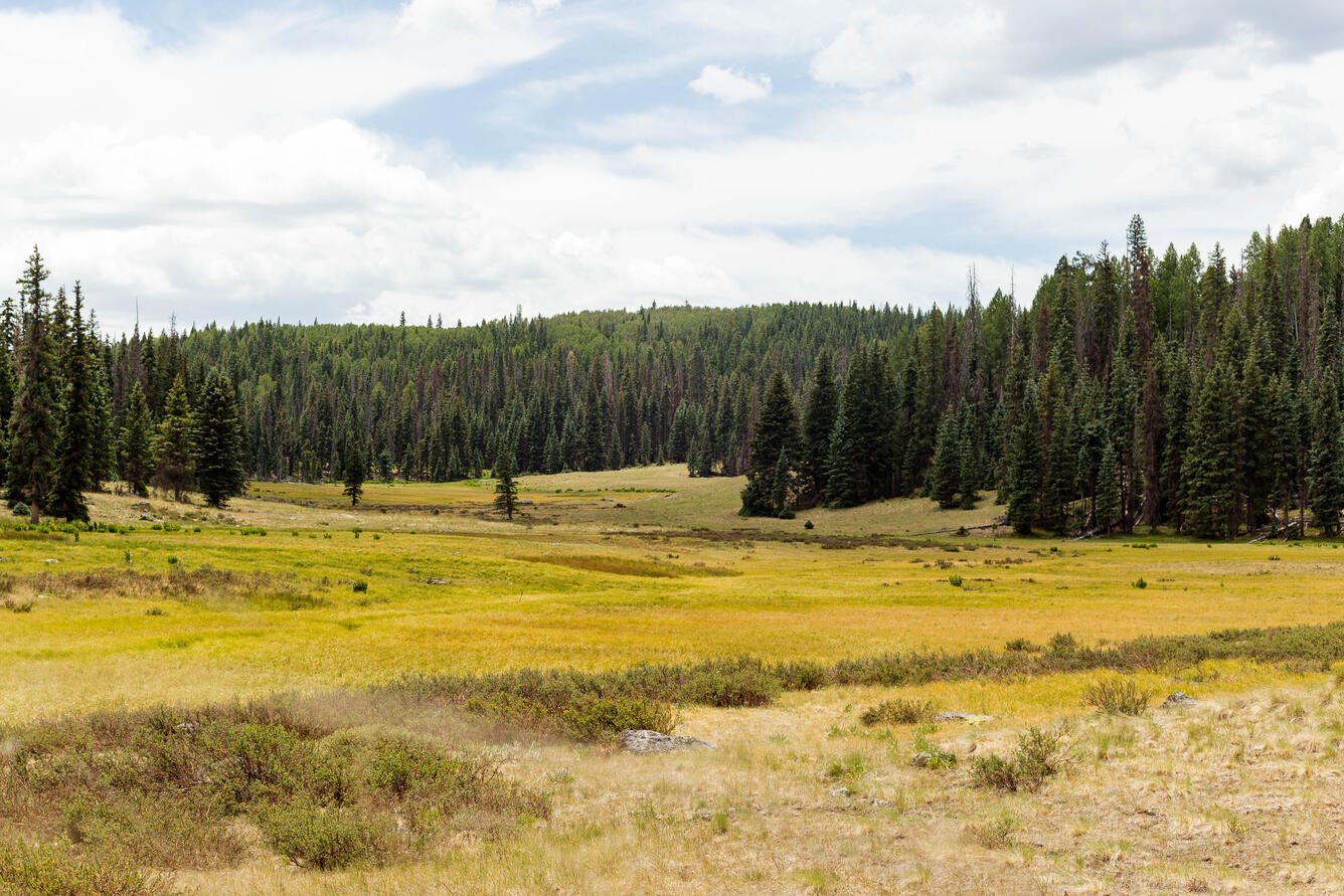
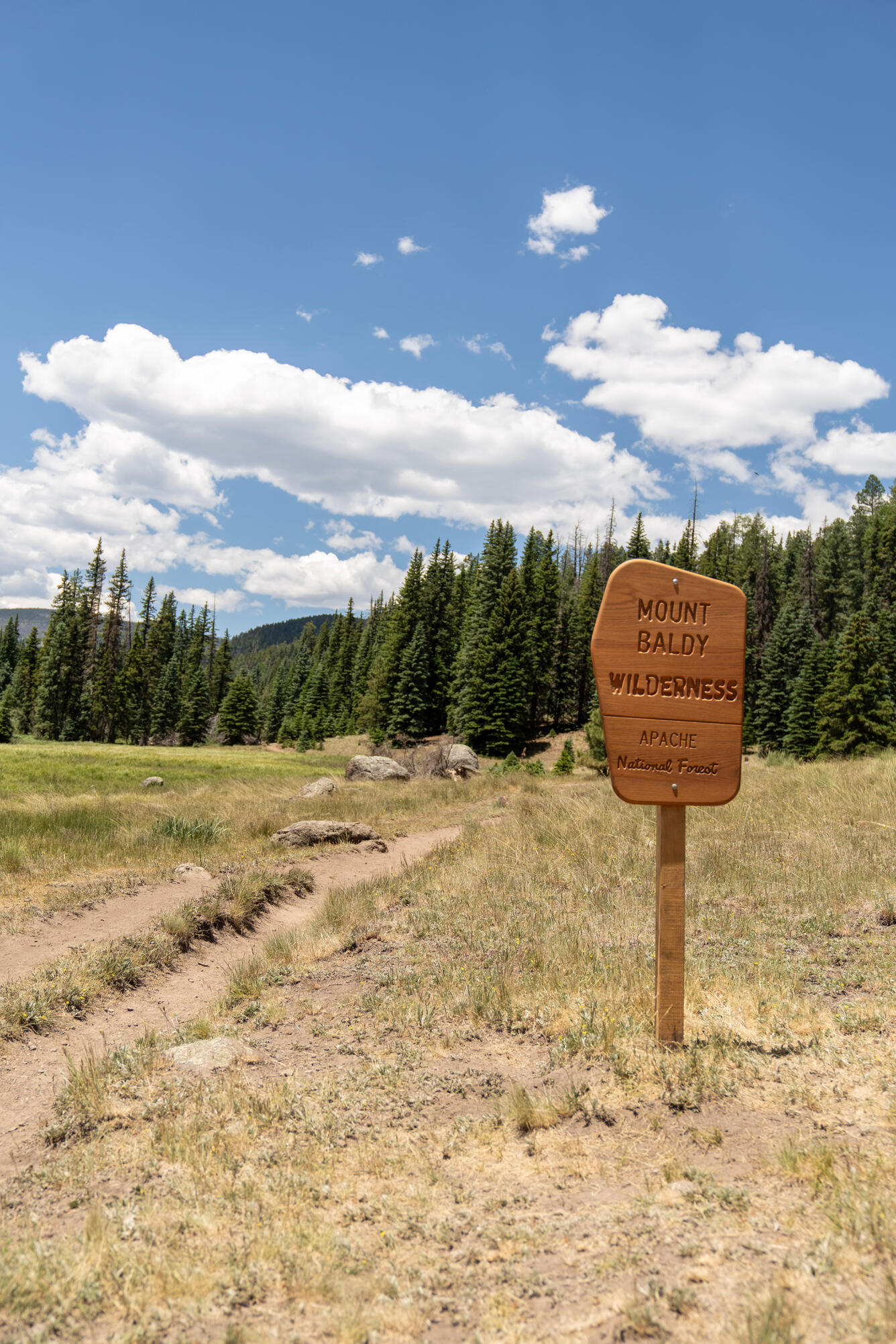
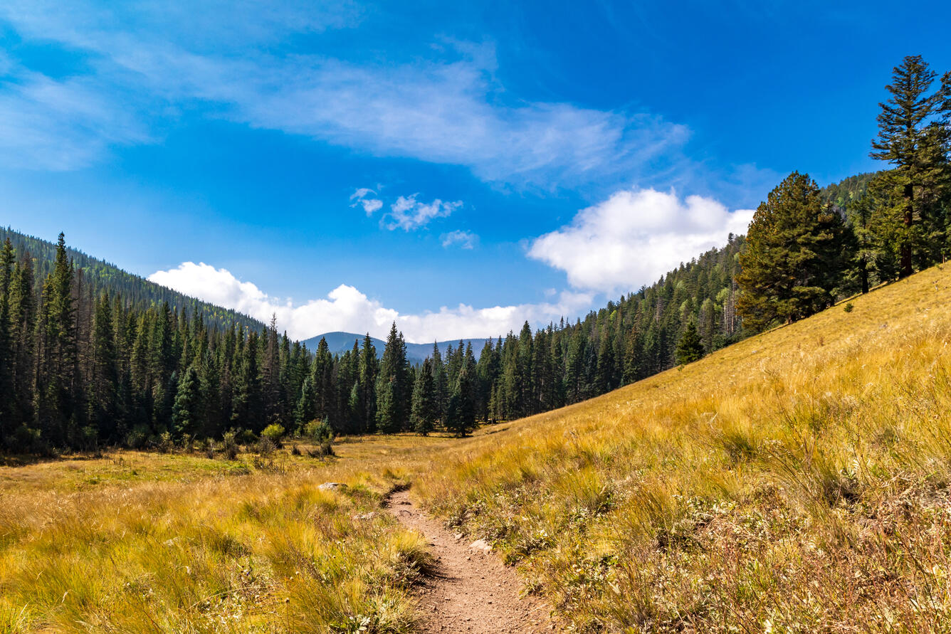
Mount Baldy rises on the northeastern edge of the reservation, sacred to the White Mountain Apache and to many Indigenous peoples across the Southwest.
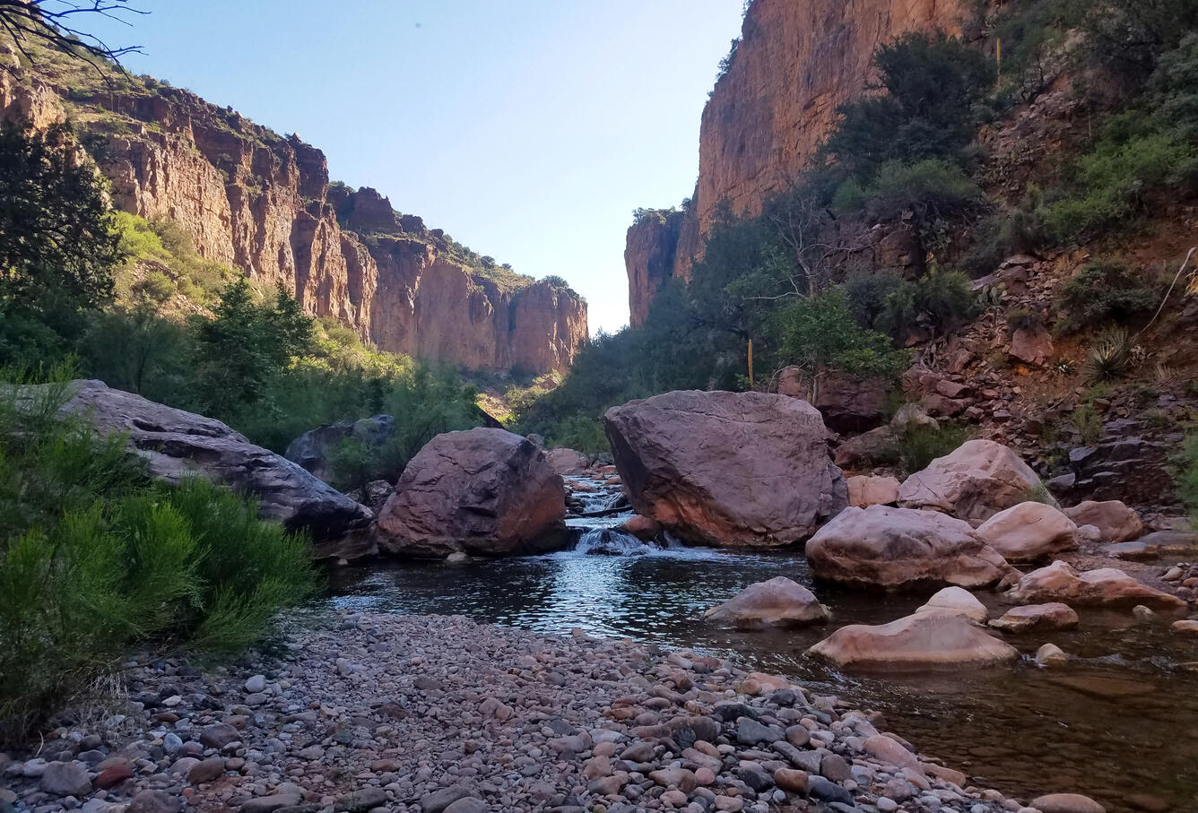
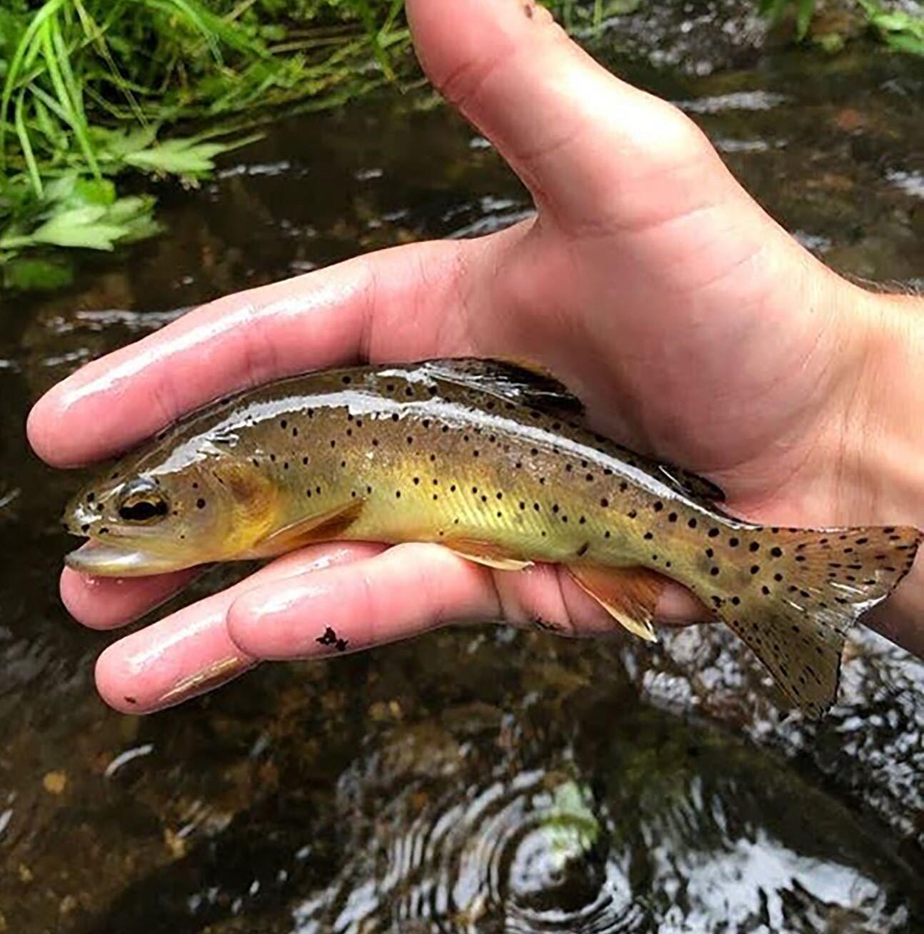
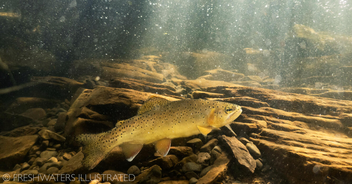
Its ski slopes draw recreational visitors in winter. Its headwater streams support Apache trout, a prized, recently delisted species found only in Arizona, and an important draw for anglers. Elk roam its forests.
The reservation is home to numerous archaeological and historical sites of significance to the Tribe. Ponderosa pine stands provide timber that has bolstered the Tribal economy for generations. Downstream, those same watersheds feed rivers that are important to communities across the region.
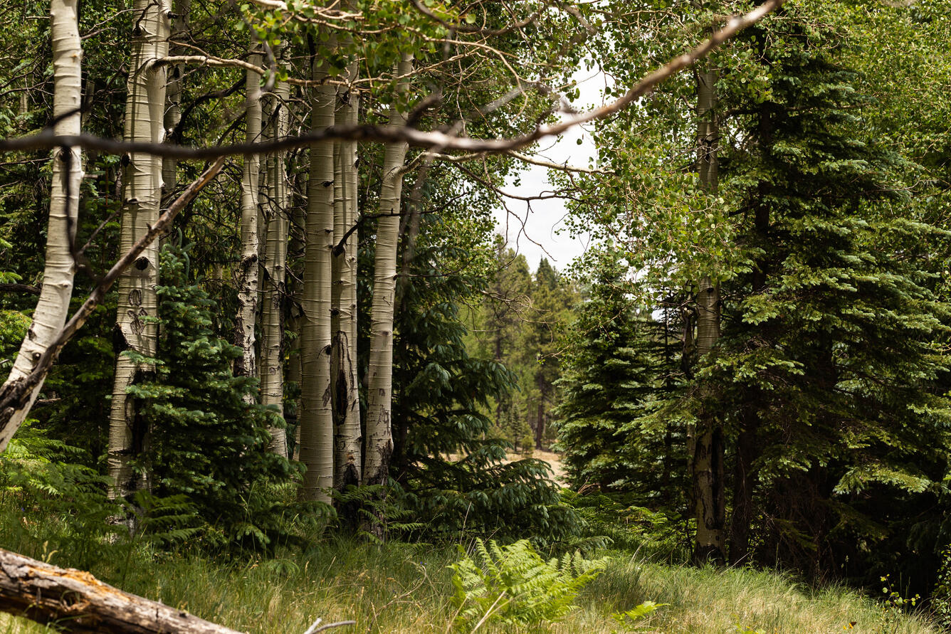
The reservation encompasses a range of ecosystems, from the Sonoran Desert to ponderosa pine and high-altitude mixed-conifer forests, where the greatest fire hazard exists. These are not abstract resources on a spreadsheet.
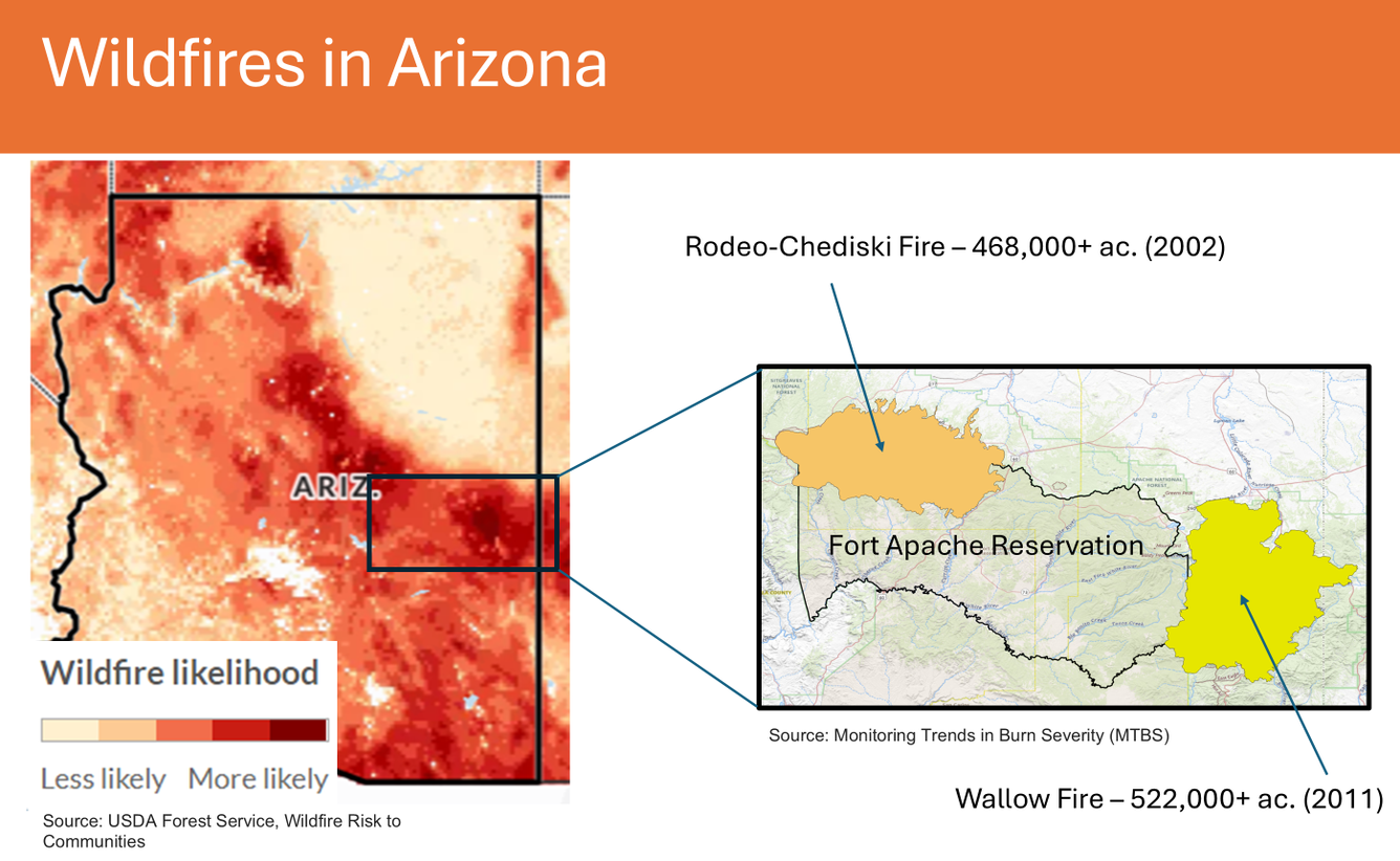
They represent livelihoods, traditions, and identity. And they sit in a landscape where major wildfires have struck before, including the 2002 Rodeo-Chediski Fire and the 2011 Wallow Fire, the two largest in Arizona history, and where the risk of another large fire remains high.
Where wildfire risk is highest
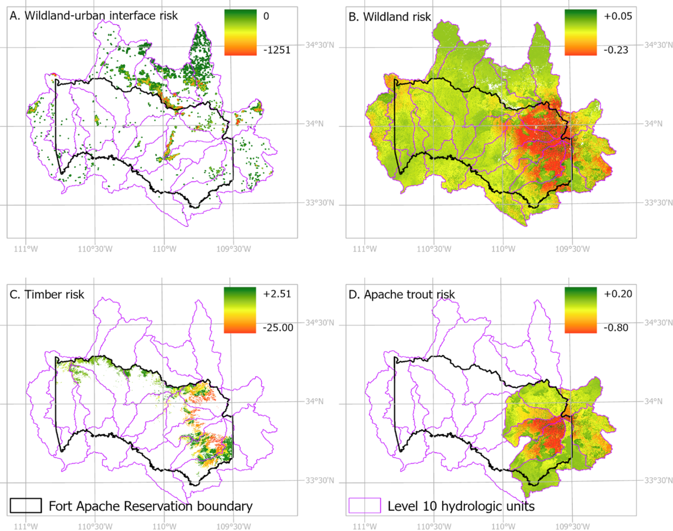
The study found that Mt. Baldy, an area of primary concern to the Tribe and BIA, faces consistently high wildfire risk, particularly on its western slopes. By integrating national fire behavior data with locally identified Tribal values, USGS produced maps that show where risk is greatest.
The study also revealed something important about how risk assessments are built. When buildings and structures are prioritized, as in most traditional assessments, much of the apparent risk falls outside reservation boundaries, where larger communities border the reservation's edges. But when Tribal values are brought into the equation, the picture shifts to reflect forests, watersheds, wildlife, and the working landscapes that sustain Tribal life.
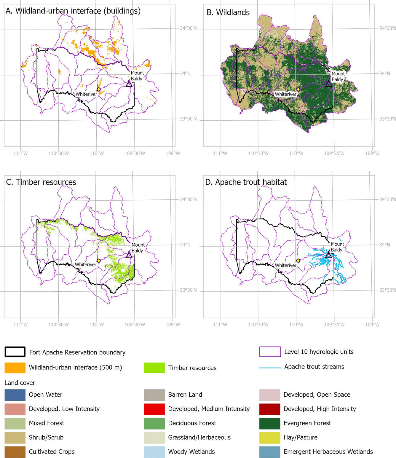
The research also mapped where fuel reduction treatments, such as tree thinning or prescribed fire, are logistically feasible given road access and terrain. That kind of prioritization can help guide decisions when resources are limited and the landscape is extensive.
Values mapped in this study:
- Structures and communities: Homes and buildings in wildland-adjacent areas
- Apache trout habitat: Stream reaches for Arizona’s state fish and a culturally significant species
- Ponderosa pine forests: Timber that supports the Tribal economy
- Wildlands: Forests, meadows, and open lands with ecological, hydrological, and cultural importance
Connecting national science to community benefit
USGS scientists provide national-scale analytical capacity and familiarity with Western landscapes to support communities facing complex wildfire challenges. This study offers a model that other Tribes and land managers facing complex wildfire landscapes can adapt for their own communities.
Read the open-access paper:
Russell, A., Hawbaker, T., Ethelbah-Gatewood, D., Bair, L.S., Carlson, A., Meldrum, J., and Munson, S., 2026, Adapting wildfire risk assessment for a Tribal landscape—Mount Baldy and the Fort Apache Reservation in Arizona: Landscape Ecology, v. 41, article 59, https://doi.org/10.1007/s10980-026-02302-5
Science built on partnership and respect
USGS worked in close partnership with the BIA's Branch of Wildfire Management and Western Regional Office throughout the project. The process was guided by regular communication with Tribal staff, and significant decisions were brought to the Tribal Council for review. The study used only publicly available data, respecting Tribal data sovereignty, and final publication was approved by Tribal Council resolution, underscoring the collaborative nature of this work.