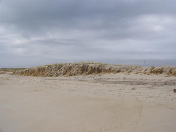
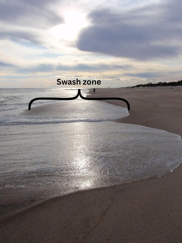
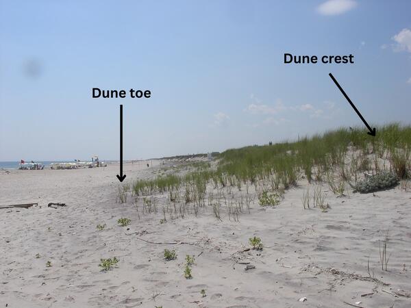
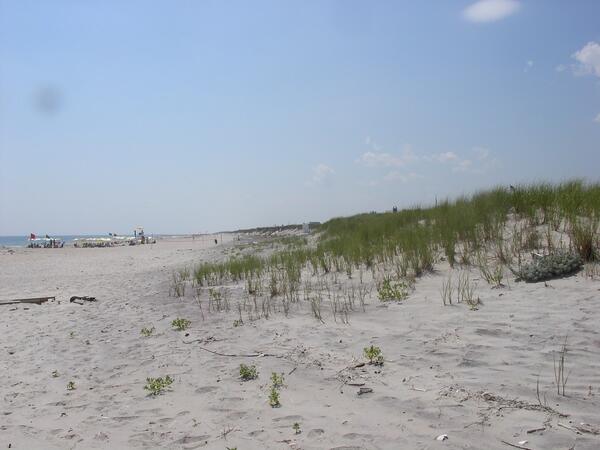
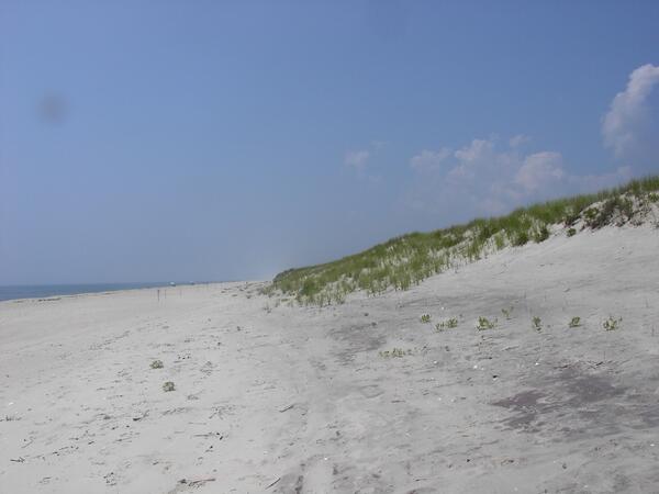
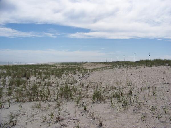
Collecting terrestrial vibracores on barrier islands
Collecting terrestrial vibracores on barrier islandsWe collect terrestrial (barrier island) and marine (nearshore and estuarine) sediment cores to ground-truth geophysical observations. These cores are used to understand the history of barrier island formation and erosion.