
Barrier Island Sensitivity to Changes in Sediment Supply
Observations and models show that maintaining barrier islands requires a balance between sea-level rise and sediment supply. However, most estimates of sediment supply are not based on modern conditions, which could result in less accurate predictions of sediment fluxes. We explore how natural and human alterations impact modern sediment fluxes, or changes, on barrier islands – research that has important implications for coastal resilience and restoration.
Introduction
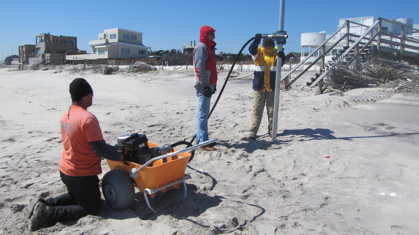
As part of the Coastal Sediment Availability and Flux project, we measure sediment supply changes throughout barrier island systems, including terrestrial and submerged environments (back barrier, island, and shoreface) using repeat geophysical surveys, remote-sensing analyses, and sediment sampling. This integrated approach allows us to better understand short-term changes resulting from storms, post-storm recovery, or human activities. We couple our short-term observations with modeling and long-term geologic characterization to assess barrier island change over multiple time scales and develop predictive scenarios for future barrier-island evolution. This information is critical for resource managers to effectively respond to environmental and man-made challenges.
Submerged Sediment Fluxes
Interannual time-series of bathymetry data showing infilling of a borrow pit created at the northern end of the Chandeleur Islands in 2010. Bathymetry shows seafloor depth, with red representing shallow water and blue representing deeper water. Sediment originally removed from the borrow pit was placed as a sand berm along the island platform and has been redistributed over the last several years. Using these data, we can estimate modern sediment fluxes and variations in those fluxes year-to-year, helping guide models and coastal restoration planning.

Subaerial Island Changes
This time series of Landsat satellite imagery shows changes at the northern Chandeleur Islands resulting from storm events and berm construction. We use remote-sensing datasets to extract information such as land area, land-cover, and beach or marsh widths and track how those features change through time.

Integrated Submerged and Terrestrial Sediment Flux
Over short-time periods, we use annual satellite imagery, aerial photography, and submerged and terrestrial elevation data to measure change across the whole barrier-island system. Transects (purple lines) show the locations of annual elevation data and plots from the northernmost transect show vertical island growth due to increased sediment supply.

Sedimentology
Coastal sediments can record barrier island processes that occur when we are not around to measure them. Small-scale changes in sediment texture can tell us what processes contributed to barrier island erosion/deposition or where sediments are redistributed. We measure textural changes in surface samples and in cores to quantify along- and cross-barrier sediment exchanges.


Learn more about the Coastal Sediment Availability and Flux (CSAF) Project

Coastal Sediment Availability and Flux (CSAF)
Observations and models show that maintaining barrier islands requires a balance between sea-level rise and sediment supply. However, most estimates of sediment supply are not based on modern conditions, which could result in less accurate predictions of sediment fluxes. We explore how natural and human alterations impact modern sediment fluxes, or changes, on barrier islands – research that has important implications for coastal resilience and restoration.
Introduction
As part of the Coastal Sediment Availability and Flux project, we measure sediment supply changes throughout barrier island systems, including terrestrial and submerged environments (back barrier, island, and shoreface) using repeat geophysical surveys, remote-sensing analyses, and sediment sampling. This integrated approach allows us to better understand short-term changes resulting from storms, post-storm recovery, or human activities. We couple our short-term observations with modeling and long-term geologic characterization to assess barrier island change over multiple time scales and develop predictive scenarios for future barrier-island evolution. This information is critical for resource managers to effectively respond to environmental and man-made challenges.
Submerged Sediment Fluxes
Interannual time-series of bathymetry data showing infilling of a borrow pit created at the northern end of the Chandeleur Islands in 2010. Bathymetry shows seafloor depth, with red representing shallow water and blue representing deeper water. Sediment originally removed from the borrow pit was placed as a sand berm along the island platform and has been redistributed over the last several years. Using these data, we can estimate modern sediment fluxes and variations in those fluxes year-to-year, helping guide models and coastal restoration planning.
Subaerial Island Changes
This time series of Landsat satellite imagery shows changes at the northern Chandeleur Islands resulting from storm events and berm construction. We use remote-sensing datasets to extract information such as land area, land-cover, and beach or marsh widths and track how those features change through time.
Integrated Submerged and Terrestrial Sediment Flux
Over short-time periods, we use annual satellite imagery, aerial photography, and submerged and terrestrial elevation data to measure change across the whole barrier-island system. Transects (purple lines) show the locations of annual elevation data and plots from the northernmost transect show vertical island growth due to increased sediment supply.
Sedimentology
Coastal sediments can record barrier island processes that occur when we are not around to measure them. Small-scale changes in sediment texture can tell us what processes contributed to barrier island erosion/deposition or where sediments are redistributed. We measure textural changes in surface samples and in cores to quantify along- and cross-barrier sediment exchanges.
Learn more about the Coastal Sediment Availability and Flux (CSAF) Project