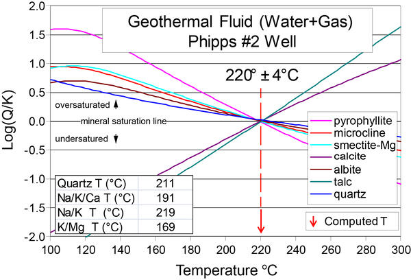
Jim McClure-Jerry Peak Wilderness area in central Idaho
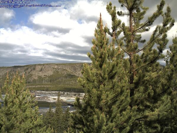
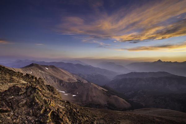
Jim McClure-Jerry Peak Wilderness area in central IdahoThe geology of the Jim McClure-Jerry Peak Wilderness area in central Idaho includes the Challis volcanics, which erupted about 52–45 million years ago. Photo by Matt Liedecker, Bureau of Land Management, May 23, 2017 (https://www.flickr.com/photos/blmidaho/34808808006/).