
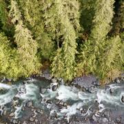
Land Use Effects on Aquatic Ecosystems
Landuse has a dominant influence on aquatic ecosystems due to its influence on the hydrologic cycle, water quality, stream habitat, aquatic species, and ultimately the overall function of the aquatic ecosystem. The USGS WSC is involved in the monitoring and research of landuse and how landuse activities influence aquatic ecosystems. This includes the influence of forest, urbanization, and agricultural systems. Much of this work is focused on determining the interactions of physical or chemical stressors and how they influence aquatic ecosystems. The influence of landuse on aquatic ecosystems can be done through assessing changes in species composition, fish heath, bioaccumulation of contaminants, alterations of habitat, excessive production of nuisance aquatic plants, or alterations in the ability of an aquatic ecosystem to function normally.
Watersheds and Fluvial Systems Team
Carbon in Urban River Biogeochemistry Project

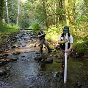
Characterizing water and sediment quality to support watershed management and fish hatchery operations near Clarks Creek, WA

Integration of Urban Stormwater Infrastructure in Modeling Water Quality Patterns in Small Urban Streams

Mapping ecohydrological headwater refugia

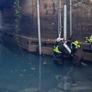
Green-Duwamish Watershed 6PPD-q small stream monitoring

Ice Jams on Osoyoos Lake
Stormwater Action Monitoring (SAM)

Baseline assessment of PAH concentrations in fish from the Stillaguamish River, Washington

Coastal Habitats in Puget Sound

Puget Sound, WA Nutrient SPARROW Model
