
Hazards
Ocean hazard events like tsunamis, triggered by earthquakes and landslides, storm surges associated with hurricanes and extreme storms, oil and gas spills, floods and associated watershed contaminants, affect the health and safety of our Nation's ocean and coastal communities and ecosystems. USGS scientists study the causes, distribution and hazard potential of coastal and submarine hazard events.
Coastal Change

Through observation and modeling, the Coastal Change Hazards project develops robust and accessible coastal change assessments that help improve the lives, property, and economic prosperity of the Nation’s coastal communities, habitats, and natural resources.

Sea-Level Rise
The Sea-Level Rise Hazards and Decision-Support project assesses present and future coastal vulnerability to provide actionable information for management of our Nation’s coasts.

U.S. Geological Survey Gas Hydrates Project

Sea Floor Mapping Group

Aerial Imaging and Mapping

National Seafloor Mapping and Benthic Habitat Studies

Cross-Shore and Inlets (CSI) Processes

Beach-dependent Shorebirds

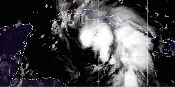
Caribbean Tsunami and Earthquake Hazards Studies

Coastal Change Processes

Geologic Mapping Offshore of Rhode Island

Environmental Compliance

Community Model for Coastal Sediment Transport
