Annual NLCD (1985-2023) Animation for the Great Salt Lake and Salt Lake Valley, Utah
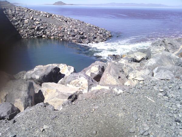
Annual NLCD (1985-2023) Animation for the Great Salt Lake and Salt Lake Valley, UtahAnnual NLCD is a new generation of land cover mapping that offers annual land cover and land change science products nationwide with nearly four decades of data. Learn more here: https://usgs.gov/annualnlcd