Search Earthquake Catalog
online search by time window, area, magnitude, and more
online search by time window, area, magnitude, and more
2025 USGS and ANSS Earthquake Monitoring Report
A geonarrative exploring domestic and global earthquake monitoring efforts in 2025
A geonarrative exploring domestic and global earthquake monitoring efforts in 2025
Significant Earthquakes, Past 30 days
Significant Earthquakes, Past 30 days
5.3
265 km SSE of Dunhuang, China
2026-06-30 23:44:55 (UTC)
Pager Alert Level: Yellow
MMI: VI (Strong Shaking)
10.0 km
4.2
27 km WNW of Hope, Alaska
2026-06-27 05:25:52 (UTC)
Pager Alert Level: Green
MMI: IV (Light Shaking)
47.9 km
6.5
34 km WSW of Sarangani, Philippines
2026-06-26 11:34:41 (UTC)
Pager Alert Level: Green
MMI: VII (Very Strong Shaking)
42.0 km
6.9
30 km ENE of Kuji, Japan
2026-06-24 22:30:15 (UTC)
Pager Alert Level: Yellow
MMI: VII (Very Strong Shaking)
50.9 km
7.5
28 km SE of Yumare, Venezuela
2026-06-24 22:05:12 (UTC)
Pager Alert Level: Red
MMI: IX (Violent Shaking)
10.0 km
7.2
23 km SE of Yumare, Venezuela
2026-06-24 22:04:33 (UTC)
Pager Alert Level: Red
MMI: IX (Violent Shaking)
20.3 km
5.6
11 km N of Redwood Valley, CA
2026-06-24 15:10:41 (UTC)
Pager Alert Level: Yellow
MMI: VII (Very Strong Shaking)
8.9 km
6.6
133 km ESE of Petropavlovsk-Kamchatsky, Russia
2026-06-19 06:52:32 (UTC)
Pager Alert Level: Green
MMI: V (Moderate Shaking)
10.0 km
6.6
10.0 km
6.3
260 km SSE of Dunhuang, China
2026-06-16 09:06:55 (UTC)
Pager Alert Level: Orange
MMI: VIII (Severe Shaking)
10.0 km
6.7
43 km ESE of Palu, Indonesia
2026-06-16 03:27:44 (UTC)
Pager Alert Level: Yellow
MMI: VIII (Severe Shaking)
10.0 km
2.4
5.0 km
6.2
67 km ESE of Pondaguitan, Philippines
2026-06-15 09:18:39 (UTC)
Pager Alert Level: Green
MMI: IV (Light Shaking)
111.9 km
4.7
23 km E of Pāpa‘ikou, Hawaii
2026-06-10 08:37:40 (UTC)
Pager Alert Level: Green
MMI: IV (Light Shaking)
39.2 km
Earthquake Hazards Program
The USGS monitors and reports on earthquakes, assesses earthquake impacts and hazards, and conducts targeted research on the causes and effects of earthquakes. We undertake these activities as part of the larger National Earthquake Hazards Reduction Program (NEHRP), a four-agency partnership established by Congress.
Latest Earthquakes
Latest Earthquakes

Latest earthquakes map and list (past 24 hours, M2.5+) from the ANSS (Advanced National Seismic System).
Search Earthquake Catalog
Search Earthquake Catalog

Find an earthquake or a list of earthquakes by time window, magnitude, area, and more, and choose the output format - map and list, CVS, and others.
News
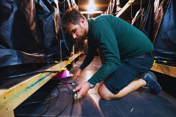
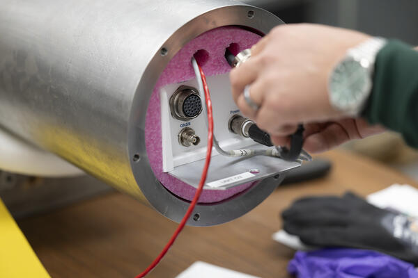
The Loneliest Seismometers on Earth
The Loneliest Seismometers on Earth
Updates for ShakeAlert False Alert for M5.9 Earthquake near Carson City, NV (Dec. 2025)
Updates for ShakeAlert False Alert for M5.9 Earthquake near Carson City, NV (Dec. 2025)
USGS releases aftershock forecast for M8.8 Russian Kamchatka Peninsula Earthquake
USGS releases aftershock forecast for M8.8 Russian Kamchatka Peninsula Earthquake
Publications
A ground-motion model derived using a generalized mean rupture distance for large slab interface earthquakes A ground-motion model derived using a generalized mean rupture distance for large slab interface earthquakes
Source–station distance is a central input to ground‐motion models (GMMs) for predicting seismic shaking. GMM development uses distance metrics including the Joyner–Boore distance, which is the shortest distance from an observation point to the surface projection of the earthquake rupture, and Rrup the shortest distance to the rupture in three dimensions. Thompson and Baltay (2018)...
Preliminary geology of the North Meadow Creek Area, Tobacco Root Mountains, southwest Montana: The North Meadow Creek Fault Preliminary geology of the North Meadow Creek Area, Tobacco Root Mountains, southwest Montana: The North Meadow Creek Fault
This report documents a previously unmapped fault, informally referred to herein as the North Meadow Creek fault, on the east flank of the Tobacco Mountains of southwestern Montana. This fault has an apparently long and complex history, including Quaternary offset of an older alluvial terrace, offset of a debris flow of presumed Pleistocene age, offset of rhyolite lava flows of presumed...
Rapid earthquake magnitude classification via P-wave strains from borehole strainmeters and Distributed Acoustic Sensing Rapid earthquake magnitude classification via P-wave strains from borehole strainmeters and Distributed Acoustic Sensing
Distributed Acoustic Sensing (DAS) offers a promising approach for earthquake early warning (EEW) in settings where seismic networks are costly to maintain. By repurposing fiber-optic cables as dense strainmeter arrays, DAS enables real-time earthquake detection wherever those fibers are accessible. However, poor azimuthal coverage and challenges in estimating magnitude from strain...
Science
Challenges and Advances in Stable Continental Region Paleoseismology
Thursday and Friday, September 17-18, 2026 8:30 am - 4:30 pm CDT A Hybrid Event at The University of Memphis FedEx Institute of Technology

Geologic Mapping for Landscape Resiliency in California, Oregon, and Washington
This project uses geologic and geomorphic mapping in the context of societally relevant problems in the Earth’s critical zone. Leveraging interdisciplinary research ties and interagency collaborations, it utilizes remote sensing data, corroborated with field observations, to determine i) the spatial distribution of geomorphic processes and ages of Quaternary deposits in the context of active...
By
Earthquake Hazards Program, Landslide Hazards Program, National Cooperative Geologic Mapping Program, Earthquake Science Center, Geologic Hazards Science Center, Geology, Minerals, Energy, and Geophysics Science Center, Geosciences and Environmental Change Science Center, Pacific Coastal and Marine Science Center, Big Sur Landslides

Mapping the grid: The United States Magnetotelluric Array
The United States has been mapped from space to the ground across its surface; however never from the perspective of the planet’s own electrical heartbeat. Over nearly two decades, the United States Magnetotelluric Array quietly marched across the country, station by station, building the first-ever electrical portrait of the crust and upper mantle beneath the contiguous U.S. An ambitious, multi...