
Balancing the West Point Extensometer
Detailed Description
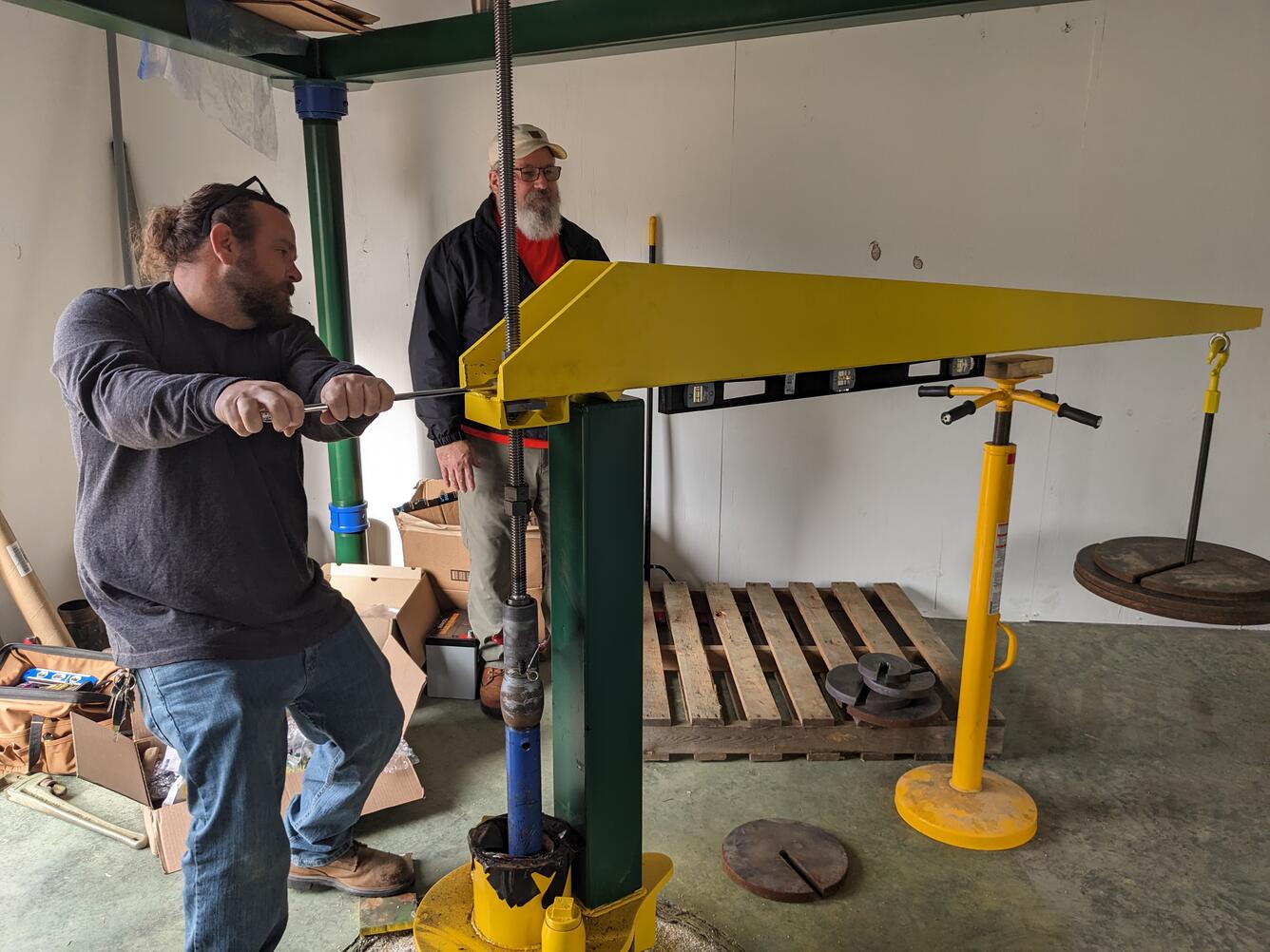
Two USGS scientists balance the West Point extensometer's fulcrum arm prior to the instrument's activation.
Extensometers are highly sensitive instruments that measure changes in land surface elevation, specifically aquifer compaction. They can extend hundreds to thousands of feet into the ground, and they are balanced by a fulcrum arm at the surface. This carefully-balanced fulcrum reduces the friction of the extensometer pipe and allows for incredibly precise measurements.
The USGS West Point pipe extensometer (56J 49) has a total depth of 1,371 feet. Data for this site can be found on USGS Water Data for the Nation.
This extensometer is a part of the Virginia Extensometer Network.
Sources/Usage
Public Domain.
Related

The Virginia Extensometer Network
Borehole extensometers are instruments that monitor land subsidence caused by aquifer compaction. They provide precise, high-resolution measurements of changes in aquifer-system thickness. These changes in aquifer-system thickness contribute to vertical land motion (VLM) across the Virginia Coastal Plain, and are driven primarily by groundwater level decline due to human water usage. The Virginia...

Land Subsidence on the Virginia Coastal Plain
Land subsidence is a loss of ground elevation, often experienced as the ground slowly sinking over the course of years. In eastern Virginia, high rates of groundwater use is a major factor in the land subsidence affecting the area. The Virginia-West Virginia Water Science Center, with the help of our partners, has been monitoring land subsidence in the Virginia Coastal Plain since 1979 using a...
West Point Extensometer
West Point Extensometer


Related
The Virginia Extensometer Network
Borehole extensometers are instruments that monitor land subsidence caused by aquifer compaction. They provide precise, high-resolution measurements of changes in aquifer-system thickness. These changes in aquifer-system thickness contribute to vertical land motion (VLM) across the Virginia Coastal Plain, and are driven primarily by groundwater level decline due to human water usage. The Virginia...
Land Subsidence on the Virginia Coastal Plain
Land subsidence is a loss of ground elevation, often experienced as the ground slowly sinking over the course of years. In eastern Virginia, high rates of groundwater use is a major factor in the land subsidence affecting the area. The Virginia-West Virginia Water Science Center, with the help of our partners, has been monitoring land subsidence in the Virginia Coastal Plain since 1979 using a...
West Point Extensometer
West Point Extensometer