
Groundwater Monitoring Well - Franklin, Virginia

Detailed Description
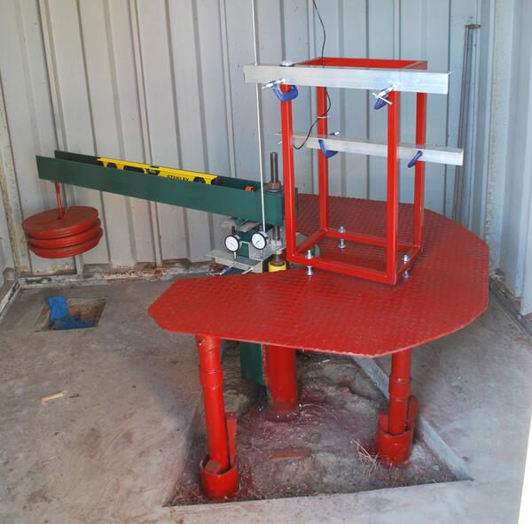
The USGS well at Franklin, Virginia (USGS 364059076544901 55B 16) constantly monitors water levels in the Potomac Aquifer and provides scientists with a record of water levels going as far back as 1960. This well is located next to the Franklin Extensometer, and water levels observed here tend to track closely with vertical land motion observed by the extensometer. This well is located close to the center of a region of major groundwater drawdown, as seen in this map.
Depth-to-water measurements are periodically verified by USGS scientists using a metal tape fed down the well, as pictured here.
Sources/Usage
Public Domain.
Related
Franklin Extensometer
Franklin Extensometer


Related
Franklin Extensometer
Franklin Extensometer