
Measuring a Geomorphic Transect Pin

Detailed Description
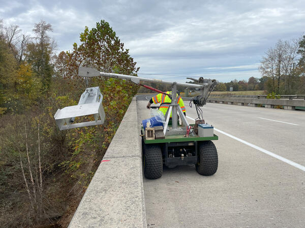
A USGS technician measures a geomorphic transect pin.
Geomorphic transects are a method of measuring deposition and erosion along a streambank. Pins made of rebar are driven into the floodplain and the banks at specific locations, and the initial length of the pin emerging is measured. As erosion occurs, more of the pin emerges over time, and the measured length of the pins increases. As deposition occurs, the pins become buried deeper, and the measured length decreases. In this way, scientists can measure where a stream might be trapping or losing sediment, and how much.
This geomorphic transect is located along Accotink Creek downstream of Lake Accotink in Fairfax, Virginia. Accotink Creek is being monitored as a part of the Lake Accotink Sedimentation Study, which is a part of the Fairfax County Water Resources Monitoring Network.
Sources/Usage
Public Domain.


