U.S. flag

An official website of the United States government

Hawaiian Volcano Observatory

Find U.S. Volcano

HVO monitors earthquakes and the active volcanoes in Hawaii, assesses their hazards, issues warnings, and advances scientific understanding to reduce the impacts of volcanic eruptions. Communicating the results of our work to the public, emergency managers, and the scientific community is an important aspect of the HVO mission. 

Active Volcanoes in Hawaii

Very High Threat Potential
Kīlauea
Mauna Loa
High Threat Potential
Hualālai
Moderate Threat Potential
Haleakalā
Mauna Kea
Not Ranked
Kama‘ehuakanaloa (Lō‘ihi Seamount)
View the threat rankings of US Volcanoes

News

Volcano Minute — Magnitude-6.0 earthquake on May 22, 2026

Volcano Minute — Magnitude-6.0 earthquake on May 22, 2026

Volcano Watch — What caused the shake up on Friday night?

Volcano Watch — What caused the shake up on Friday night?

Earthquake Information Statement

Earthquake Information Statement

Multimedia

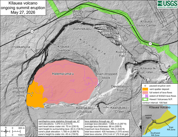
Color map showing area covered by lava flows in recent volcanic eruption
May 27, 2026—Kīlauea summit eruption reference map
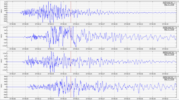
Color graphic of earthquake waveform data
Volcano Minute — Magnitude-6.0 earthquake on May 22, 2026
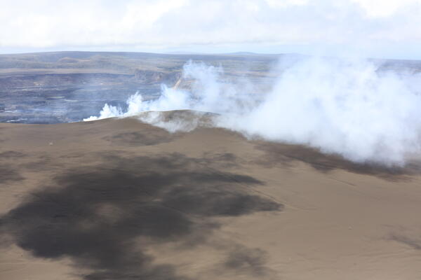
Color photograph of degassing vents
May 22, 2026 — View of cone and degassing north and south vents at Kīlauea summit
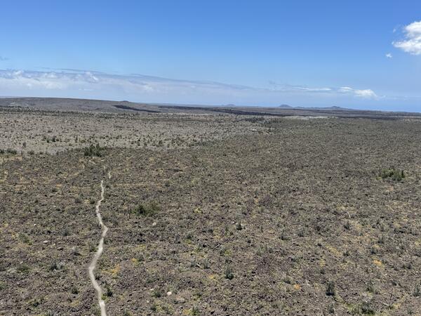
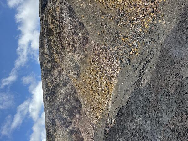
View of inactive vent and trail
May 22, 2026 — Maunaiki shield and Kaʻū Desert trail on the Southwest Rift Zone of Kīlauea
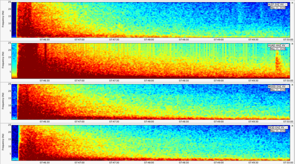
Color plot showing earthquake energy at different stations
Spectrogram data from the magnitude-6 earthquake beneath the Island of Hawaiʻi on May 22, 2026
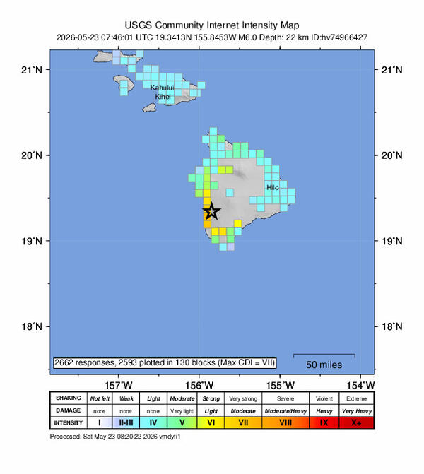
Color graphic showing intensity of earthquake shaking from felt reports
Shaking intensity of the magnitude-6 earthquake beneath the Island of Hawaiʻi on May 22, 2026
Color photograph of weather crater wall
May 22, 2026 — View of altered Halemaʻumaʻu crater wall at Kīlauea summit
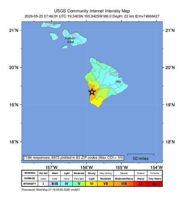
Color graphic showing intensity of earthquake shaking from felt reports
Shaking intensity map of the magnitude-6 earthquake beneath the Island of Hawaiʻi on May 22, 2026
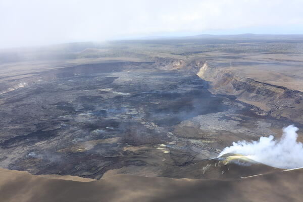
View of volcanic vents degassing within crater
May 22, 2026 — Halemaʻumaʻu crater and degassing vents at Kīlauea summit
Was this page helpful?