April 23, 2021—Kīlauea summit eruption contour map
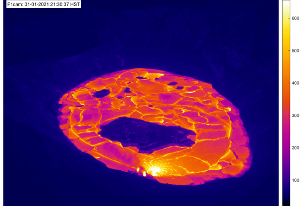
April 23, 2021—Kīlauea summit eruption contour mapThis map of Halema‘uma‘u at the summit of Kīlauea shows 20 m (66 ft) contour lines (dark gray) that mark locations of equal elevation above sea level (asl). The map shows that the lava lake has filled 228 m (748 ft) of the crater, to an elevation of 745 m (2444 ft) asl since the eruption began on December 20, 2020.