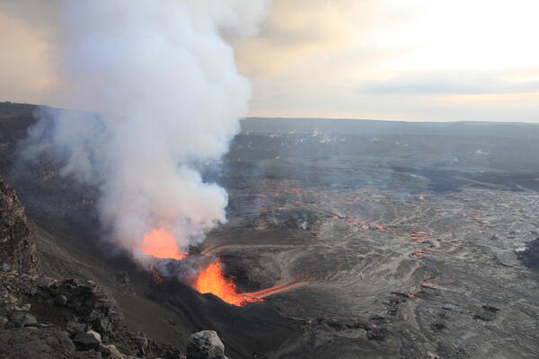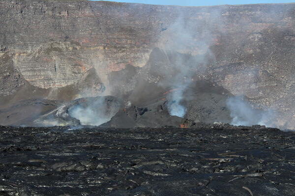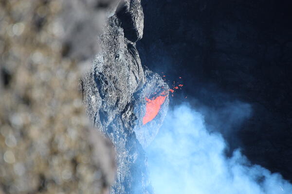
February 3, 2025 — Spatter from Kīlauea's north vent
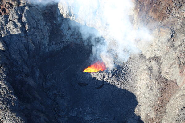
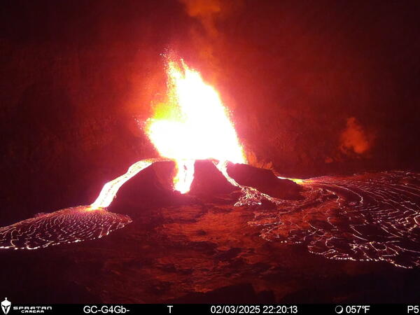
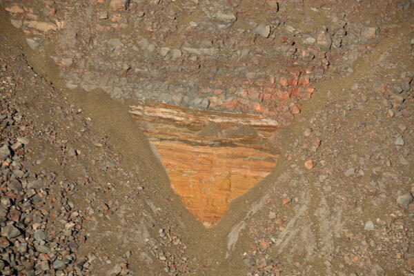
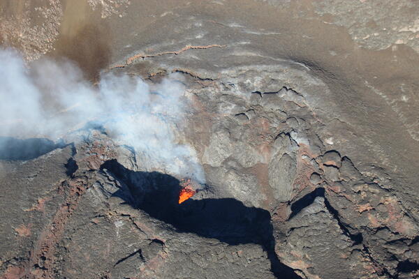
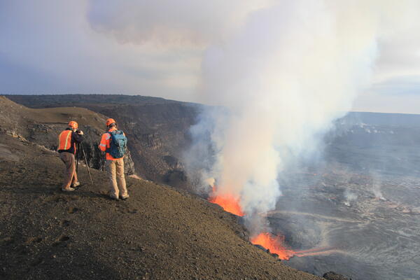
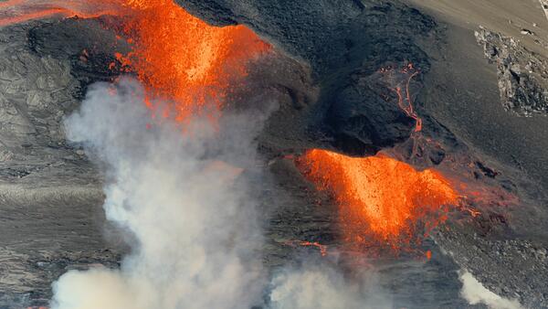
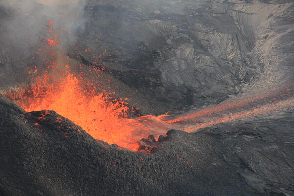
February 3, 2025 — Spatter from Kīlauea's north ventUSGS Hawaiian Volcano Observatory field crews observed weak spattering from the interior of the north vent at Halema‘uma‘u during a Kīlauea summit field shift on February 3, 2025.