
USGS Oklahoma-Texas Water Science Center gaging station camera. USGS Gaging Station 08073000.
Webcams
The USGS maintains a variety of webcams across the U.S. These webcams provide valuable research information and data to the USGS scientists, the National Weather Service, emergency managers, and area residents to evaluate near, real-time conditions during natural hazard events (most webcams refresh every 5 - 20 minutes).
Filter Total Items: 346
Addicks Reservoir near Addicks, TX
USGS Oklahoma-Texas Water Science Center gaging station camera. USGS Gaging Station 08073000.

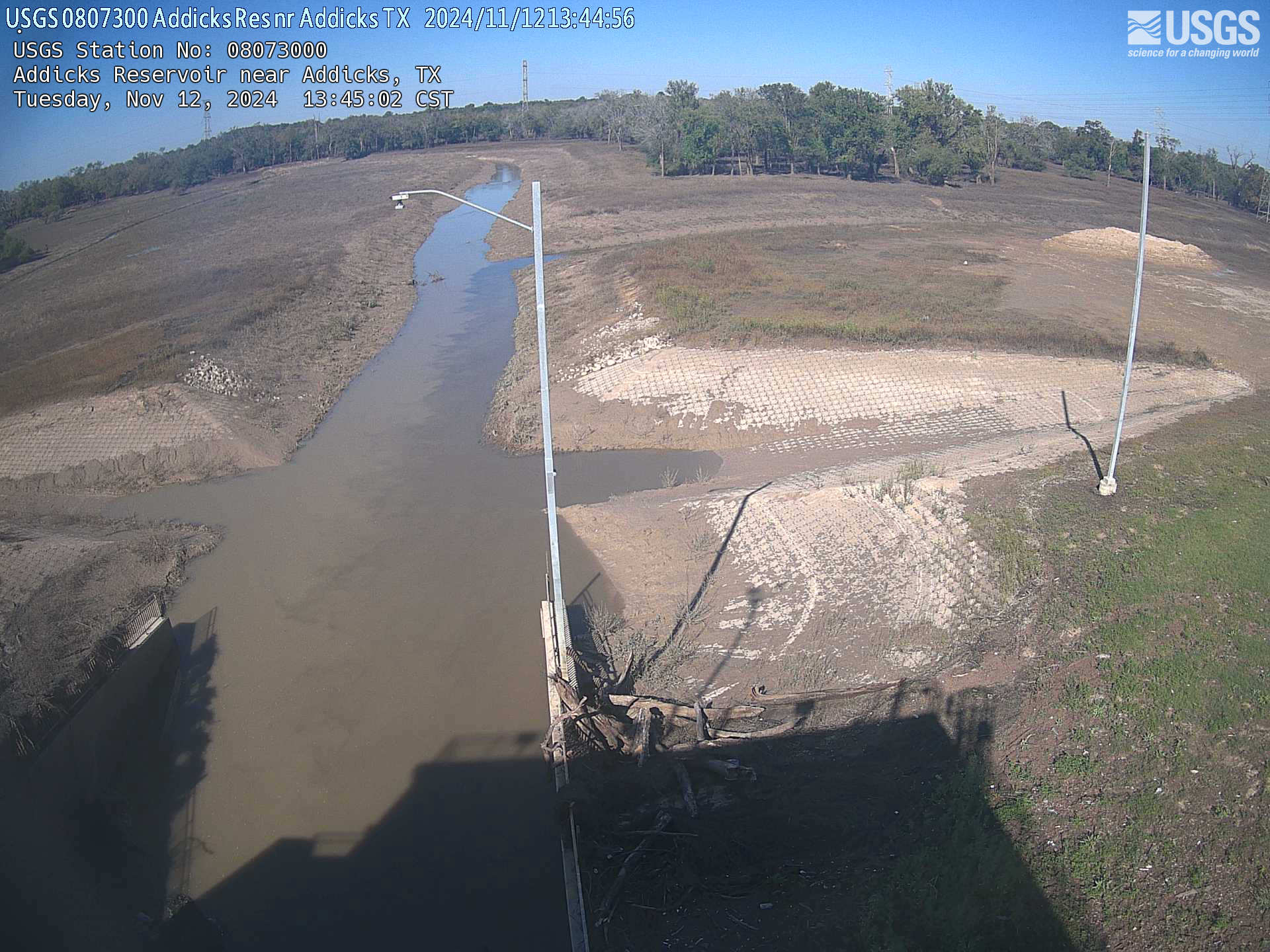
Addicks Reservoir near Addicks outflow culverts (TX)
Addicks Reservoir near Addicks outflow culverts (TX)USGS Oklahoma-Texas Water Science Center gaging station camera. USGS Gaging Station 08073000 .
Addicks Reservoir near Addicks outflow culverts (TX)
Addicks Reservoir near Addicks outflow culverts (TX)USGS Oklahoma-Texas Water Science Center gaging station camera. USGS Gaging Station 08073000 .
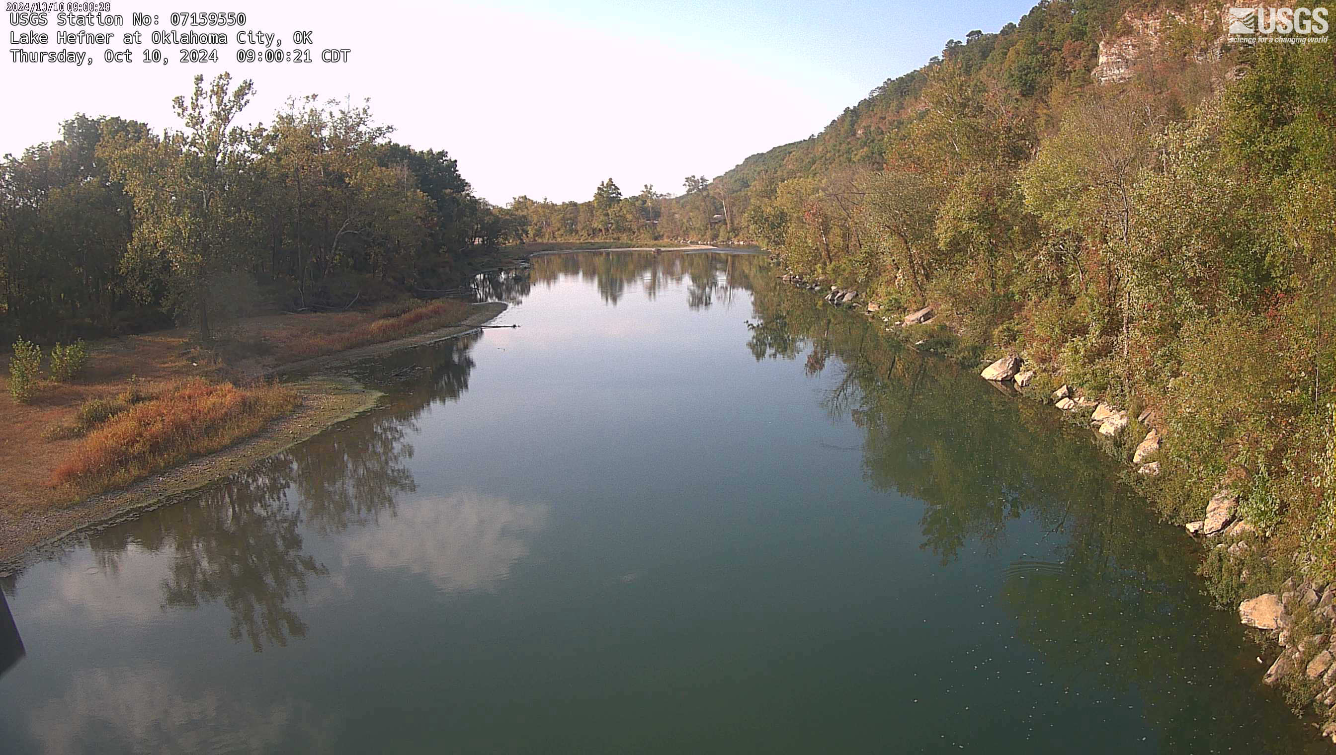
Lake Hefner at Oklahoma City, OK
USGS Oklahoma-Texas Water Science Center gaging station webcam, USGS Gaging Station 07159550
USGS Oklahoma-Texas Water Science Center gaging station webcam, USGS Gaging Station 07159550
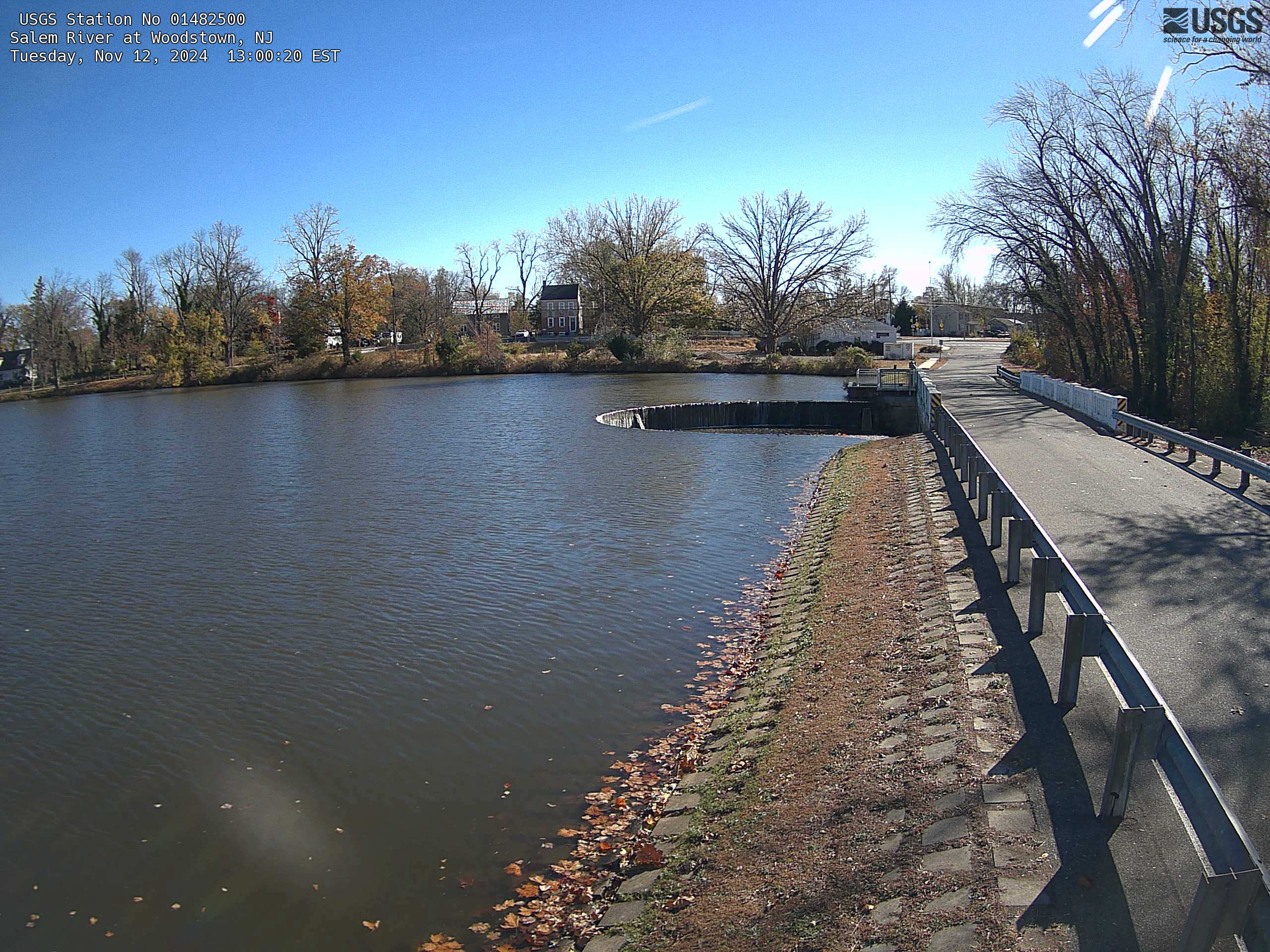
Streamgage 01482500 Salem River at Woodstown, NJ
Webcam at USGS Streamgage 01482500 Salem River at Woodstown, NJ
Visit Water Data For the Nation to get current data for this site.
Webcam at USGS Streamgage 01482500 Salem River at Woodstown, NJ
Visit Water Data For the Nation to get current data for this site.
Trinity River near Rosser, TX
USGS Oklahoma-Texas Water Science Center gaging station camera. USGS Gaging Station 08062500.
USGS Oklahoma-Texas Water Science Center gaging station camera. USGS Gaging Station 08062500.

Clear Fork Trinity River at Ft Worth, TX
USGS Oklahoma-Texas Water Science Center gaging station camera. USGS Gaging Station 08047500.
USGS Oklahoma-Texas Water Science Center gaging station camera. USGS Gaging Station 08047500.

Barker Reservoir near Addicks Outflow Culverts
USGS Oklahoma-Texas Water Science Center gaging station camera. USGS Gaging Station 08072500 .
USGS Oklahoma-Texas Water Science Center gaging station camera. USGS Gaging Station 08072500 .
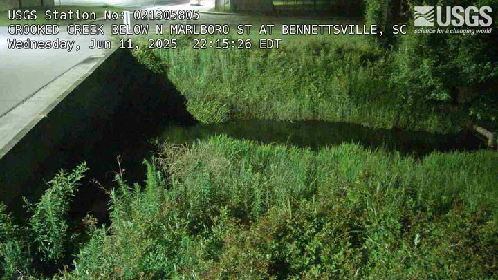
Crooked Creek Below N Marlboro ST at Bennettsville, SC (021305805)
Crooked Creek Below N Marlboro ST at Bennettsville, SC (021305805)We have installed a webcam at Crooked Creek, N. Marlboro St, Bennettsville to allow you to view the current conditions.
Crooked Creek Below N Marlboro ST at Bennettsville, SC (021305805)
Crooked Creek Below N Marlboro ST at Bennettsville, SC (021305805)We have installed a webcam at Crooked Creek, N. Marlboro St, Bennettsville to allow you to view the current conditions.
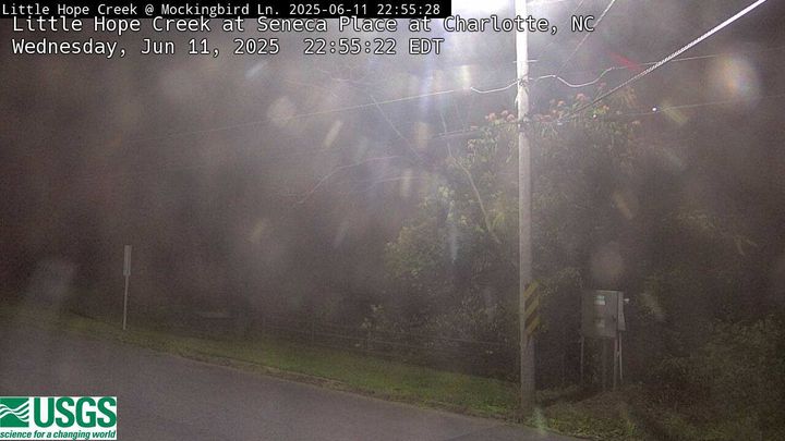
Little Hope Creek at Seneca Place, Charlotte, NC (02146470)
Little Hope Creek at Seneca Place, Charlotte, NC (02146470)We have installed a webcam at Little Hope Creek at Seneca Place, Charlotte, NC to allow you to view the current conditions.
Little Hope Creek at Seneca Place, Charlotte, NC (02146470)
Little Hope Creek at Seneca Place, Charlotte, NC (02146470)We have installed a webcam at Little Hope Creek at Seneca Place, Charlotte, NC to allow you to view the current conditions.
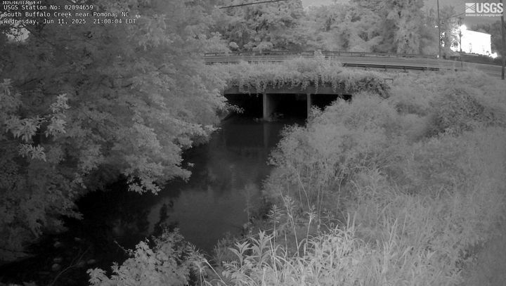
South Buffalo Creek NR Pomona, Greensboro, NC (02094659)
South Buffalo Creek NR Pomona, Greensboro, NC (02094659)We have installed a webcam at South Buffalo Creek, Pomona, NC to allow you to view the current conditions.
South Buffalo Creek NR Pomona, Greensboro, NC (02094659)
South Buffalo Creek NR Pomona, Greensboro, NC (02094659)We have installed a webcam at South Buffalo Creek, Pomona, NC to allow you to view the current conditions.
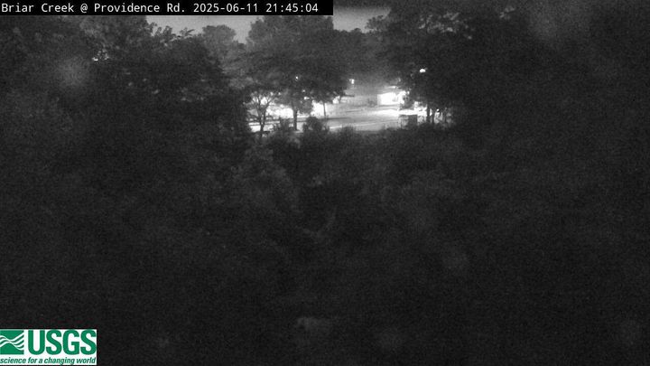
Briar Creek at Providence Road, Charlotte, NC (02146449)
Briar Creek at Providence Road, Charlotte, NC (02146449)We have installed a webcam at Briar Creek at Providence Road, Charlotte, NC to allow you to view the current conditions.
Briar Creek at Providence Road, Charlotte, NC (02146449)
Briar Creek at Providence Road, Charlotte, NC (02146449)We have installed a webcam at Briar Creek at Providence Road, Charlotte, NC to allow you to view the current conditions.
Briar Creek at Shamrock Drive, Charlotte, NC (0214642825)
Briar Creek at Shamrock Drive, Charlotte, NC (0214642825)We have installed a webcam at Briar Creek at Shamrock Drive, Charlotte, NC to allow you to view the current conditions.
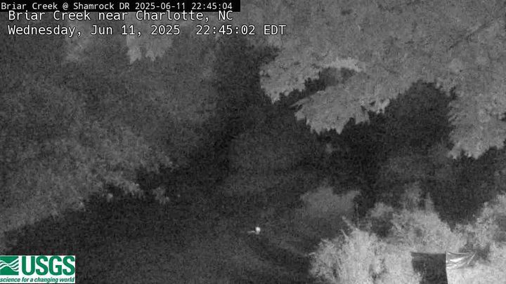
Briar Creek at Shamrock Drive, Charlotte, NC (0214642825)
Briar Creek at Shamrock Drive, Charlotte, NC (0214642825)We have installed a webcam at Briar Creek at Shamrock Drive, Charlotte, NC to allow you to view the current conditions.
McMullen Creek at Lincrest Place, Charlotte, NC (0214668150)
McMullen Creek at Lincrest Place, Charlotte, NC (0214668150)We have installed a webcam at McMullen Creek at Lincrest Place, Charlotte, NC to allow you to view the current conditions.
McMullen Creek at Lincrest Place, Charlotte, NC (0214668150)
McMullen Creek at Lincrest Place, Charlotte, NC (0214668150)We have installed a webcam at McMullen Creek at Lincrest Place, Charlotte, NC to allow you to view the current conditions.
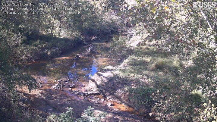
Walnut Creek at South State Street at Raleigh, NC
We have installed a webcam at Walnut Creek at South State Street, Raleigh, NC to allow you to view the current conditions.
We have installed a webcam at Walnut Creek at South State Street, Raleigh, NC to allow you to view the current conditions.
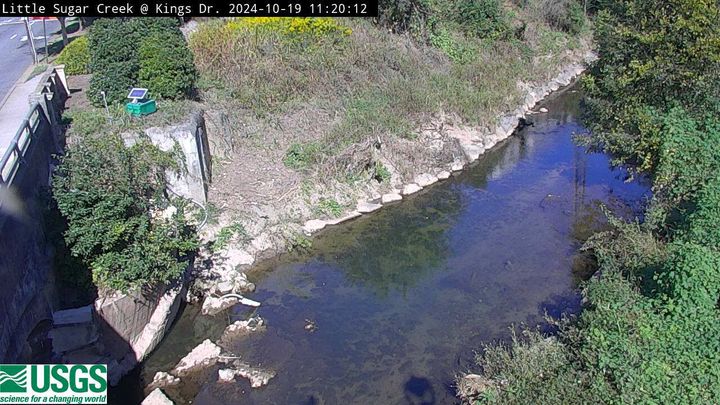
Little Sugar Creek at CMC, Charlotte, NC (02146409)
Little Sugar Creek at CMC, Charlotte, NC (02146409)We have installed a webcam at Little Sugar Creek at CMC, Charlotte, NC to allow you to view (in real time) the current river-stage conditions.
Little Sugar Creek at CMC, Charlotte, NC (02146409)
Little Sugar Creek at CMC, Charlotte, NC (02146409)We have installed a webcam at Little Sugar Creek at CMC, Charlotte, NC to allow you to view (in real time) the current river-stage conditions.
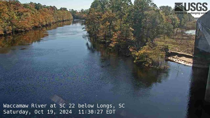
Waccamaw River at SC 22 below Longs, SC (02110525)
Waccamaw River at SC 22 below Longs, SC (02110525)We have installed a webcam at Waccamaw River at SC 22 below Longs, to allow you to view the current conditions.
Waccamaw River at SC 22 below Longs, SC (02110525)
Waccamaw River at SC 22 below Longs, SC (02110525)We have installed a webcam at Waccamaw River at SC 22 below Longs, to allow you to view the current conditions.
Little Peedee River at Galivants Ferry, SC (02135000)
Little Peedee River at Galivants Ferry, SC (02135000)We have installed a webcam at Little Peedee River at Galivants Ferry to allow you to view (in real time) the current conditions.
Little Peedee River at Galivants Ferry, SC (02135000)
Little Peedee River at Galivants Ferry, SC (02135000)We have installed a webcam at Little Peedee River at Galivants Ferry to allow you to view (in real time) the current conditions.
Congaree River below Cayce, SC (021695075, Downstream)
Congaree River below Cayce, SC (021695075, Downstream)We have installed a webcam at Congaree River below Cayce, to allow you to view (in real time) the current conditions.
Congaree River below Cayce, SC (021695075, Downstream)
Congaree River below Cayce, SC (021695075, Downstream)We have installed a webcam at Congaree River below Cayce, to allow you to view (in real time) the current conditions.
Congaree River below Cayce, SC (021695075, Upstream)
Congaree River below Cayce, SC (021695075, Upstream)We have installed a webcam at Congaree River below Cayce, to allow you to view (in real time) the current conditions.
Congaree River below Cayce, SC (021695075, Upstream)
Congaree River below Cayce, SC (021695075, Upstream)We have installed a webcam at Congaree River below Cayce, to allow you to view (in real time) the current conditions.
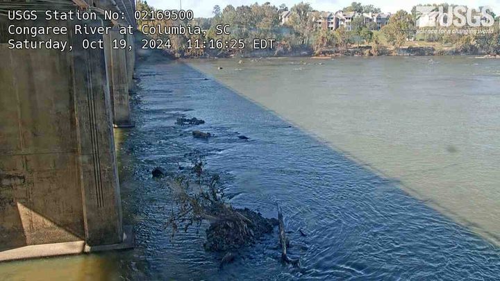
Congaree River at US 321 (Blossom St) near West Columbia, SC (021695002)
Congaree River at US 321 (Blossom St) near West Columbia, SC (021695002)We have installed a webcam at Congaree River at US 321 (Blossom St) to allow you to view (in real time) the current conditions.
Congaree River at US 321 (Blossom St) near West Columbia, SC (021695002)
Congaree River at US 321 (Blossom St) near West Columbia, SC (021695002)We have installed a webcam at Congaree River at US 321 (Blossom St) to allow you to view (in real time) the current conditions.
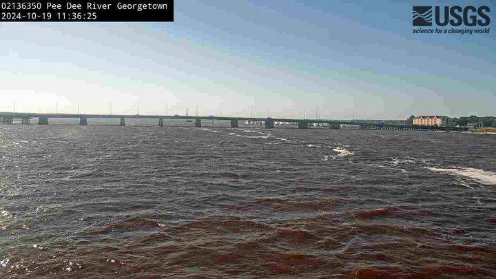
Peedee River at Georgetown, SC (02136350)
We have installed a webcam at Peedee River at Georgetown to allow you to view (in real time) the current conditions.
We have installed a webcam at Peedee River at Georgetown to allow you to view (in real time) the current conditions.