
Most recent imagery from the webcam at The Glade. Visit the webcam site for previous images, timelapse video, and measured parameters.
Webcams
The USGS maintains a variety of webcams across the U.S. These webcams provide valuable research information and data to the USGS scientists, the National Weather Service, emergency managers, and area residents to evaluate near, real-time conditions during natural hazard events (most webcams refresh every 5 - 20 minutes).
Filter Total Items: 346
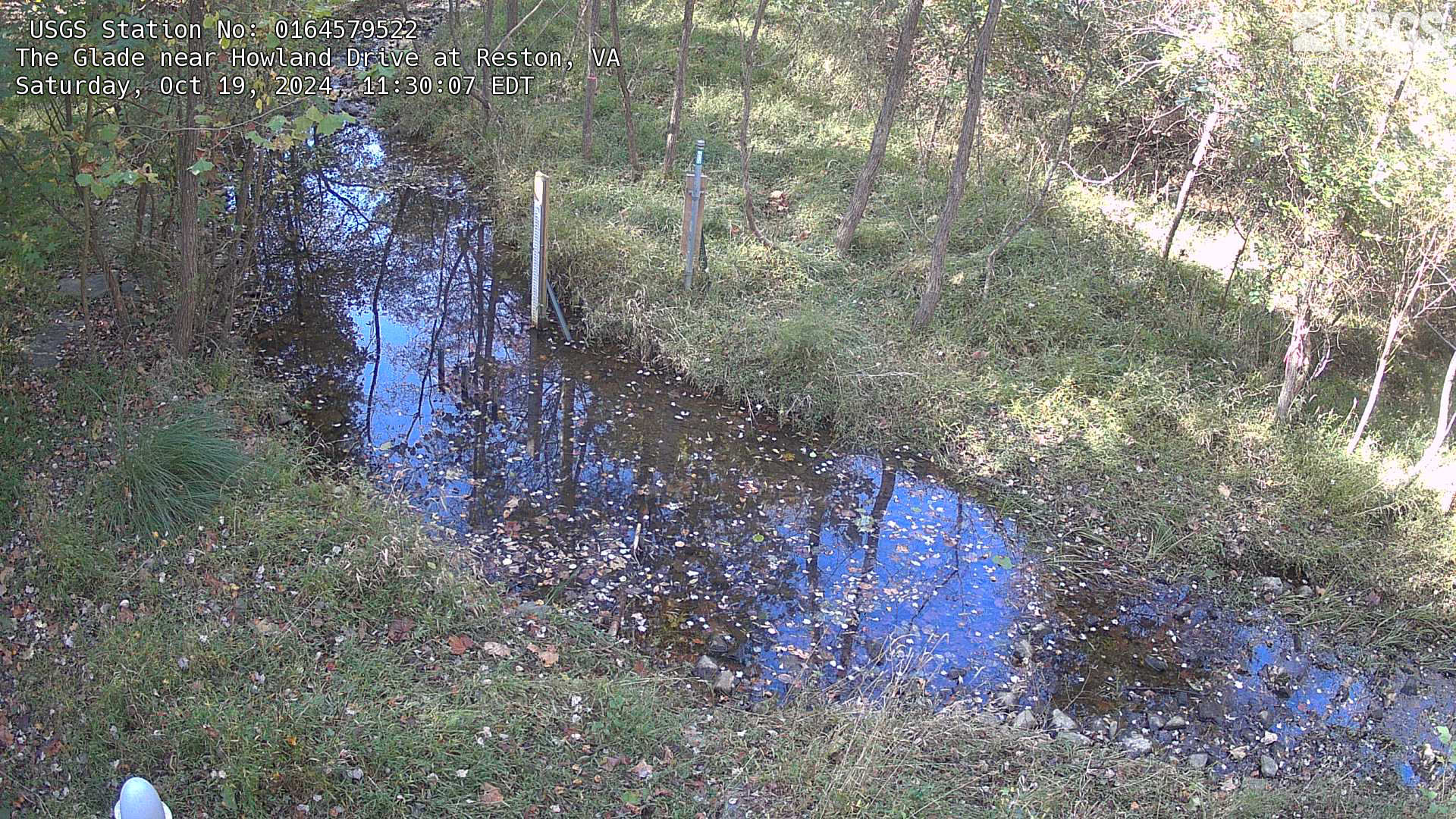
The Glade in Reston, Virginia
Most recent imagery from the webcam at The Glade. Visit the webcam site for previous images, timelapse video, and measured parameters.
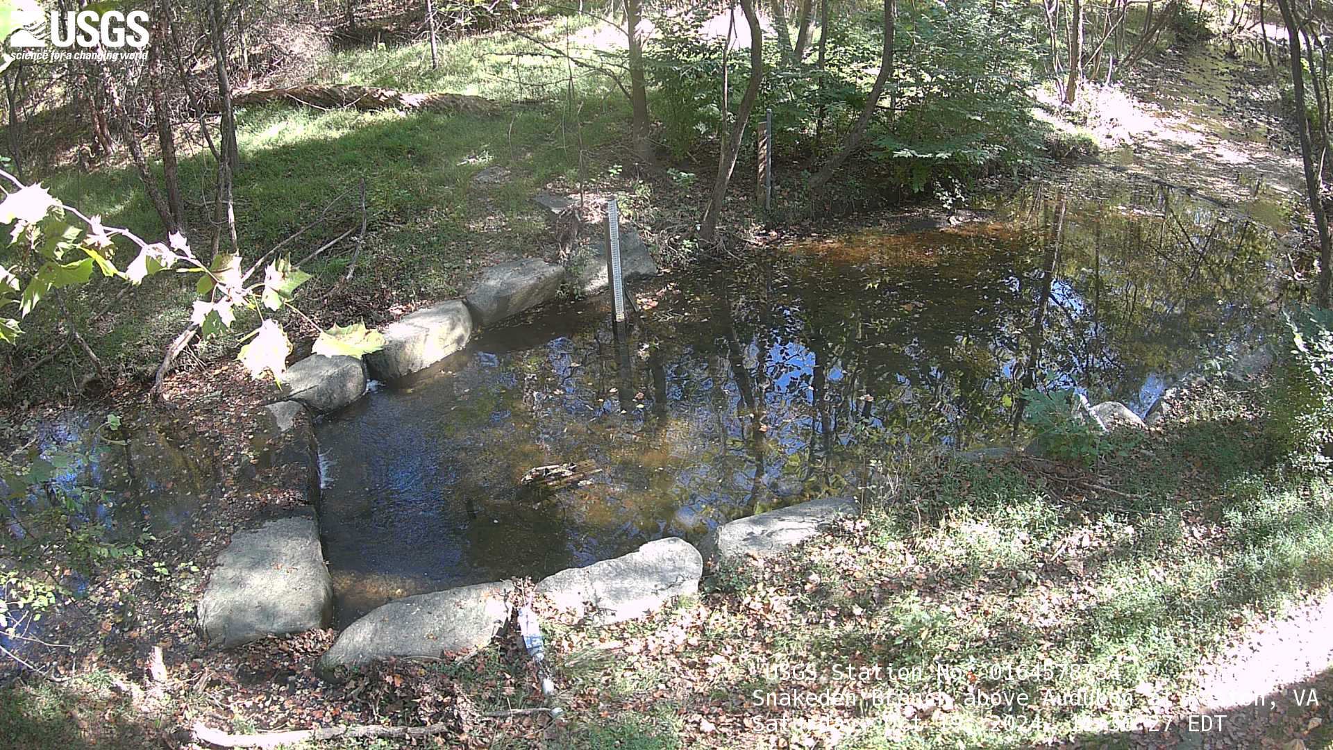
Snakeden Branch in Reston, Virginia
Most recent imagery from the webcam at Snakeden Branch in Reston, Virginia.
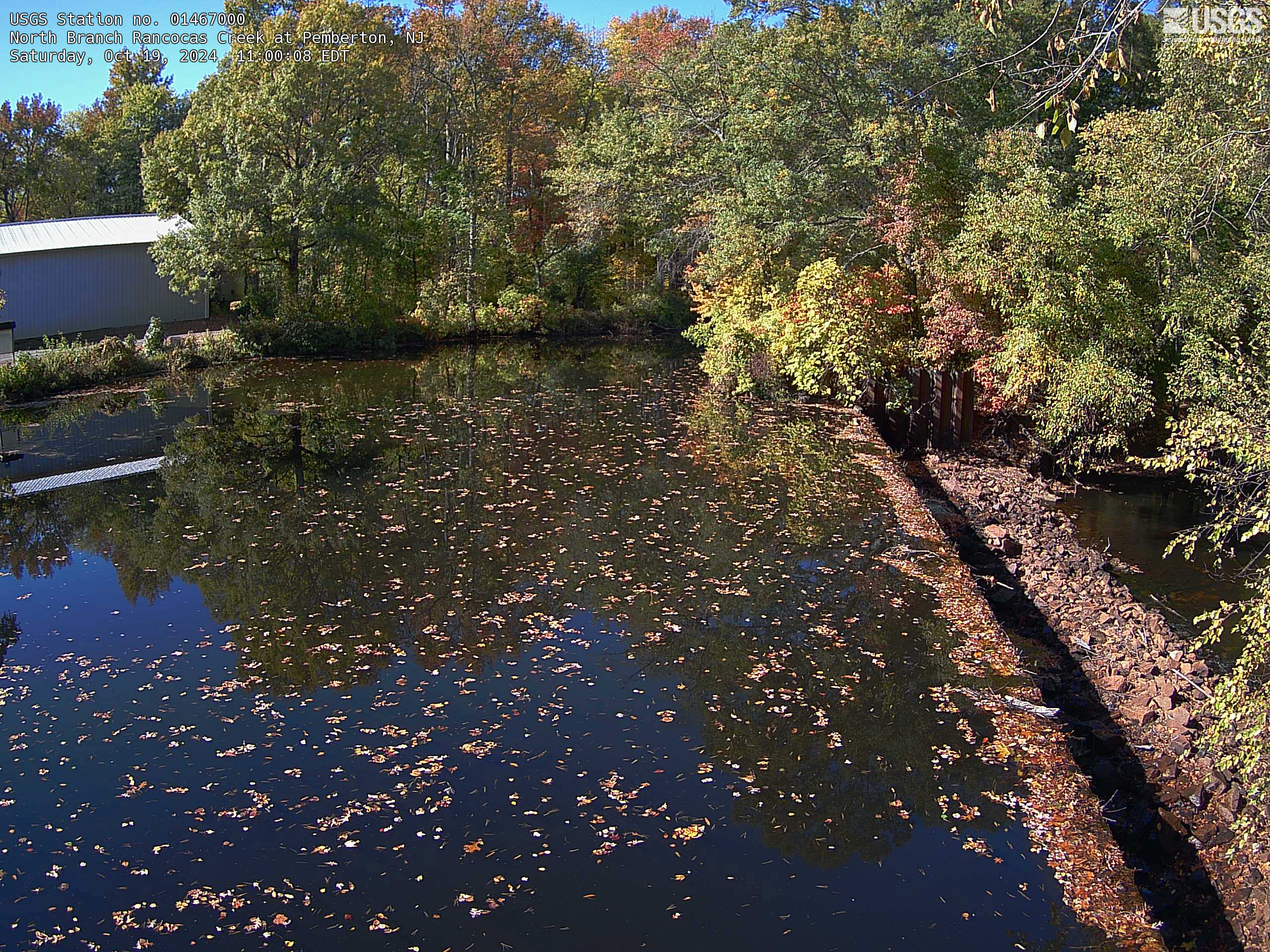
Streamgage 01467000 North Branch Rancocas Creek at Pemberton, NJ
Streamgage 01467000 North Branch Rancocas Creek at Pemberton, NJWebcam at USGS Streamgage 01467000 North Branch Rancocas Creek at Pemberton, NJ
Streamgage 01467000 North Branch Rancocas Creek at Pemberton, NJ
Streamgage 01467000 North Branch Rancocas Creek at Pemberton, NJWebcam at USGS Streamgage 01467000 North Branch Rancocas Creek at Pemberton, NJ
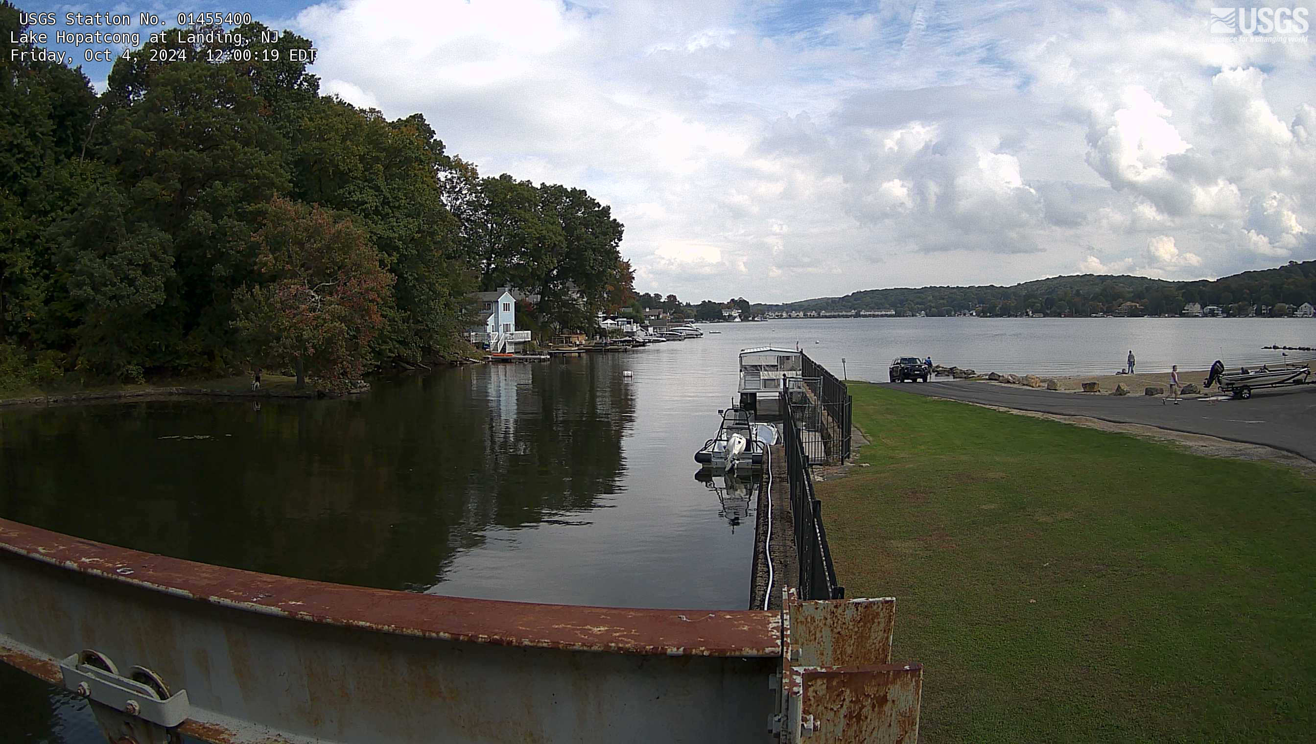
Streamgage 01455400 Lake Hopatcong at Landing, NJ
Webcam at USGS Streamgage 01455400 Lake Hopatcong at Landing, NJ
Visit Water Data For the Nation to get current data for this site.
Webcam at USGS Streamgage 01455400 Lake Hopatcong at Landing, NJ
Visit Water Data For the Nation to get current data for this site.
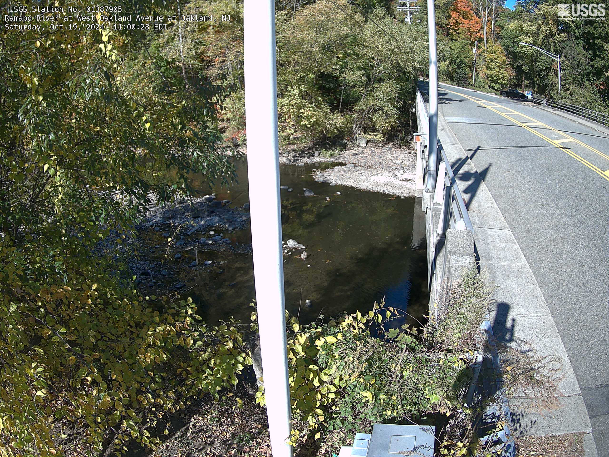
Streamgage 01387905 Ramapo River at West Oakland Avenue at Oakland, NJ
Streamgage 01387905 Ramapo River at West Oakland Avenue at Oakland, NJWebcam at USGS Streamgage 01387905 Ramapo River at West Oakland Avenue at Oakland, NJ
Streamgage 01387905 Ramapo River at West Oakland Avenue at Oakland, NJ
Streamgage 01387905 Ramapo River at West Oakland Avenue at Oakland, NJWebcam at USGS Streamgage 01387905 Ramapo River at West Oakland Avenue at Oakland, NJ
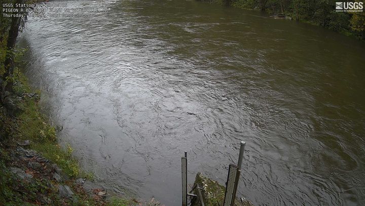
Pigeon River below Power Plant near Waterville, NC
Pigeon River below Power Plant near Waterville, NCLatest image from the webcam at Pigeon River below Power Plant near Waterville, NC. Visit water data details for this location at USGS site number 03460795.
Pigeon River below Power Plant near Waterville, NC
Pigeon River below Power Plant near Waterville, NCLatest image from the webcam at Pigeon River below Power Plant near Waterville, NC. Visit water data details for this location at USGS site number 03460795.
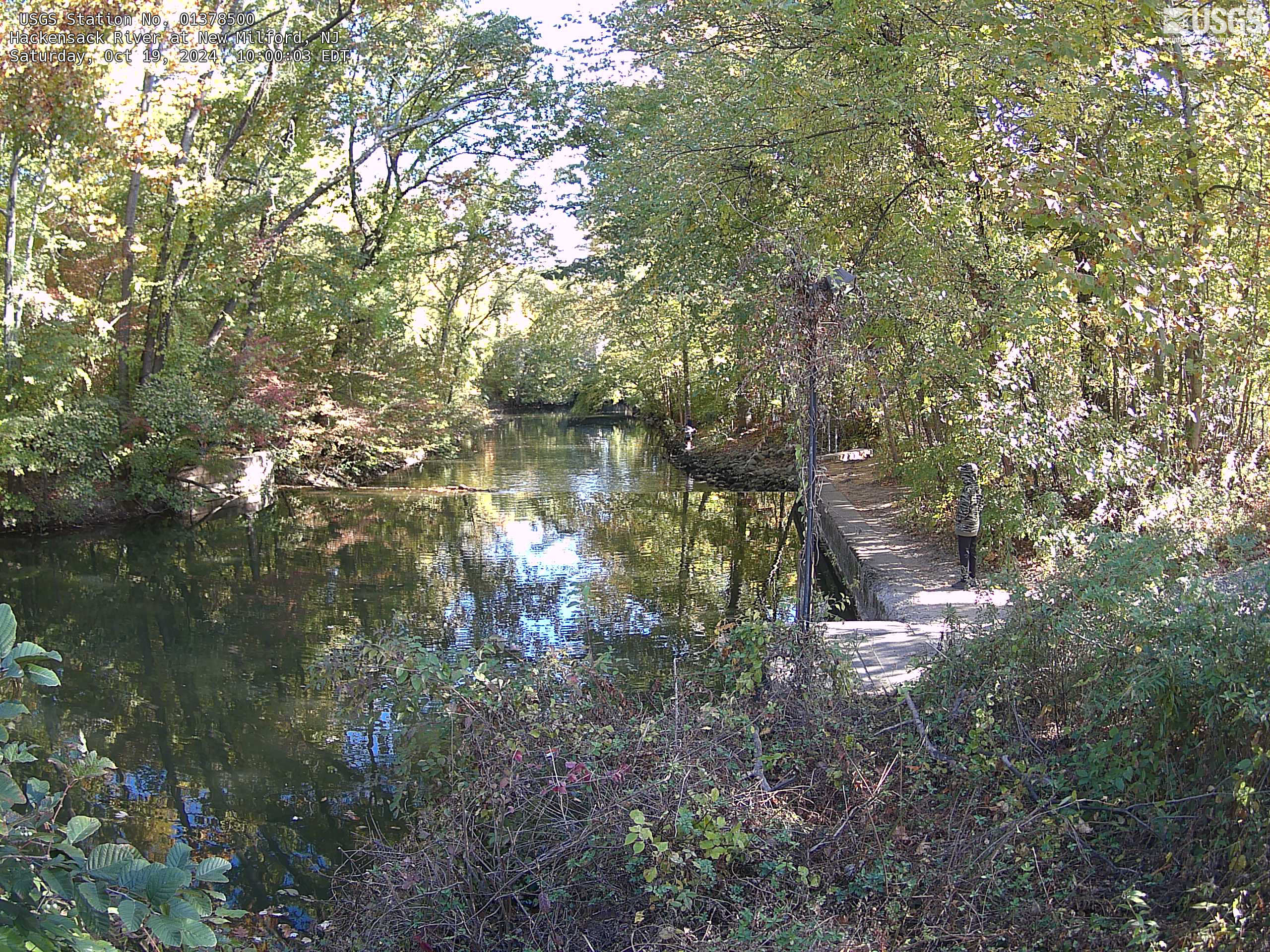
Streamgage 01378500 Hackensack River at New Milford, NJ
Streamgage 01378500 Hackensack River at New Milford, NJWebcam at USGS Streamgage 01378500 Hackensack River at New Milford, NJ
Visit Water Data For the Nation to get current data for this site.
Streamgage 01378500 Hackensack River at New Milford, NJ
Streamgage 01378500 Hackensack River at New Milford, NJWebcam at USGS Streamgage 01378500 Hackensack River at New Milford, NJ
Visit Water Data For the Nation to get current data for this site.
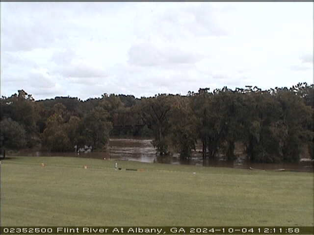
Flint River at Albany (02352500)
We have installed a webcam at the Flint River at Albany to allow you to view, in real time, the current river-stage conditions.
During periods of flooding, the South Atlantic Water Science Center - Georgia will take control of the camera.
We have installed a webcam at the Flint River at Albany to allow you to view, in real time, the current river-stage conditions.
During periods of flooding, the South Atlantic Water Science Center - Georgia will take control of the camera.

Tearcoat Branch at I-95, near Manning (021355015, Upstream)
Tearcoat Branch at I-95, near Manning (021355015, Upstream)We have installed a webcam at Tearcoat Branch at I-95, near Manning to allow you to view (in real time) the current river-stage conditions.
During periods of flooding, the South Atlantic Water Science Center will take control of the camera.
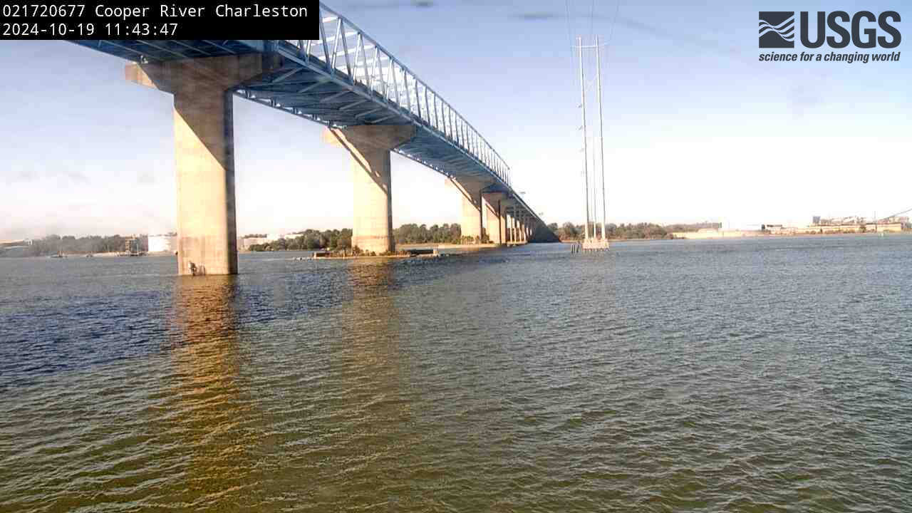
Cooper River at Filbin Creek at North Charleston (021720677)
Cooper River at Filbin Creek at North Charleston (021720677)We have installed a webcam at Cooper River at Filbin Creek at North Charleston to allow you to view (in real time) the current conditions.
Cooper River at Filbin Creek at North Charleston (021720677)
Cooper River at Filbin Creek at North Charleston (021720677)We have installed a webcam at Cooper River at Filbin Creek at North Charleston to allow you to view (in real time) the current conditions.
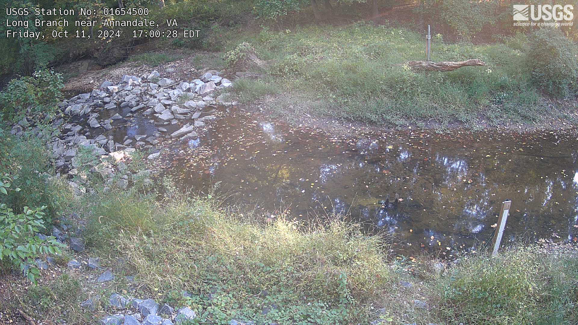
Long Branch near Annandale, Virginia
Most recent imagery of the Long Branch stream in Fairfax VA. Visit the webcam site for previous images, timelapse video, and measured parameters.
This webcam is a part of the Fairfax County Water Resources Monitoring Network.
Most recent imagery of the Long Branch stream in Fairfax VA. Visit the webcam site for previous images, timelapse video, and measured parameters.
This webcam is a part of the Fairfax County Water Resources Monitoring Network.
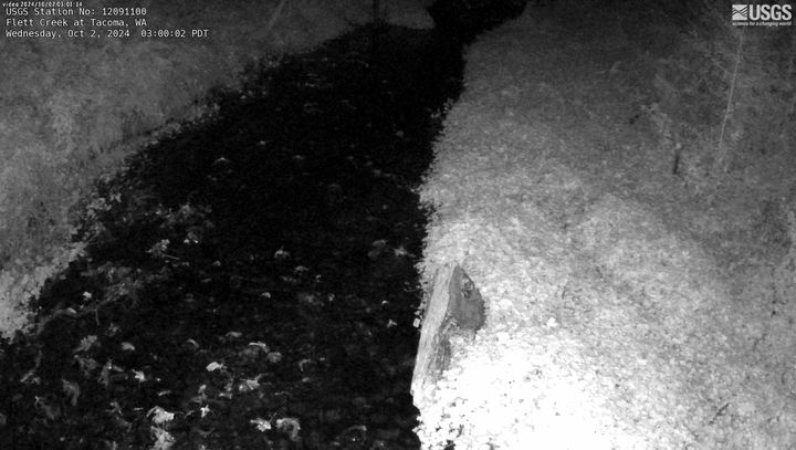
Flett Creek at Tacoma, WA
This webcam is located at USGS streamgage Flett Creek at Tacoma, WA - 12091100. Near real-time flow and water temperature data are available at this location. Water data back to 1989 are available online.
This webcam is located at USGS streamgage Flett Creek at Tacoma, WA - 12091100. Near real-time flow and water temperature data are available at this location. Water data back to 1989 are available online.
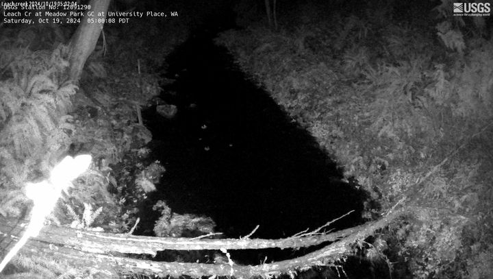
Leach CR at Meadow Park GC at University Place, WA
Leach CR at Meadow Park GC at University Place, WAThis webcam is located at USGS streamgage Leach CR at Meadow Park GC at University Place, WA - 12091290. Near real-time flow data are seasonally available at this location. Water data back to 2005 are available online.
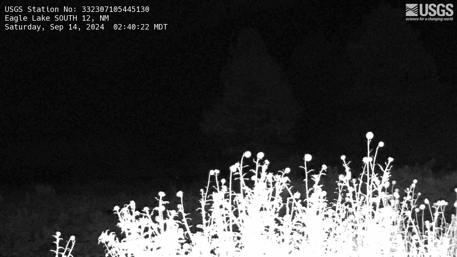
Eagle Lake South 12, NM Webcam
This is a webcam near the Eagle Lake South 12 streamgage (USGS Site: 332307105445130) west of Alto, New Mexico. Still images are collected every five minutes and available as a timelapse of the previous 30-day period.
This is a webcam near the Eagle Lake South 12 streamgage (USGS Site: 332307105445130) west of Alto, New Mexico. Still images are collected every five minutes and available as a timelapse of the previous 30-day period.
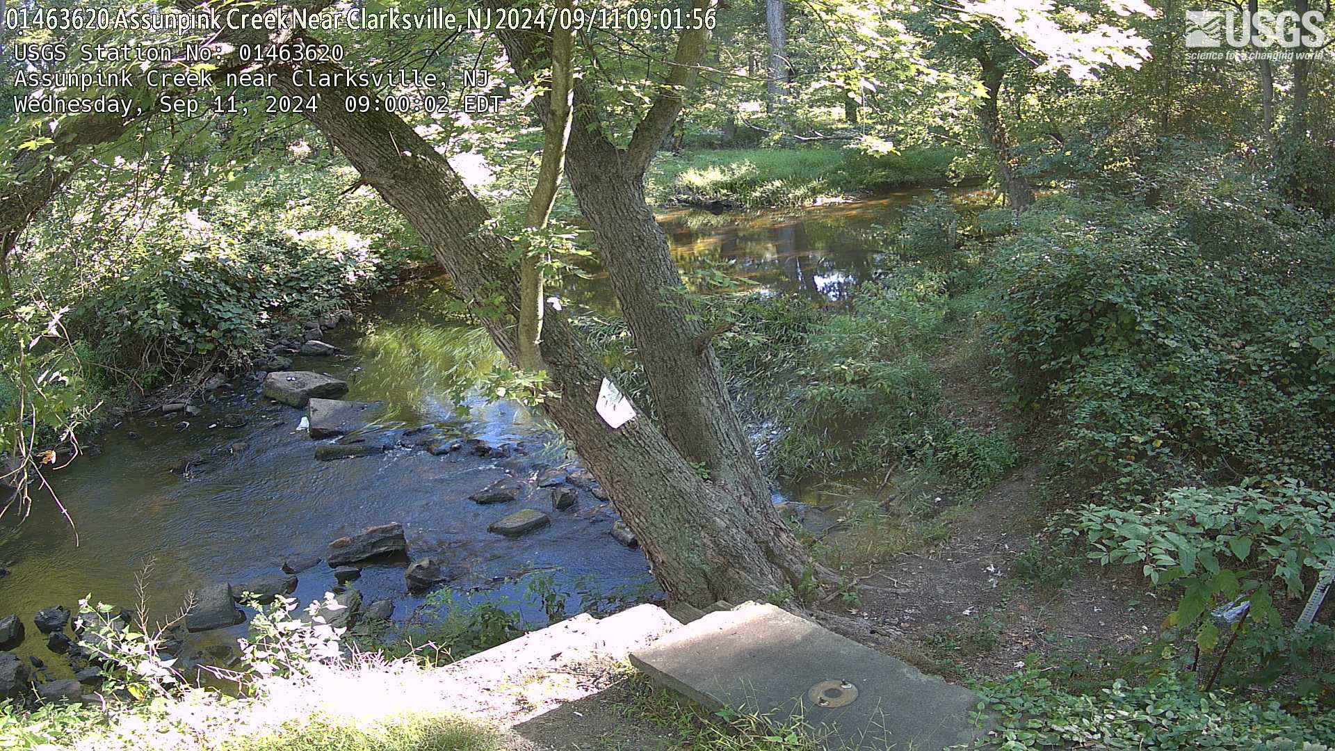
Streamgage 01463620 Assunpink Creek near Clarksville, NJ
Streamgage 01463620 Assunpink Creek near Clarksville, NJWebcam at USGS Streamgage 01463620 Assunpink Creek near Clarksville, NJ
Visit Water Data For the Nation to get current data for this site.
Streamgage 01463620 Assunpink Creek near Clarksville, NJ
Streamgage 01463620 Assunpink Creek near Clarksville, NJWebcam at USGS Streamgage 01463620 Assunpink Creek near Clarksville, NJ
Visit Water Data For the Nation to get current data for this site.
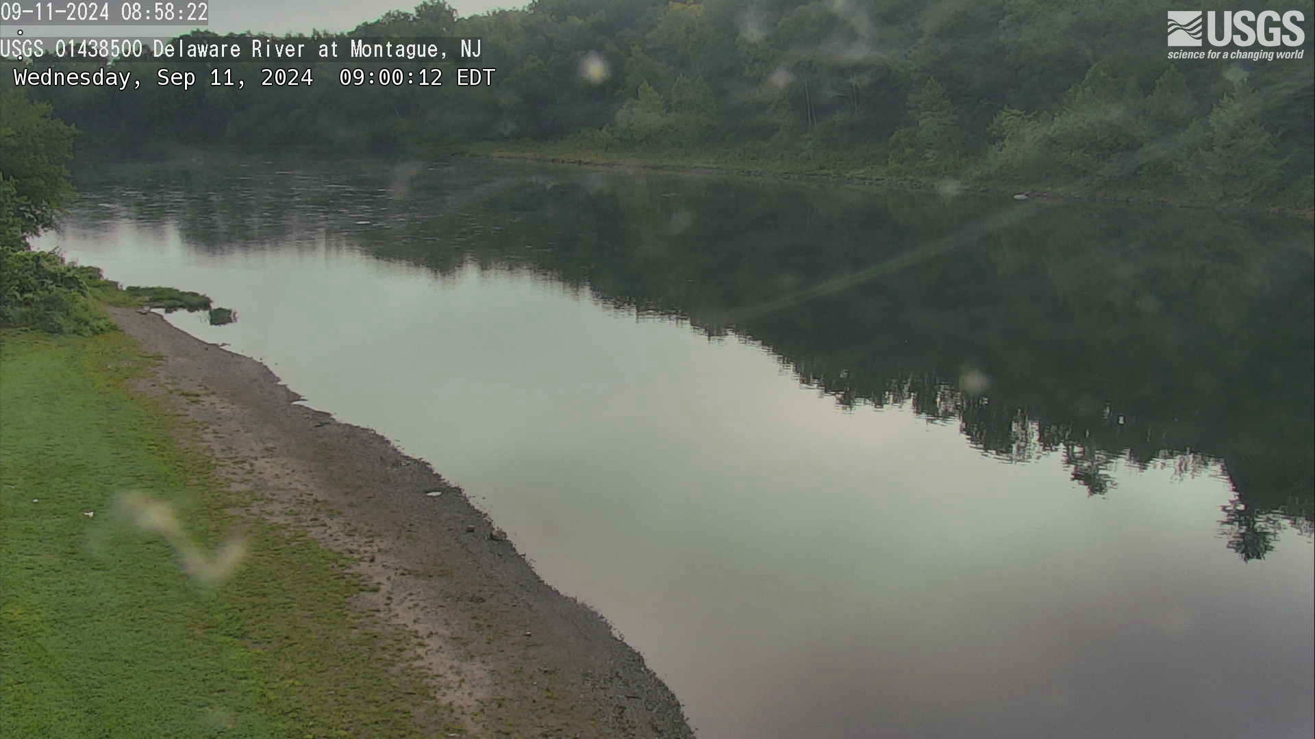
Streamgage 01438500 Delaware River at Montague, NJ
Streamgage 01438500 Delaware River at Montague, NJWebcam at USGS Streamgage 01438500 Delaware River at Montague NJ
Visit Water Data For the Nation to get current data for this site.
Streamgage 01438500 Delaware River at Montague, NJ
Streamgage 01438500 Delaware River at Montague, NJWebcam at USGS Streamgage 01438500 Delaware River at Montague NJ
Visit Water Data For the Nation to get current data for this site.
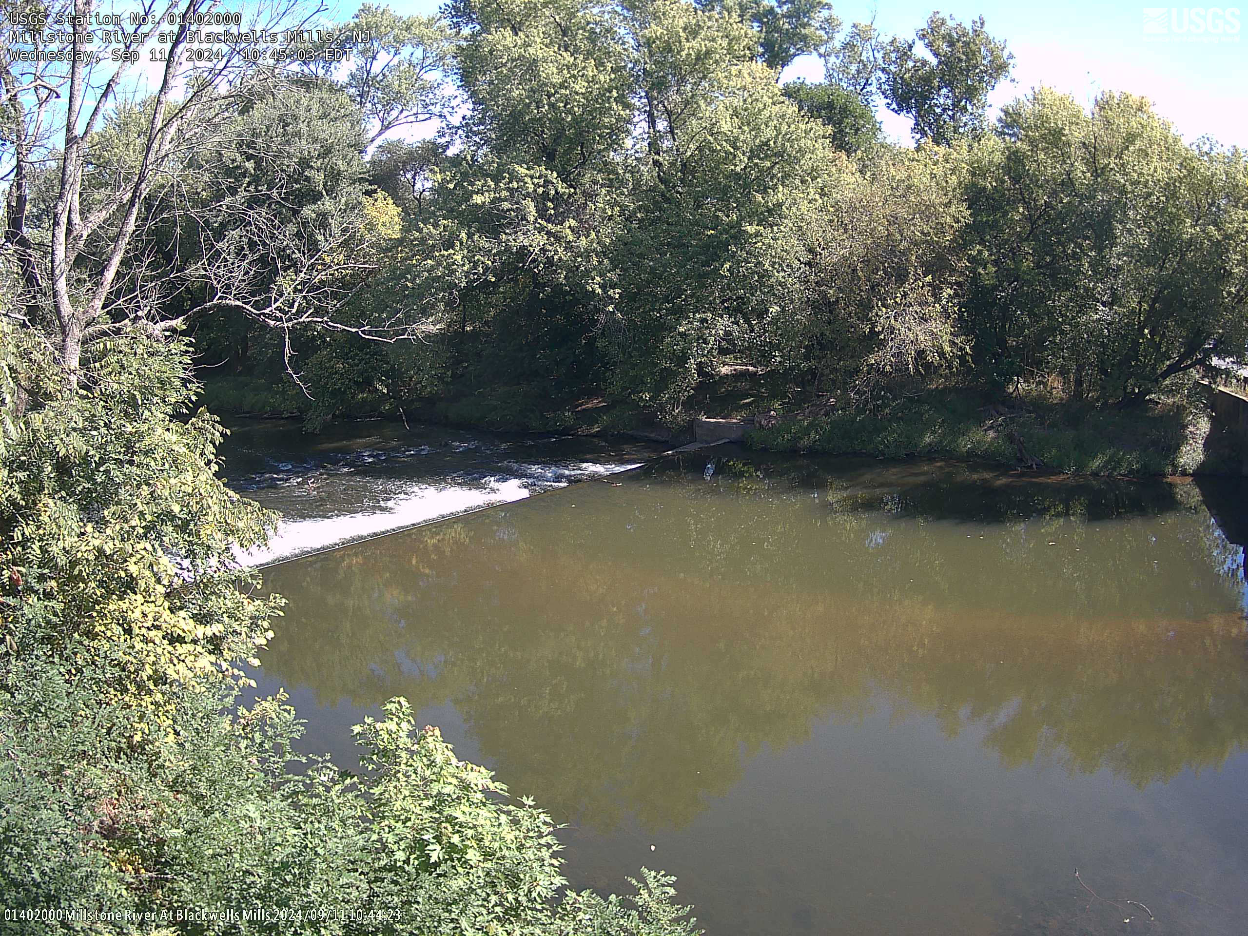
Streamgage 01402000 Millstone River at Blackwells Mills, NJ
Streamgage 01402000 Millstone River at Blackwells Mills, NJWebcam at USGS Streamgage 01402000 Millstone River at Blackwells Mills, NJ
Visit Water Data For the Nation to get current data for this site.
Streamgage 01402000 Millstone River at Blackwells Mills, NJ
Streamgage 01402000 Millstone River at Blackwells Mills, NJWebcam at USGS Streamgage 01402000 Millstone River at Blackwells Mills, NJ
Visit Water Data For the Nation to get current data for this site.
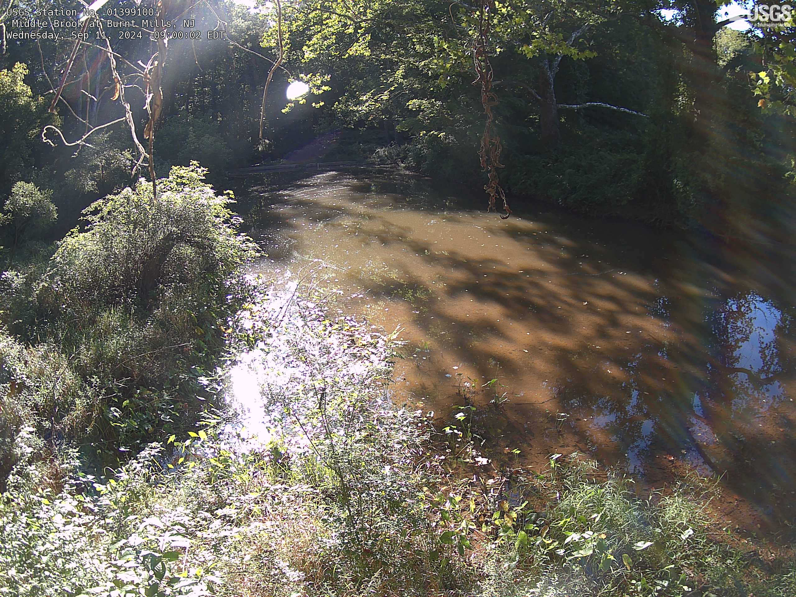
Streamgage 01399100 Middle Brook at Burnt Mills, NJ
Streamgage 01399100 Middle Brook at Burnt Mills, NJWebcam at USGS Streamgage 01399100 Middle Brook at Burnt Mills, NJ
Visit Water Data For the Nation to get current data for this site.
Streamgage 01399100 Middle Brook at Burnt Mills, NJ
Streamgage 01399100 Middle Brook at Burnt Mills, NJWebcam at USGS Streamgage 01399100 Middle Brook at Burnt Mills, NJ
Visit Water Data For the Nation to get current data for this site.
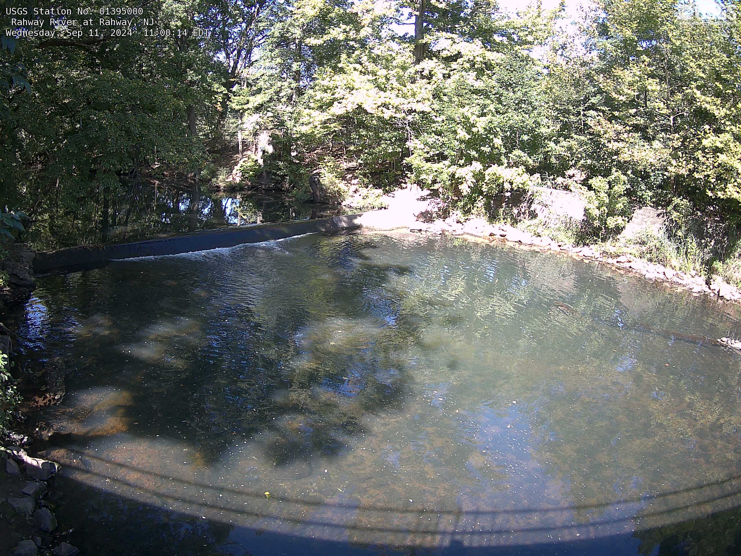
Streamgage 01395000 Rahway River at Rahway, NJ
Webcam at USGS Streamgage 01395000 Rahway River at Rahway, NJ
Visit Water Data For the Nation to get current data for this site.
Webcam at USGS Streamgage 01395000 Rahway River at Rahway, NJ
Visit Water Data For the Nation to get current data for this site.
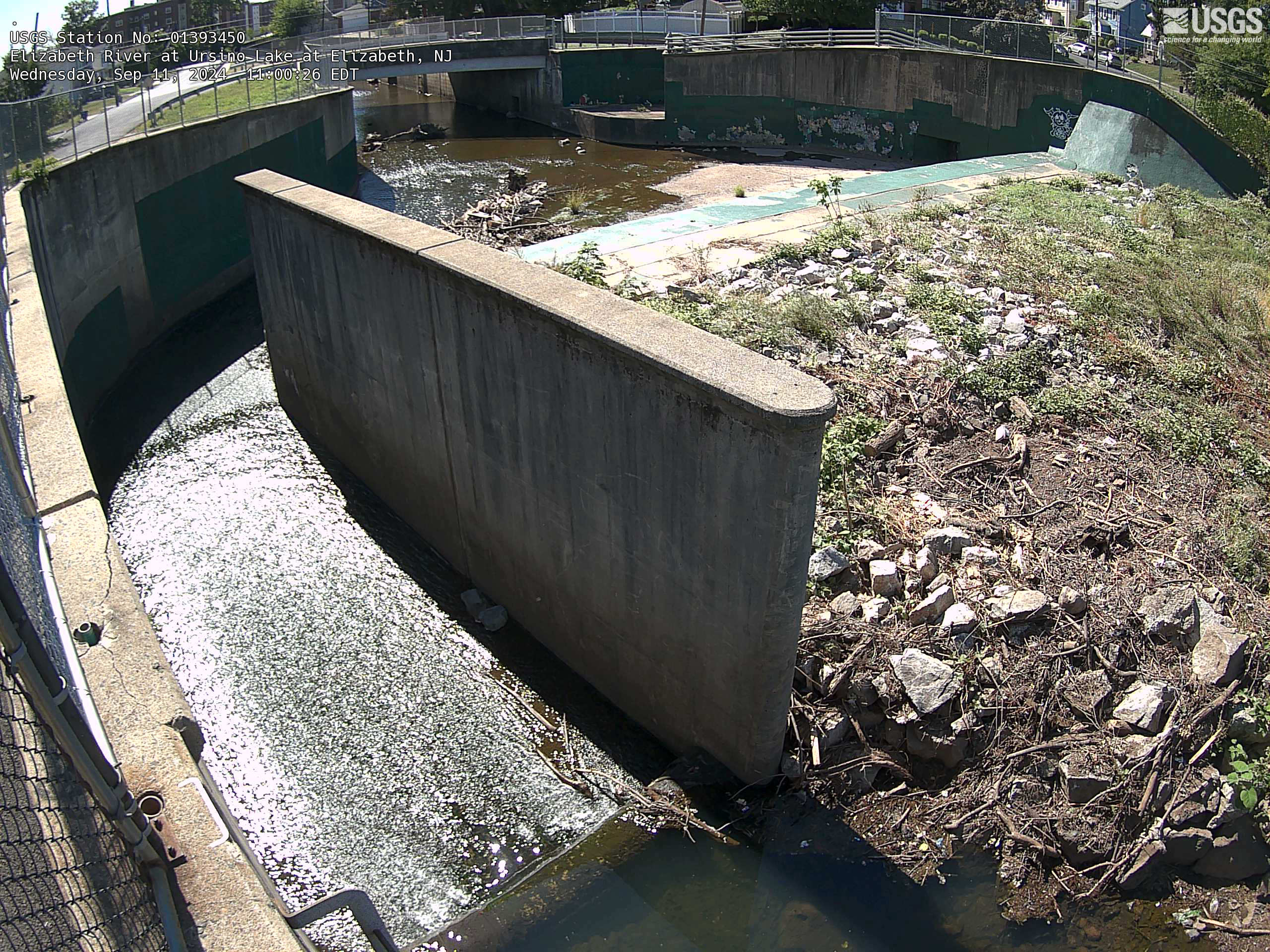
Streamgage 01393450 Elizabeth River at Ursino Lake at Elizabeth, NJ
Streamgage 01393450 Elizabeth River at Ursino Lake at Elizabeth, NJWebcam at USGS Streamgage 01393450 Elizabeth River at Ursino Lake at Elizabeth, NJ
Visit Water Data For the Nation to get current data for this site.
Streamgage 01393450 Elizabeth River at Ursino Lake at Elizabeth, NJ
Streamgage 01393450 Elizabeth River at Ursino Lake at Elizabeth, NJWebcam at USGS Streamgage 01393450 Elizabeth River at Ursino Lake at Elizabeth, NJ
Visit Water Data For the Nation to get current data for this site.
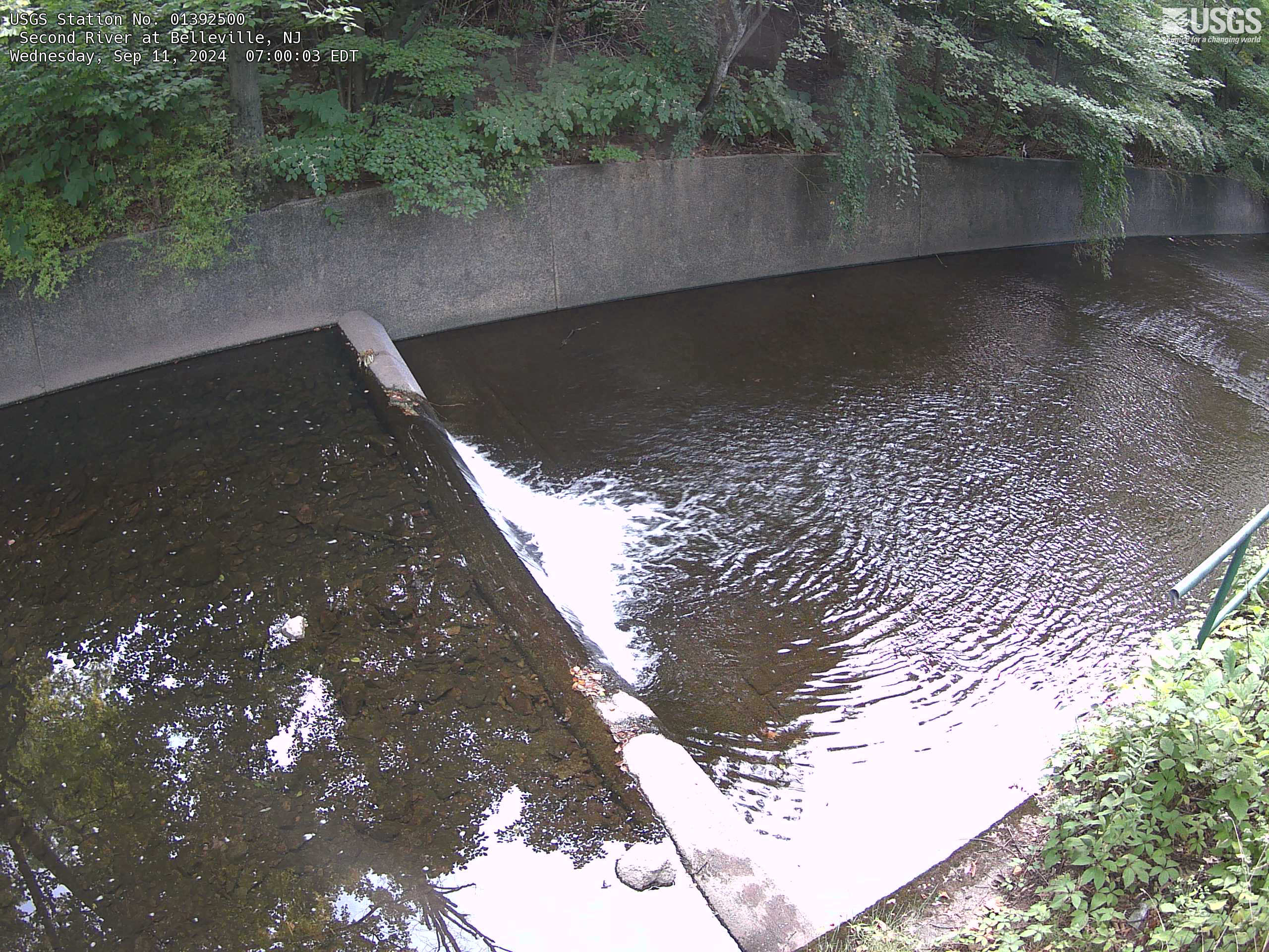
Streamgage 01392500 Second River at Bellville, NJ
Webcam at USGS Streamgage 01392500 Second River at Bellville, NJ
Visit Water Data For the Nation to get current data for this site.
Webcam at USGS Streamgage 01392500 Second River at Bellville, NJ
Visit Water Data For the Nation to get current data for this site.