U.S. flag

An official website of the United States government

Webcams

The USGS maintains a variety of webcams across the U.S. These webcams provide valuable research information and data to the USGS scientists, the National Weather Service, emergency managers, and area residents to evaluate near, real-time conditions during natural hazard events (most webcams refresh every 5 - 20 minutes).

Filter Total Items: 351
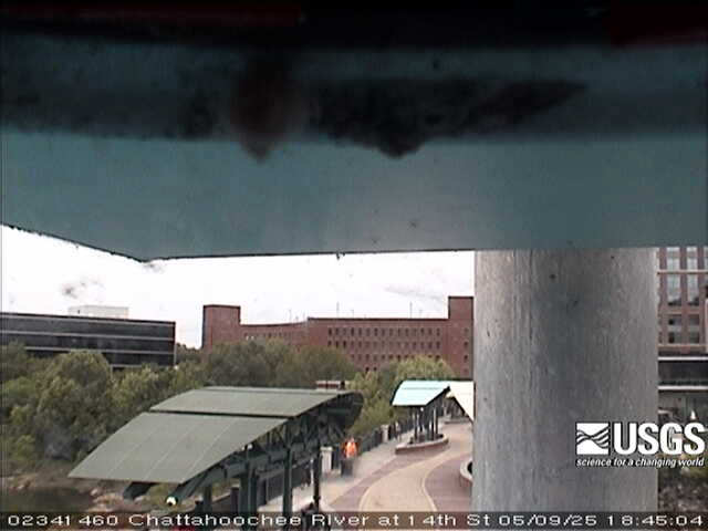
Chattahoochee River at 14th St, at Columbus
Chattahoochee River at 14th St, at Columbus (02341460)

We have installed a webcam at the Chattahoochee River at 14th St, at Columbus to allow you to view, in real time, the current river-stage conditions.

During periods of flooding, the South Atlantic Water Science Center - Georgia will take control of the camera.

Sponsors
We have installed a webcam at the Chattahoochee River at 14th St, at Columbus to allow you to view, in real time, the current river-stage conditions.

During periods of flooding, the South Atlantic Water Science Center - Georgia will take control of the camera.

Sponsors
View from webcam
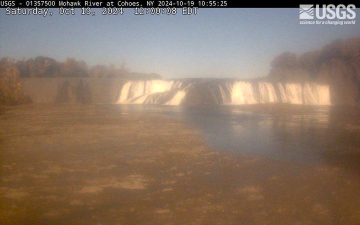
Cohoes Falls, NY (01357500)

Cohoes Falls upstream from USGS gaging station

PLEASE NOTE: During winter months, ice and snow can affect the picture quality. The camera is cleaned as often as it is safe to do so.

Mohawk River at Cohoes, NY (01357500)

Cohoes Falls upstream from USGS gaging station

PLEASE NOTE: During winter months, ice and snow can affect the picture quality. The camera is cleaned as often as it is safe to do so.

Mohawk River at Cohoes, NY (01357500)

Looking over the river with a bridge crossing in the distance and buildings to the right
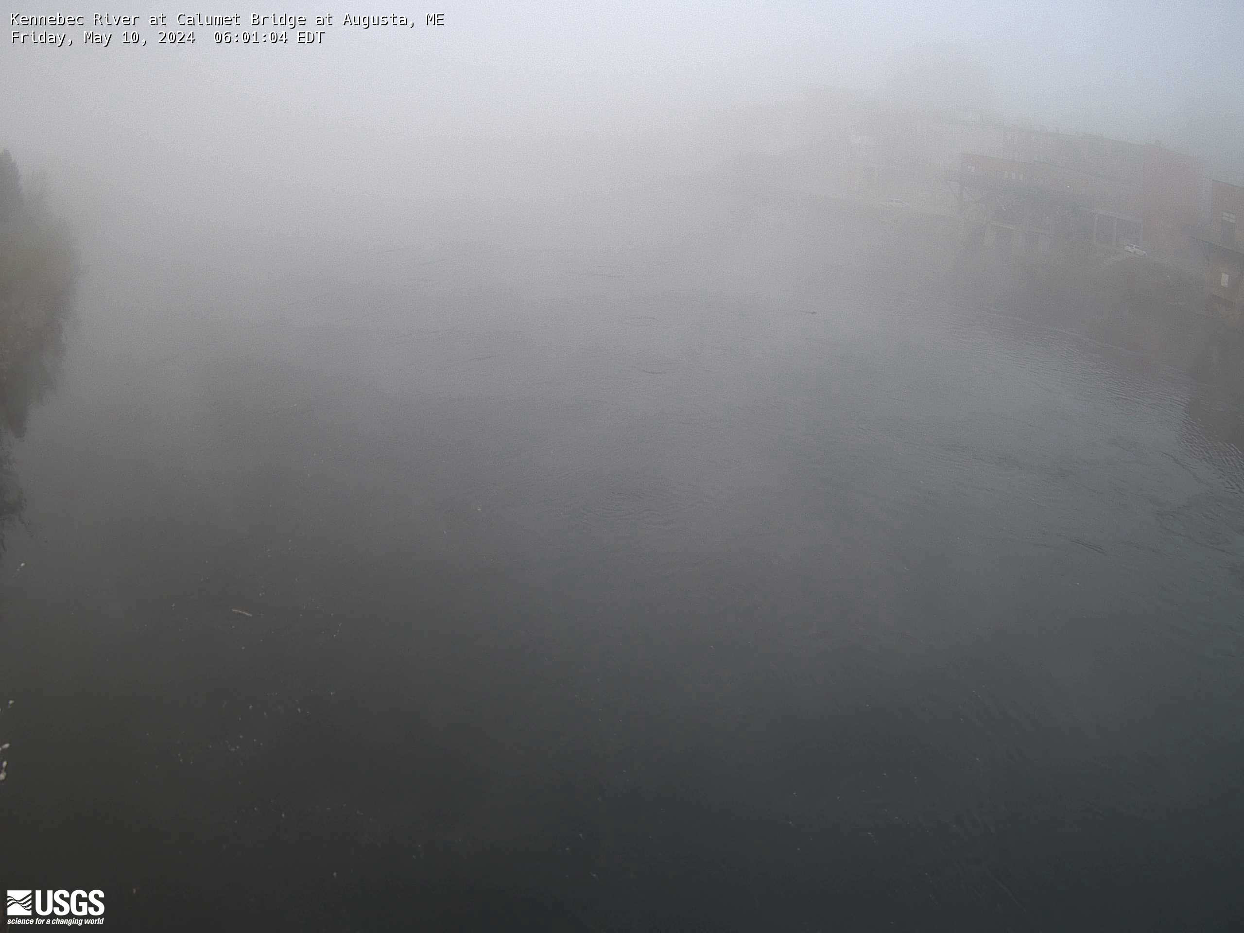
Kennebec River at Calumet Bridge at Augusta, Maine (01049320)

Kennebec River at Calumet Bridge at Augusta, Maine (01049320)


Station operated in cooperation with the Maine Emergency Management Agency and the Maine River Flow Advisory Commission. 
 

View from webcam
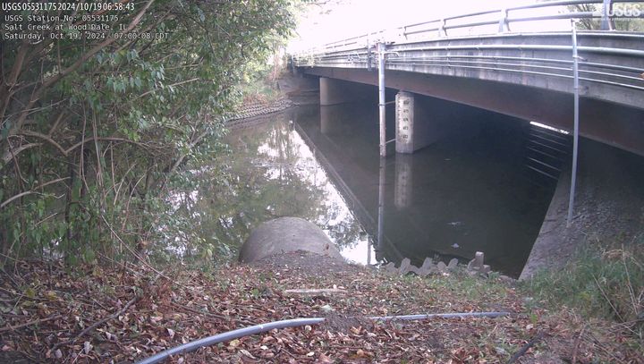
Salt Creek at Wood Dale, IL (05531175)

This site is located at Irving Park Road in Wood Dale, Illinois. The time is reported in Central Standard Time and the bridge-pier elevations are referenced to NGVD 1929.

This site is operated in cooperation with the DuPage County, Illinois, Stormwater Management Division

This site is located at Irving Park Road in Wood Dale, Illinois. The time is reported in Central Standard Time and the bridge-pier elevations are referenced to NGVD 1929.

This site is operated in cooperation with the DuPage County, Illinois, Stormwater Management Division

Savannah River at Savannah
Savannah River at Savannah (021989773)

We have installed a webcam at the Savannah River at Savannah to allow you to view, in real time, the current river-stage conditions.

During periods of flooding, the South Atlantic Water Science Center - Georgia will take control of the camera.


We have installed a webcam at the Savannah River at Savannah to allow you to view, in real time, the current river-stage conditions.

During periods of flooding, the South Atlantic Water Science Center - Georgia will take control of the camera.


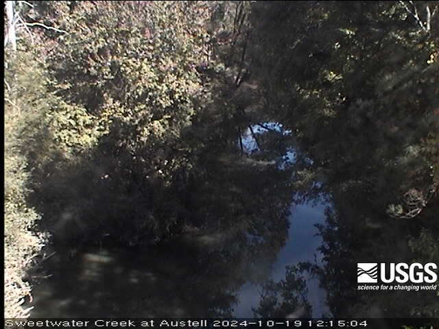
Sweetwater Creek 0.05 miles US RR Bridge, Austell
Sweetwater Creek 0.05 miles US RR Bridge, Austell (02336910)

We have installed a webcam at the Sweetwater Creek 0.05 miles US RR Bridge, Austell to allow you to view, in real time, the current river-stage conditions.

This webcam is located at site 02336910, which is near the Sweetwater Creek near Austell (02337000) water-monitoring site.

We have installed a webcam at the Sweetwater Creek 0.05 miles US RR Bridge, Austell to allow you to view, in real time, the current river-stage conditions.

This webcam is located at site 02336910, which is near the Sweetwater Creek near Austell (02337000) water-monitoring site.

View from webcam
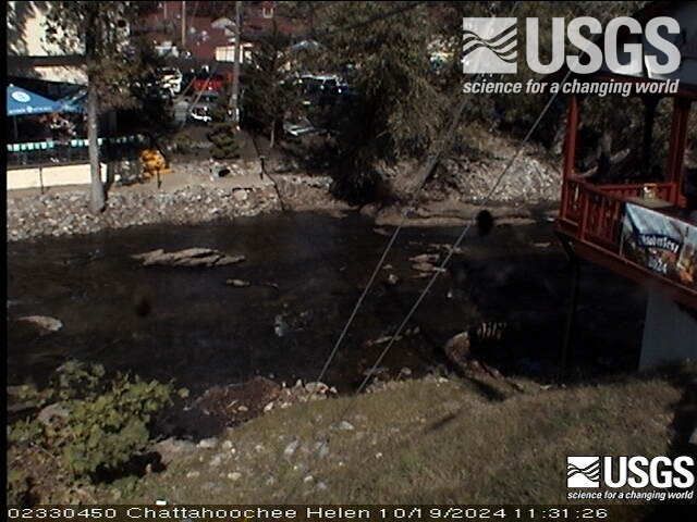
Chattahoochee River at Helen (02330450)

We have installed a webcam at the Chattahoochee River at Helen to allow you to view, in real time, the current river-stage conditions.

During periods of flooding, the South Atlantic Water Science Center - Georgia will take control of the camera.

We have installed a webcam at the Chattahoochee River at Helen to allow you to view, in real time, the current river-stage conditions.

During periods of flooding, the South Atlantic Water Science Center - Georgia will take control of the camera.

View from webcam
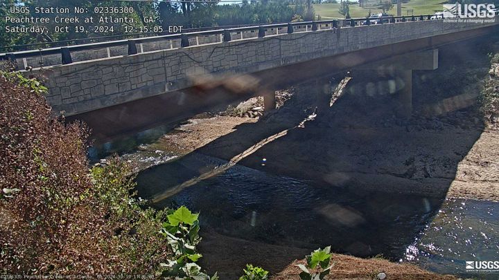
Peachtree Creek at Atlanta (02336300)

We have installed a webcam at the Peachtree Creek at Atlanta to allow you to view, in real time, the current river-stage conditions.

During periods of flooding, the South Atlantic Water Science Center - Georgia will take control of the camera.

We have installed a webcam at the Peachtree Creek at Atlanta to allow you to view, in real time, the current river-stage conditions.

During periods of flooding, the South Atlantic Water Science Center - Georgia will take control of the camera.

View from webcam
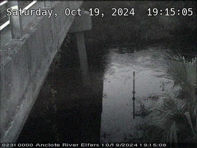
Anclote River near Elfers (02310000)
View from webcam
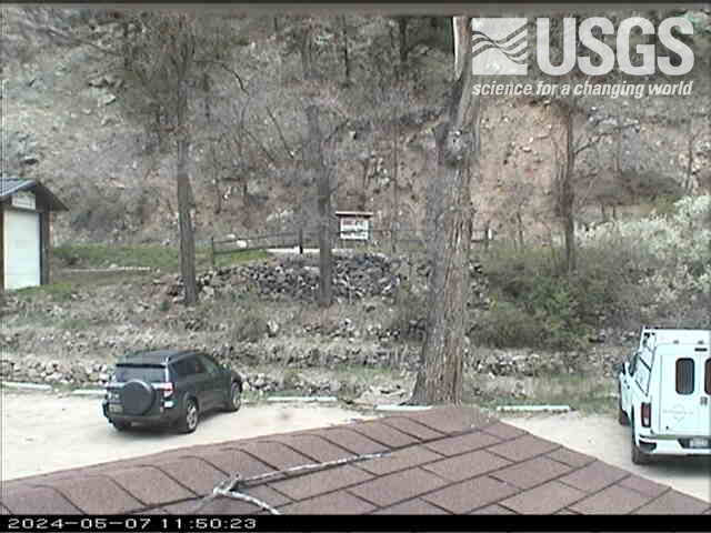
Four Mile Creek at Orodell, CO (06727500)

Webcam at USGS Streamgage 06727500 Fourmile Creek at Orodell, CO.

Visit Water Data For the Nation to get current data for this site.

View of partial road next to the river with trees and equipment in the background.
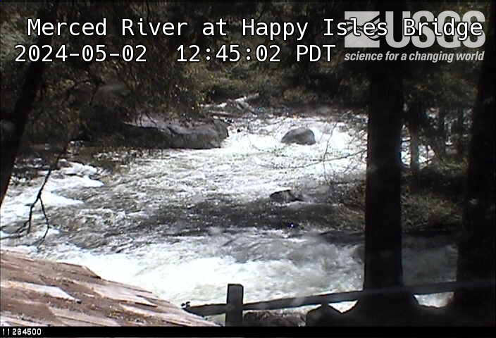
Merced River at Happy Isles Bridge, Yosemite, CA

This webcam is located at the USGS streamgaging station on MERCED R A HAPPY ISLES BRIDGE NR YOSEMITE. This station provides continuous monitoring of certain river conditions such as flow and stage.

Was this page helpful?