
We have installed a webcam at Saluda River at I26 to allow you to view (in real time) the current conditions.
Webcams
The USGS maintains a variety of webcams across the U.S. These webcams provide valuable research information and data to the USGS scientists, the National Weather Service, emergency managers, and area residents to evaluate near, real-time conditions during natural hazard events (most webcams refresh every 5 - 20 minutes).
Filter Total Items: 346
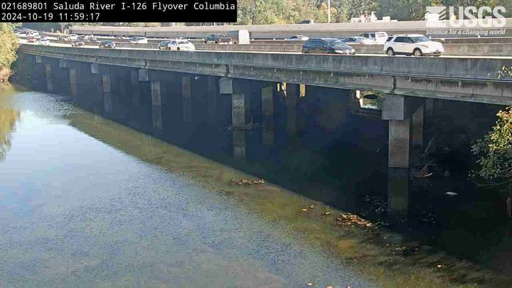
Saluda River at I26, Columbia, SC
We have installed a webcam at Saluda River at I26 to allow you to view (in real time) the current conditions.
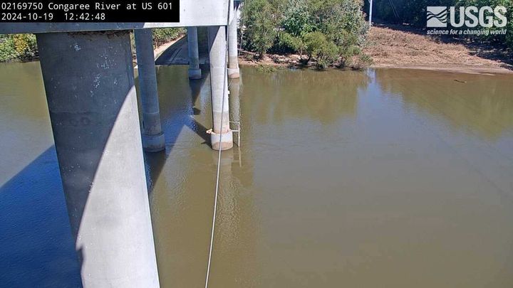
Congaree River at U.S. Hwy 601, SC (02169750)
We have installed a webcam at Congaree River, at U.S. Hwy 601, near Fort Motte, to allow you to view (in real time) the current conditions.
We have installed a webcam at Congaree River, at U.S. Hwy 601, near Fort Motte, to allow you to view (in real time) the current conditions.
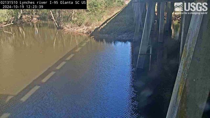
Lynches River at I-95, above Olanta, SC (02131510, Upstream)
Lynches River at I-95, above Olanta, SC (02131510, Upstream)We have installed a webcam at the Lynches River at I-95, above Olanta to allow you to view, in real time, the current river-stage conditions.
During periods of flooding, the South Atlantic Water Science Center - South Carolina will take control of the camera.

Pocotaligo River at I-95, above Manning, SC (02135615, Upstream)
Pocotaligo River at I-95, above Manning, SC (02135615, Upstream)We have installed a webcam at Pocotaligo River at I-95, above Manning to allow you to view (in real time) the current river-stage conditions.
During periods of flooding, the South Atlantic Water Science Center will take control of the camera.
Pee Dee River near Florence (Downstream, 02130810)
Pee Dee River near Florence (Downstream, 02130810)We have installed a webcam at Peedee River near Florence to allow you to view (in real time) the current conditions.
During periods of flooding, the South Atlantic Water Science Center - South Carolina will take control of the camera.
Camera is sponsored by the SC Department of Transportation.
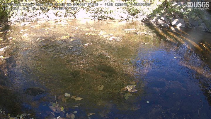
Underwood Creek near Elm Grove Soccer Field SIDEVIEW
Underwood Creek near Elm Grove Soccer Field SIDEVIEWWebcam at Underwood Creek near Elm Grove, Wisconsin, Soccer Field, Fish Camera SIDEVIEW.
Underwood Creek near Elm Grove Soccer Field SIDEVIEW
Underwood Creek near Elm Grove Soccer Field SIDEVIEWWebcam at Underwood Creek near Elm Grove, Wisconsin, Soccer Field, Fish Camera SIDEVIEW.
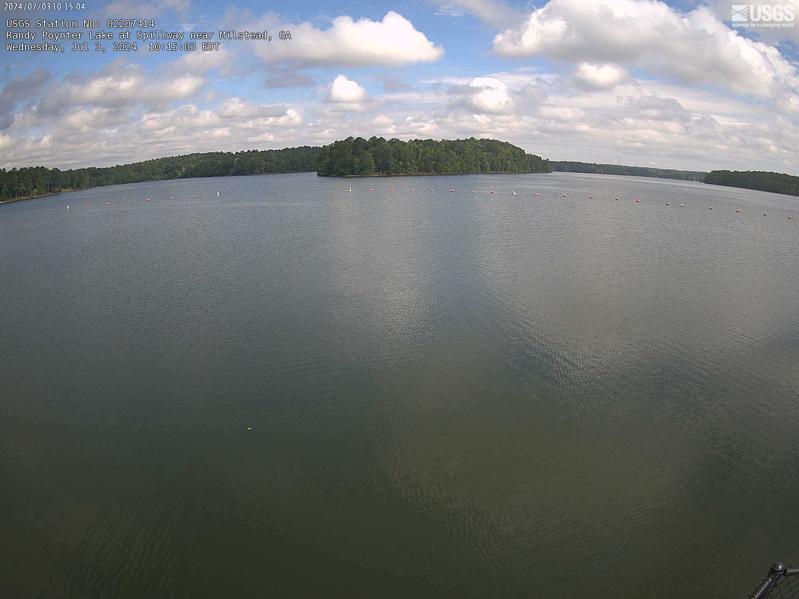
Randy Poynter Lake at Spillway, Near Milstead, GA (02207414)
Randy Poynter Lake at Spillway, Near Milstead, GA (02207414)We have installed a webcam at the Randy Poynter Lake at Spillway near Milstead to allow you to view, in real time, the current lake conditions.
This webcam is located at site 02207414.
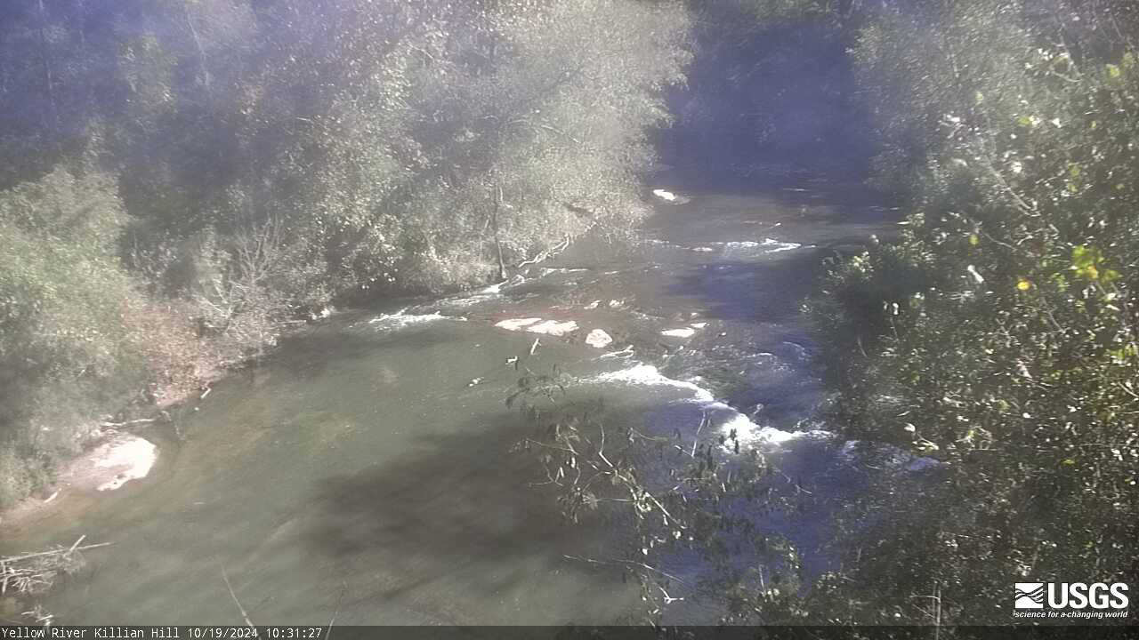
Yellow River near Snellville, GA (02206500)
We have installed a webcam at the Yellow River near Snellville to allow you to view, in real time, the current river conditions.
We have installed a webcam at the Yellow River near Snellville to allow you to view, in real time, the current river conditions.
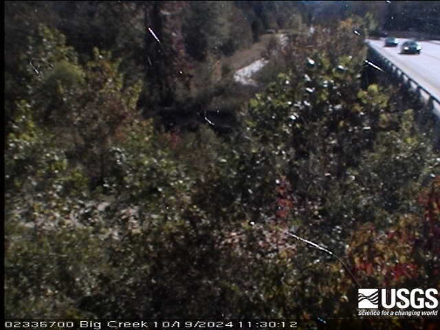
Big Creek near Alpharetta, GA (02335700)
We have installed a webcam at the Big Creek near Alpharetta to allow you to view, in real time, the current river conditions.
We have installed a webcam at the Big Creek near Alpharetta to allow you to view, in real time, the current river conditions.
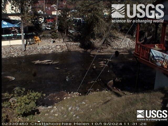
Chattahoochee River at Helen, GA (02330450)
We have installed a webcam at the Chattahoochee River at Helen to allow you to view, in real time, the current river conditions.
We have installed a webcam at the Chattahoochee River at Helen to allow you to view, in real time, the current river conditions.
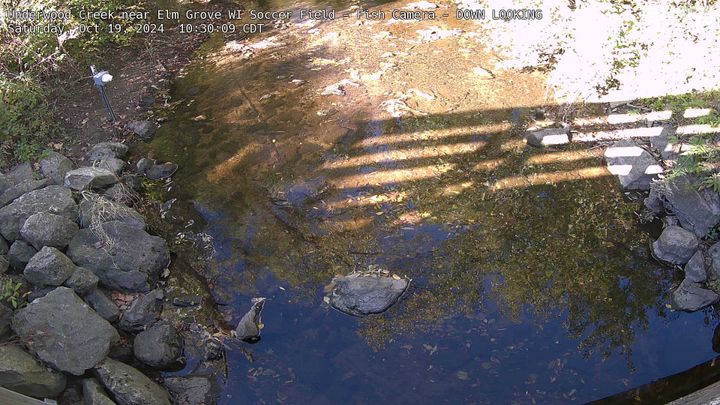
Underwood Creek near Elm Grove Soccer Field DOWN LOOKING
Underwood Creek near Elm Grove Soccer Field DOWN LOOKINGWebcam at Underwood Creek near Elm Grove, Wisconsin, Soccer Field, Fish Camera DOWN LOOKING.
Underwood Creek near Elm Grove Soccer Field DOWN LOOKING
Underwood Creek near Elm Grove Soccer Field DOWN LOOKINGWebcam at Underwood Creek near Elm Grove, Wisconsin, Soccer Field, Fish Camera DOWN LOOKING.
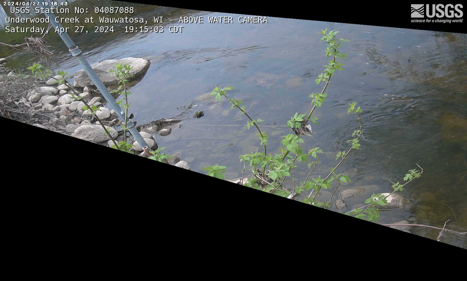
Underwood Creek at Wauwatosa, Wisconsin above water fish camera
Underwood Creek at Wauwatosa, Wisconsin above water fish cameraWebcam for fish observation at streamgage 04087088, Underwood Creek at Wauwatosa, Wisconsin: https://waterdata.usgs.gov/monitoring-location/04087088/
Underwood Creek at Wauwatosa, Wisconsin above water fish camera
Underwood Creek at Wauwatosa, Wisconsin above water fish cameraWebcam for fish observation at streamgage 04087088, Underwood Creek at Wauwatosa, Wisconsin: https://waterdata.usgs.gov/monitoring-location/04087088/
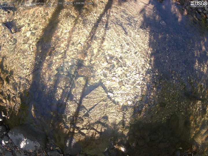
Underwood Creek at Wauwatosa FISH CAMERA LOOKING DOWN
Underwood Creek at Wauwatosa FISH CAMERA LOOKING DOWNUnderwood Creek at Wauwatosa, Wisconsin, FISH CAMERA LOOKING DOWN.
Streamgage Underwood Creek at Wauwatosa, WI - 04087088 Underwood Creek at Wauwatosa, WI - USGS Water Data for the Nation
Underwood Creek at Wauwatosa FISH CAMERA LOOKING DOWN
Underwood Creek at Wauwatosa FISH CAMERA LOOKING DOWNUnderwood Creek at Wauwatosa, Wisconsin, FISH CAMERA LOOKING DOWN.
Streamgage Underwood Creek at Wauwatosa, WI - 04087088 Underwood Creek at Wauwatosa, WI - USGS Water Data for the Nation
Little Menomonee River near Freistadt, Wisconsin Fish Camera
Little Menomonee River near Freistadt, Wisconsin Fish CameraWebcam for fish observation at streamgage 04087050, Little Menomonee River near Freistadt, Wisconsin: https://waterdata.usgs.gov/monitoring-location/04087050/
Little Menomonee River near Freistadt, Wisconsin Fish Camera
Little Menomonee River near Freistadt, Wisconsin Fish CameraWebcam for fish observation at streamgage 04087050, Little Menomonee River near Freistadt, Wisconsin: https://waterdata.usgs.gov/monitoring-location/04087050/
Menomonee River at Wauwatosa, Wisconsin above water fish camera
Menomonee River at Wauwatosa, Wisconsin above water fish cameraWebcam for fish observation at streamgage 04087120, Menomonee River at Wauwatosa, Wisconsin: https://waterdata.usgs.gov/monitoring-location/04087120/
Menomonee River at Wauwatosa, Wisconsin above water fish camera
Menomonee River at Wauwatosa, Wisconsin above water fish cameraWebcam for fish observation at streamgage 04087120, Menomonee River at Wauwatosa, Wisconsin: https://waterdata.usgs.gov/monitoring-location/04087120/
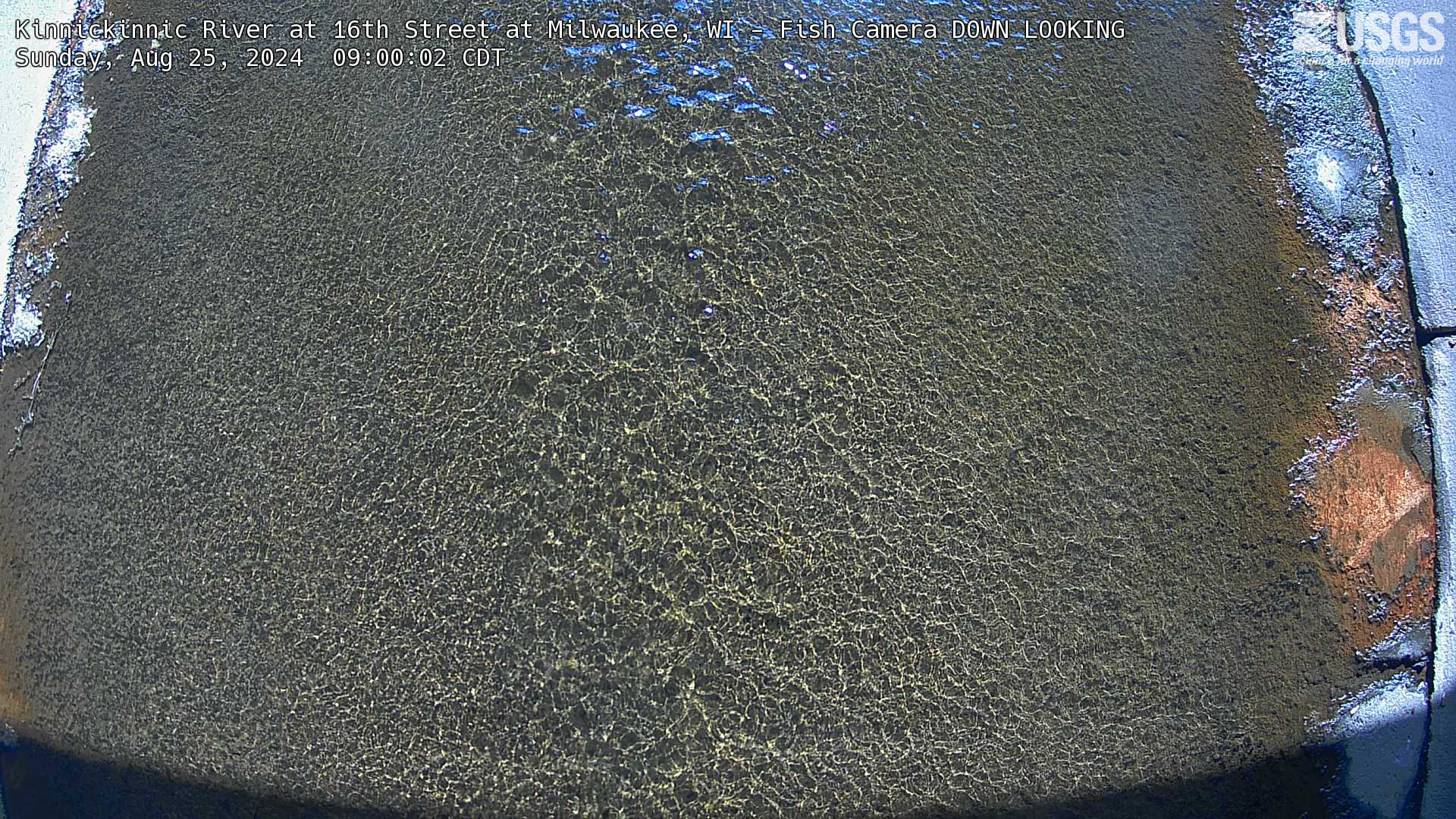
Kinnickinnic River at 16th Street at Milwaukee, WI - Fish Camera DOWN LOOKING
Kinnickinnic River at 16th Street at Milwaukee, WI - Fish Camera DOWN LOOKINGWebcam for fish observation at streamgage 11111111, Kinnickinnic River at 16th Street at Milwaukee, WI: https://waterdata.usgs.gov/monitoring-location/11111111/

Sand Key, Florida
Most recent time-averaged image from Sand Key, Florida. The images are used to examine a range of coastal processes including shoreline position, the presence of an offshore sandbar, and the extent of wave runup on the beach. Camera hosted by Dan's Island Condo.
Most recent time-averaged image from Sand Key, Florida. The images are used to examine a range of coastal processes including shoreline position, the presence of an offshore sandbar, and the extent of wave runup on the beach. Camera hosted by Dan's Island Condo.

Madeira Beach
A coastal camera located on Medeira Beach, Florida near the Shoreline Island Resort.
A coastal camera located on Medeira Beach, Florida near the Shoreline Island Resort.
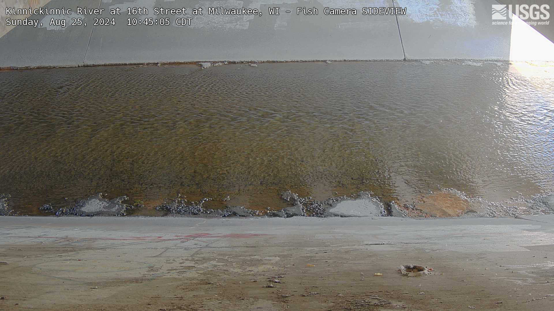
Kinnickinnic River at 16th Street at Milwaukee, WI - Fish Camera SIDEVIEW
Kinnickinnic River at 16th Street at Milwaukee, WI - Fish Camera SIDEVIEWWebcam for fish observation at streamgage 11111111, Kinnickinnic River at 16th Street at Milwaukee, WI: https://waterdata.usgs.gov/monitoring-location/11111111/
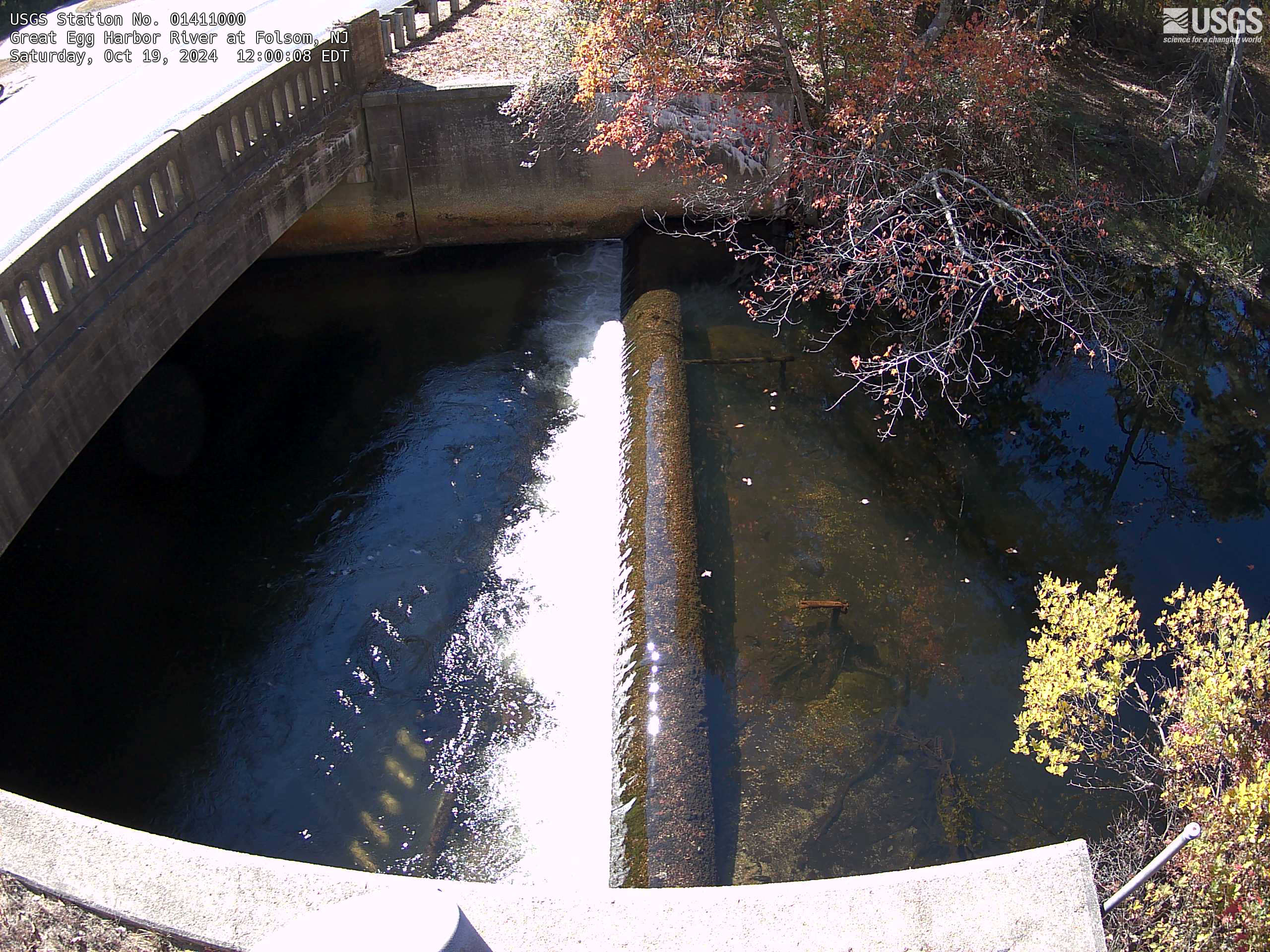
Streamgage 01411000 Great Egg Harbor River at Folsom, NJ
Streamgage 01411000 Great Egg Harbor River at Folsom, NJWebcam at USGS Streamgage 01411000 Great Egg Harbor River at Folsom, NJ
Visit Water Data For the Nation to get current data for this site.
Streamgage 01411000 Great Egg Harbor River at Folsom, NJ
Streamgage 01411000 Great Egg Harbor River at Folsom, NJWebcam at USGS Streamgage 01411000 Great Egg Harbor River at Folsom, NJ
Visit Water Data For the Nation to get current data for this site.
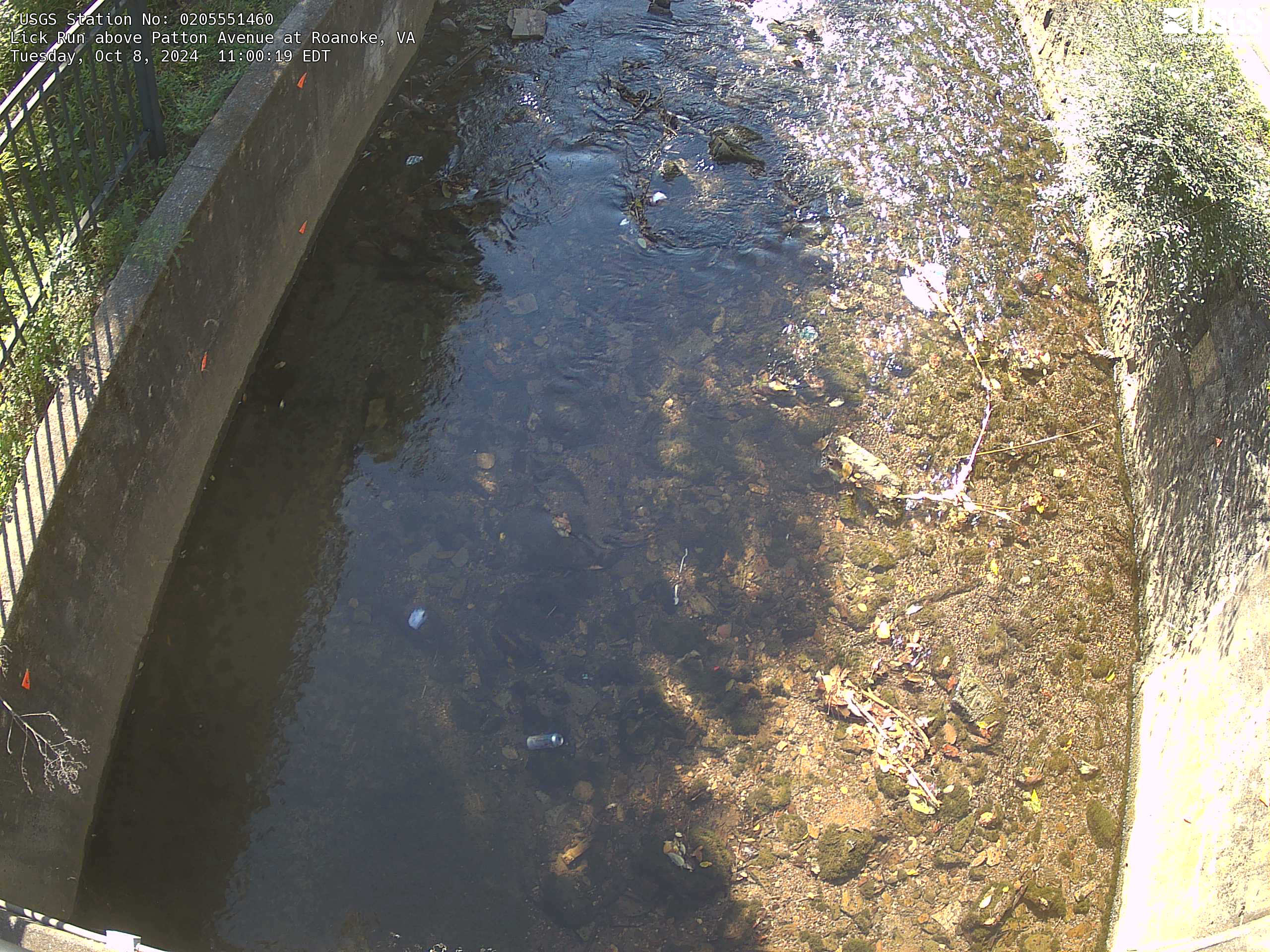
Lick Run at Roanoke
Current conditions at Lick Run in Roanoke. Visit the webcam site for previous images, timelapse video, and measured parameters.
Current conditions at Lick Run in Roanoke. Visit the webcam site for previous images, timelapse video, and measured parameters.