
Photo Roundup - September-November 2022
A selection of coastal and ocean videos and photographs from across the USGS.
Woods Hole Coastal and Marine Science Center Releases New Video
This video provides an overview of the science and products produced by the U.S. Geological Survey Woods Hole Coastal and Marine Science Center, as well as the use and value of the knowledge, data, and tools produced by the Center. It additionally highlights the Center’s location, where we conduct research, and collaborator/stakeholder types.


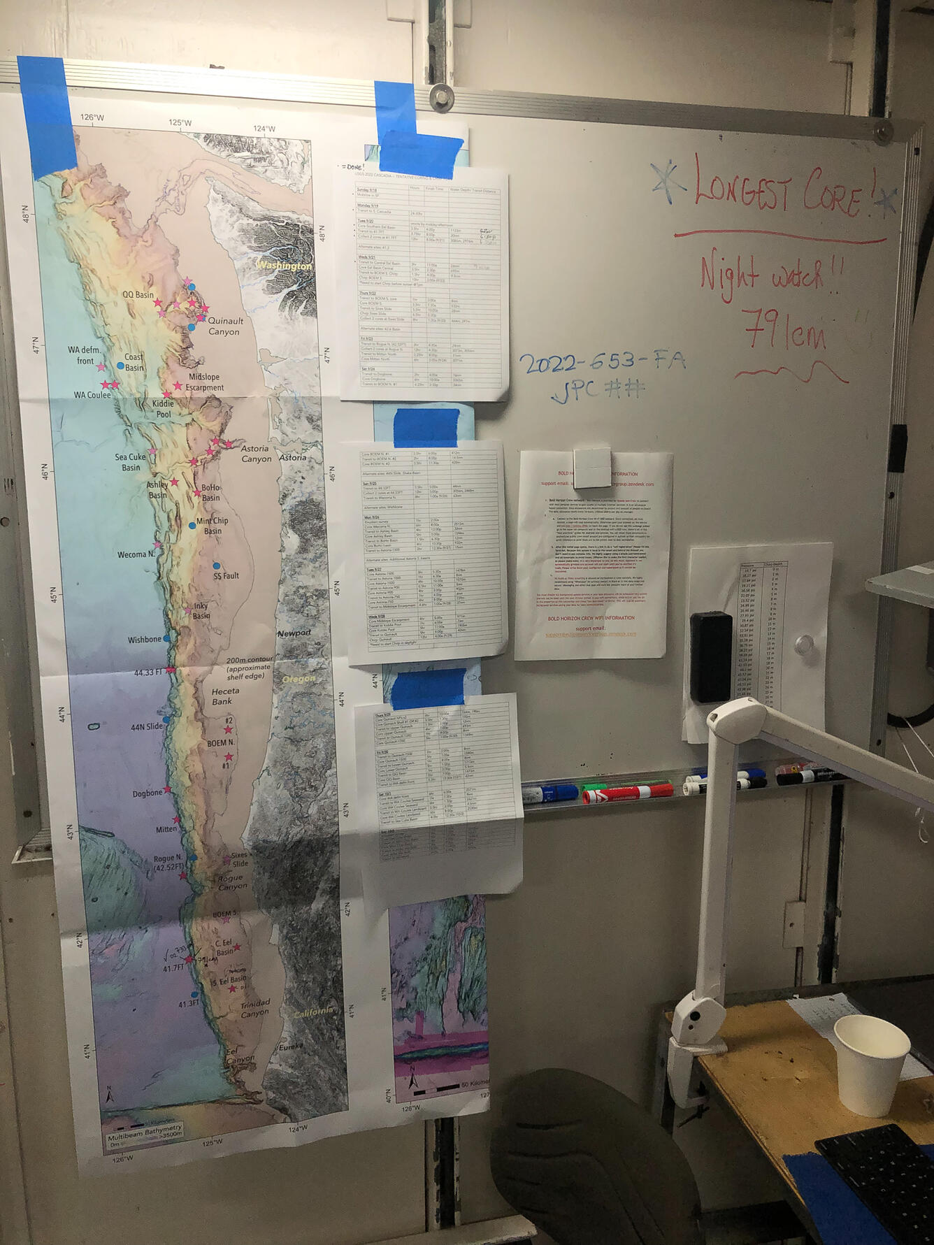


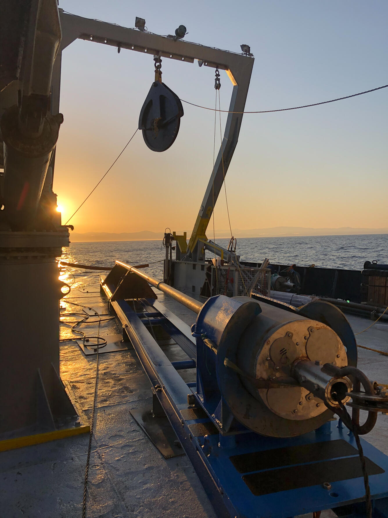
Subduction Zone Research
From mid-September to early October 2022, USGS researchers from the Coastal and Marine Hazards and Resources Program embarked on an expedition aboard the M/V Bold Horizon to collect geophysical data and piston cores along the Cascadia Subduction Zone off the northern California coast.
Our Nation's Coast
Our Nation’s coastlines are almost 100,000 miles long. These extensive coastal areas stretch from Maine’s Atlantic shores in the northeast, south along the shores of the Gulf of America and insular areas in the Caribbean. Toward the west, Pacific coastal areas include the shores of California, Oregon and Washington as well as Alaska, Hawai’i and insular areas in the Pacific Islands. The Nation’s coasts also include areas surrounding the Great Lakes, one of the largest freshwater ecosystems in the world. Altogether, our coasts are home to more than 40 percent of the population and support critical habitat for wildlife. USGS coastal scientists work to better understand these dynamic ecosystems to help safeguard coastal communities and conserve valuable resources.
Maiden Deployment of New Mega Multicorer
New customized USGS Coastal and Marine Hazards and Resources Program “mega multicorer” fabricated by OSIL and instrumented by Woods Hole Coastal and Marine Science Center marine technicians ready for deployment on the R/V Pelican on the Mississippi River Delta Front, September 2022. The mega multicorer is designed to recover multiple 1 m long sediment cores with minimal disturbance in water depths down to 4000 m with precise navigation and high-definition video imagery.


Hurricane Ian Damage
Hurricane Ian made landfall in Southwest Florida as a Category 4 hurricane in September 2022 and impacted both the Gulf of America and Atlantic coasts. This dune in Flagler County, Florida experienced severe erosion due to waves from the storm.
Real-time forecasts of coastal change can be viewed out to 6 days for discrete locations along the U.S. coastline in the Total Water Level and Coastal Change Forecast Viewer.
Photos by Danielle Faletti. Used with Permission.


Hurricane Ian: Before and After
Many areas along Florida's coast endured severe damage and coastal change from Hurricane Ian including overwash and erosion. The Coastal and Marine Hazards and Resources Program uses remote sensing techniques such as satellite and aerial imagery to analyze changes to the coast as a result of these storms.


