Search Earthquake Catalog
online search by time window, area, magnitude, and more
online search by time window, area, magnitude, and more
2025 USGS and ANSS Earthquake Monitoring Report
A geonarrative exploring domestic and global earthquake monitoring efforts in 2025
A geonarrative exploring domestic and global earthquake monitoring efforts in 2025
Significant Earthquakes, Past 30 days
Significant Earthquakes, Past 30 days
6.5
126 km NNE of Teluknaga, Indonesia
2026-09-11 21:23:56 (UTC)
Pager Alert Level: Green
MMI: III (Weak Shaking)
372.0 km
3.8
20 km E of Castle Rock, Washington
2026-09-05 11:09:28 (UTC)
Pager Alert Level: Gray (Null)
MMI: IV (Light Shaking)
17.7 km
5.4
21 km WNW of Jiangyou, China
2026-09-03 11:39:42 (UTC)
Pager Alert Level: Yellow
MMI: VI (Strong Shaking)
10.0 km
6.3
84 km SSW of Nikolski, Alaska
2026-09-03 11:17:24 (UTC)
Pager Alert Level: Green
MMI: IV (Light Shaking)
35.0 km
5.2
4.9
4 km NNE of Jalālābād, Afghanistan
2026-08-25 01:18:46 (UTC)
Pager Alert Level: Yellow
MMI: VI (Strong Shaking)
10.0 km
5.8
61.0 km
6.7
99.0 km
6.9
9 km WNW of Pematangsiantar, Indonesia
2026-08-15 10:54:52 (UTC)
Pager Alert Level: Green
MMI: V (Moderate Shaking)
175.0 km
6.5
126 km NNE of Teluknaga, Indonesia
2026-09-11 21:23:56 (UTC)
Pager Alert Level: Green
MMI: III (Weak Shaking)
372.0 km
3.8
20 km E of Castle Rock, Washington
2026-09-05 11:09:28 (UTC)
Pager Alert Level: Gray (Null)
MMI: IV (Light Shaking)
17.7 km
5.4
21 km WNW of Jiangyou, China
2026-09-03 11:39:42 (UTC)
Pager Alert Level: Yellow
MMI: VI (Strong Shaking)
10.0 km
6.3
84 km SSW of Nikolski, Alaska
2026-09-03 11:17:24 (UTC)
Pager Alert Level: Green
MMI: IV (Light Shaking)
35.0 km
5.2
4.9
4 km NNE of Jalālābād, Afghanistan
2026-08-25 01:18:46 (UTC)
Pager Alert Level: Yellow
MMI: VI (Strong Shaking)
10.0 km
5.8
61.0 km
6.7
99.0 km
6.9
9 km WNW of Pematangsiantar, Indonesia
2026-08-15 10:54:52 (UTC)
Pager Alert Level: Green
MMI: V (Moderate Shaking)
175.0 km
Earthquake Hazards Program
The USGS monitors and reports on earthquakes, assesses earthquake impacts and hazards, and conducts targeted research on the causes and effects of earthquakes. We undertake these activities as part of the larger National Earthquake Hazards Reduction Program (NEHRP), a four-agency partnership established by Congress.
Latest Earthquakes
Latest Earthquakes

Latest earthquakes map and list (past 24 hours, M2.5+) from the ANSS (Advanced National Seismic System).
Search Earthquake Catalog
Search Earthquake Catalog

Find an earthquake or a list of earthquakes by time window, magnitude, area, and more, and choose the output format - map and list, CVS, and others.
News
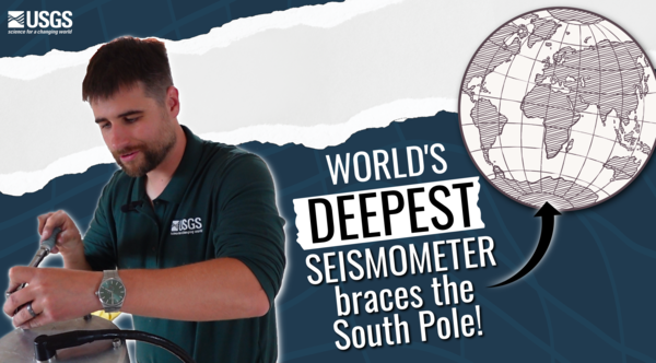
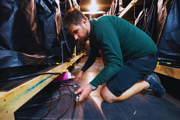
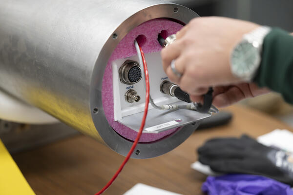
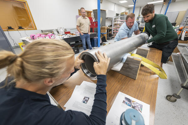
The Loneliest Seismometers on Earth
The Loneliest Seismometers on Earth
Updates for ShakeAlert False Alert for M5.9 Earthquake near Carson City, NV (Dec. 2025)
Updates for ShakeAlert False Alert for M5.9 Earthquake near Carson City, NV (Dec. 2025)
USGS releases aftershock forecast for M8.8 Russian Kamchatka Peninsula Earthquake
USGS releases aftershock forecast for M8.8 Russian Kamchatka Peninsula Earthquake
Publications
Estimating aftershock risk for entry into earthquake-damaged buildings Estimating aftershock risk for entry into earthquake-damaged buildings
We present a simple method to estimate the risk of experiencing strong shaking from aftershocks during entry into earthquake-damaged buildings. We compute wait times until the probability of strong ground shaking from aftershocks reaches a predefined risk threshold; for example, a 0.4 percent probability of experiencing Modified Mercalli Intensity 7 or greater shaking during the planned...
Fully contained laboratory earthquakes: The effect of asperity aspect ratio and free surfaces Fully contained laboratory earthquakes: The effect of asperity aspect ratio and free surfaces
Corner frequency (fc) and seismic moment (M0) are key parameters derived from seismic signals that are used to characterize earthquake stress drop, rupture area, and slip. These parameters are also affected by fault geometry and boundary conditions. However, the systematic study of these effects in laboratory settings has been challenging. This study presents laboratory earthquake...
CRESCENT earthquake dynamic rupture, earthquake cycle, and tsunami code verification platform CRESCENT earthquake dynamic rupture, earthquake cycle, and tsunami code verification platform
Physics-based simulations are critical for understanding natural hazards. The increasing complexity of numerical codes requires benchmark exercises to verify that different computational methods yield consistent results when solving the same governing equations. Here, we present an open-access web platform designed for the verification of earthquake dynamic rupture, seismic cycle, and...
Science

Alaska Earthquake and Tsunami Hazards
Alaska has more large earthquakes than the rest of the United States combined. More than three-quarters of the state’s population live in an area that can experience a magnitude 7 earthquake. Our research provides objective science that helps stakeholders prepare for and mitigate the effects of future earthquakes and tsunamis, which bolsters the economic health and well-being of Alaska and the...
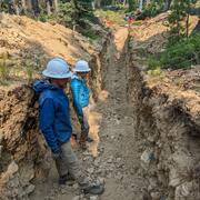
Challenges and Advances in Stable Continental Region Paleoseismology
Thursday and Friday, September 17-18, 2026 8:30 am – 5:00 pm CDT A Hybrid Event at The University of Memphis FedEx Institute of Technology

Geologic Mapping for Landscape Resiliency in California, Oregon, and Washington
This project uses geologic and geomorphic mapping in the context of societally relevant problems in the Earth’s critical zone. Leveraging interdisciplinary research ties and interagency collaborations, it utilizes remote sensing data, corroborated with field observations, to determine i) the spatial distribution of geomorphic processes and ages of Quaternary deposits in the context of active...
By
Earthquake Hazards Program, Landslide Hazards Program, National Cooperative Geologic Mapping Program, Earthquake Science Center, Geologic Hazards Science Center, Geology, Minerals, Energy, and Geophysics Science Center, Geosciences and Environmental Change Science Center, Pacific Coastal and Marine Science Center, Big Sur Landslides