



Geology, Energy & Minerals Science Center
GEMSC conducts comprehensive, interdisciplinary research and surveys of the origin, occurrence, distribution, quantity, and composition of oil, gas, coal, minerals, and associated deposits
Florence Bascom Geoscience Center
Paleoclimate & Paleoecology, Landscape Science, Geologic Mapping, Hazards, and Special Geologic Studies
Eastern Ecological Science Center
Quantitative Methods and Decision Science, Species Population Dynamics and Surveillance, Animal Health Diagnostics and Surveillance, and Ecological Patterns and Processes
National Minerals Information Center
Statistics and information on the worldwide supply of, demand for, and flow of minerals and materials essential to the U.S. economy, the national security, and protection of the environment
Science and Decisions Center
Conducts integrated physical, biological, socioeconomic, and information science, advances decision-analytic methods in the USGS, and investigates innovative data collection and analysis methods
Woods Hole Coastal and Marine Science Center
Conduct scientific research throughout the United States to describe and understand the processes shaping coastal and marine ecosystems
Water Science Centers
Maryland-Delaware-D.C., New England, New Jersey, New York, Pennsylvania, and Virginia and West Virginia
Northeast Region
The USGS Northeast Region provides science to inform decision-makers and address societal needs such as responding to natural disasters, reducing energy prices, and safeguarding national and economic security. The Northeast includes the Office of the Regional Director and 12 science centers spanning 14 States and Washington, D.C. – home to more than 78 million people. The Northeast Region has field offices throughout the region that directly support local communities with a wide range of scientific research, monitoring, mapping, and decision-support services.
Our Science Centers

There are 13 Science Centers spanning 14 States and Washington, D.C. The Centers conduct interdisciplinary biologic, geologic, hydrologic, and energy monitoring and research addressing natural resource issues facing our nation.
Photo Contest Winners
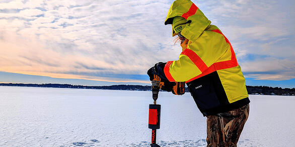
Check out the winning photographs in the Winter 2026 Photo Contest. Categories include People, USGS at Work, Where We Work, and Honorable Mention.