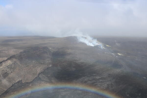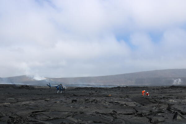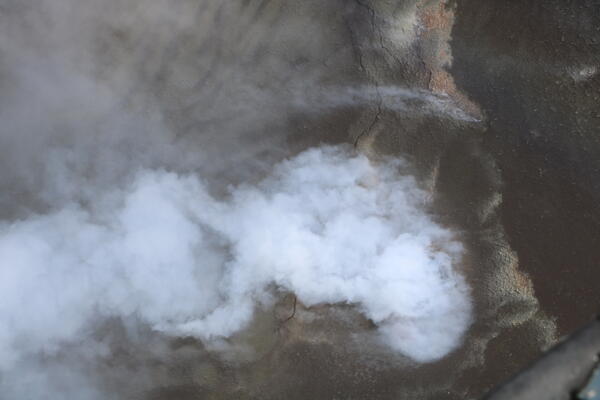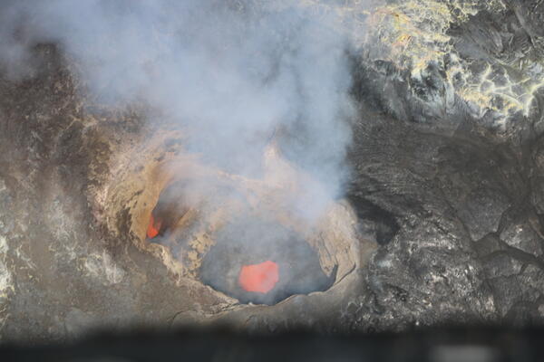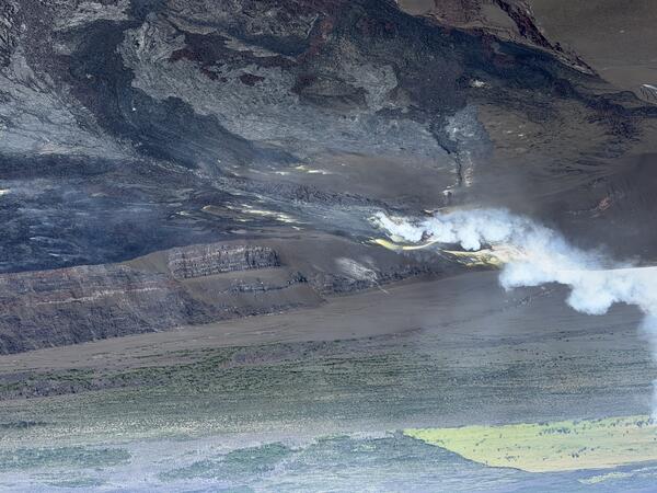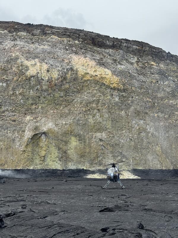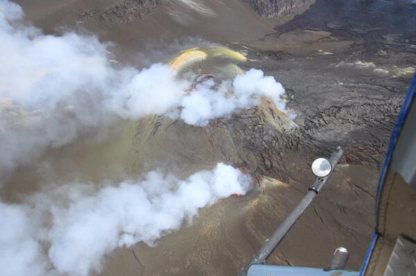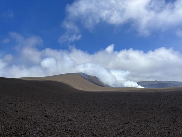
June 24, 2026 — Fumarole on Halemaʻumaʻu floor, Kīlauea summit
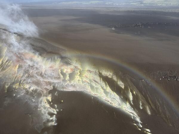
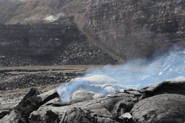
June 24, 2026 — Fumarole on Halemaʻumaʻu floor, Kīlauea summitNumerous fumaroles, or degassing areas, dot the floor of Halemaʻumaʻu at the summit of Kīlauea. These features are ephemeral, being covered with lava flows and then reappearing, and are often surrounded with bright yellow sulfur deposits. USGS photo by K. Mulliken.