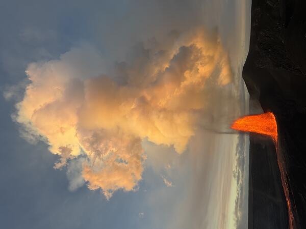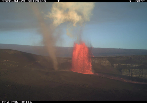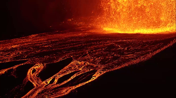
April 23, 2026 — Kīlauea lava fountaining episode 45
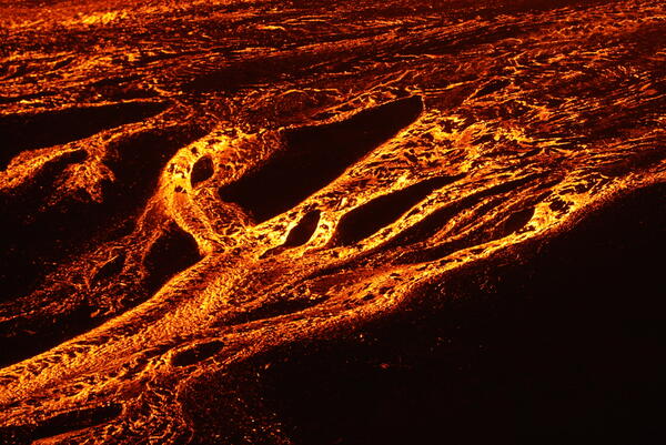
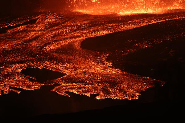
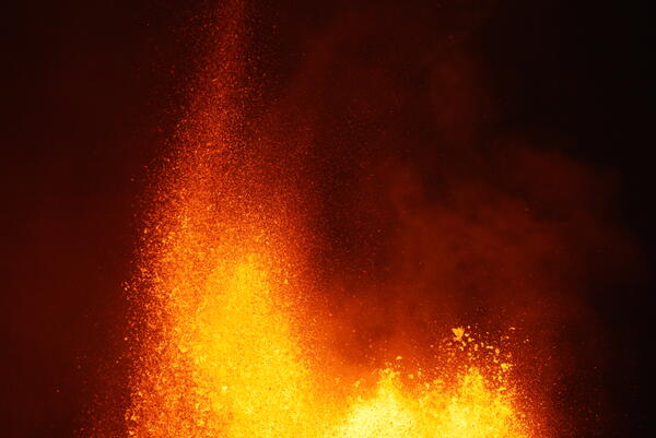
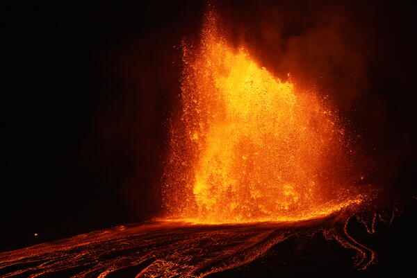
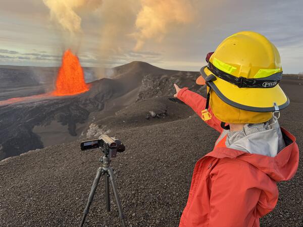
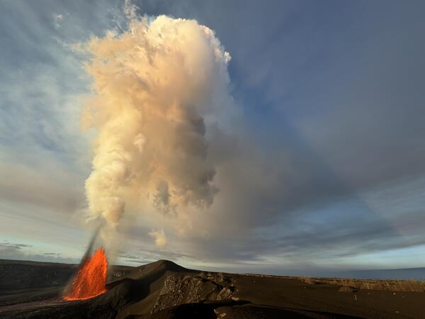
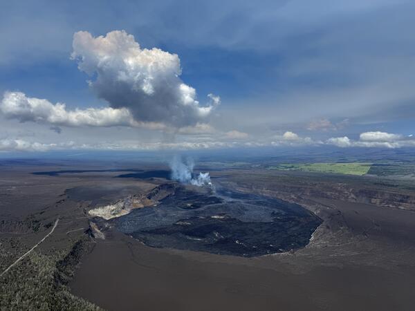
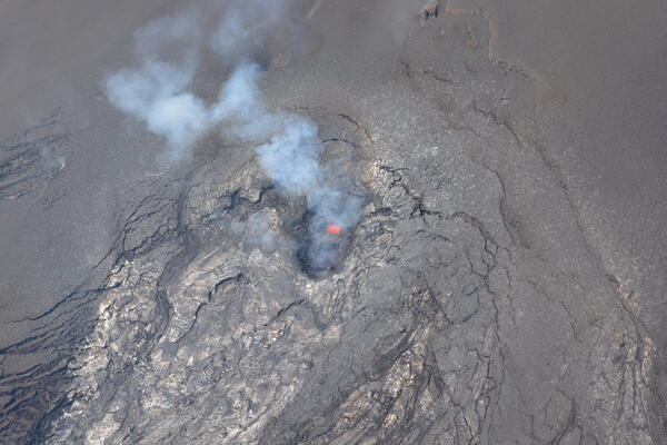
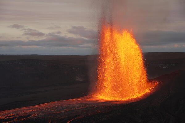
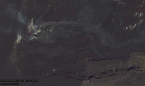
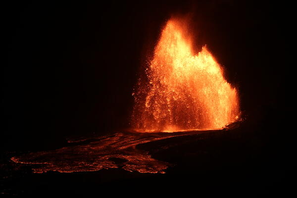
April 23, 2026 — Kīlauea lava fountaining episode 45Episode 45 of the Kīlauea summit eruption began at 1:34 a.m. HST on April 23, 2026. This photo was taken around 3:00 a.m. that morning, and shows lava fountaining from the north vent, feeding lava flows on the floor of Halemaʻumaʻu crater. The eruptive episode would go on until 10:01 a.m. HST on April 23, for about 8.5 hours of eruption total. USGS photo by K.