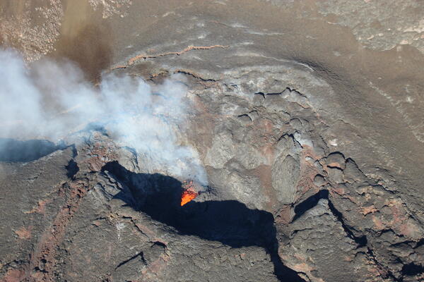
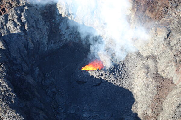
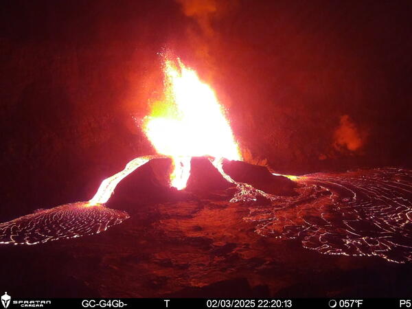
February 12, 2025 — Eruptive activity at the vents in Halemaʻumaʻu, Kīlauea
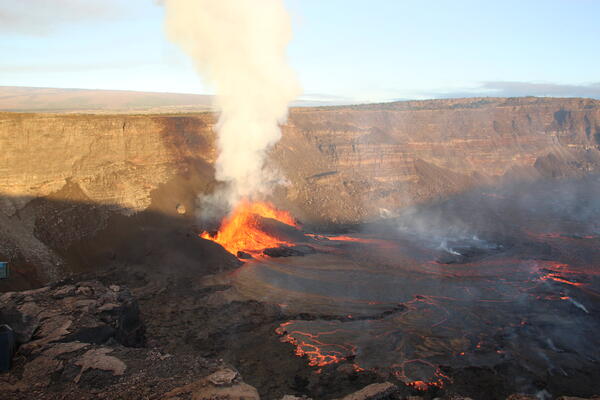
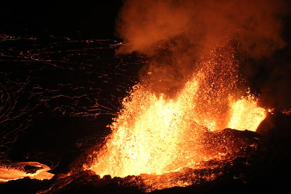
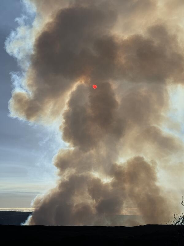
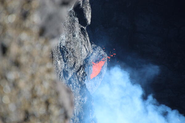
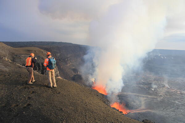
February 12, 2025 — Eruptive activity at the vents in Halemaʻumaʻu, KīlaueaAround 7 a.m. HST on February 12, 2025, USGS Hawaiian Volcano Observatory (HVO) field crews observed vigorous fountaining from both the north and south vents of the ongoing 2024-2025 eruption. The south and north cones were 31 m (102 feet) and 45 m (148 feet) tall, respectively. USGS photo by K. Lynn.