
Data
Energy and Mineral Resources: Alaska Resource Data File (ARDF)
Water Resources: Flood Frequency for Alaska
Molecular Ecology Laboratory
Energy and Mineral Resources: Alaska Geochemical DataBase (AGDB) Geochemical Reanalysis
Water Resources: Sounding Cross Section Surveys
Legacy Research Data from Retired, Emeritus, and Current USGS ASC Staff
See below for featured data sets and a list of all data releases from the USGS Alaska Science Center. All USGS released data sets are also listed in the USGS Science Data Catalog.
Energy and Mineral Resources Data Releases
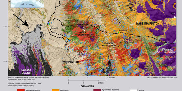
View the data releases for the Alaska Science Center Energy and Mineral Resources office. They have been grouped by: Geochemistry, Geochronology, Geologic hazards, Geologic mapping, Mineral resources, and Topographic data.
Ecosystems Data Releases

View the data releases for the Alaska Science Center ecosystems office. They have been grouped by: Terrestrial Ecosystems, Aquatic Ecosystems, Wildlife Health and Genetics, Environmental Health and eDNA, Habitat and Landscape Change, and Ecosystem Analytics.
Water Resources Data Releases
View the data releases for the Alaska Science Center Water Resources office. They have been grouped by: Atmospheric, Geomorphology, Model Data, Streamflow Statistics, Water Level, and Water Quality.