
Data Discovery
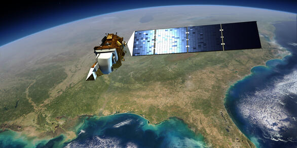
The USGS National Remote Sensing Data Archive provides foundational imagery and geospatial data for the Nation. EROS science products offer insights into land cover, fire, hazards, and elevation change. The Land Processes Distributed Active Archive Center (LP DAAC), a USGS–NASA partnership, distributes NASA satellite data in support of land and water research.
USGS EROS Archive
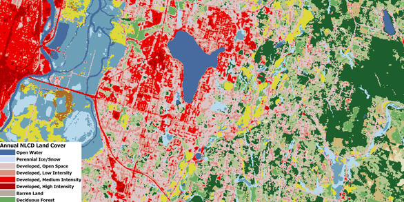
The EROS Archive includes satellite imagery, aerial photographs, and geospatial datasets dating back to the 1930s. Holdings include the entire Landsat satellite record, Annual NLCD, declassified satellite imagery, historical aerial imagery and other data.
Science Products
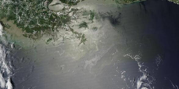
Explore science products developed at the USGS EROS Center based on remotely sensed data. These datasets support land cover mapping, rangeland condition monitoring, fire response, water use estimation, vegetation health, and terrain modeling.
LP DAAC
LP DAAC hosts global land surface data from satellite missions like MODIS, ASTER, and VIIRS. These science products support resource managers, disaster responders, researchers, and industry in investigating, characterizing, and monitoring land processes.