Forest and Rangeland Ecosystem Science Center
Multimedia
Chesapeake Bay Watershed boundary, USA
The Chesapeake Bay watershed, or draingage basin, encompasses six states - New York, Pennsylvania, West Virginia, Maryland, Deleware, Virginia, and the District of Columbia. A drainage basin is a giant system of creeks, streams, and rivers that all flow into a common outlet, which in this case is the Chesapeake Bay.
red-tailed hawk population heat map
Figure 4 from Katzner, et. al., 2020
thumbnail Katzner, et al. 2020 Publication Brief
Thumbnail image of plain language summary of:
Katzner, T.E., Braham, M.A., Conkling, T.J., Diffendorfer, J.E., Duerr, A.E., Loss, S.R., Nelson, D.M., Vander Zanden, H.B., Yee, J.L., 2020, Assessing population-level consequences of anthropogenic stressors for terrestrial wildlife: Ecosphere, v. 11, no. 3, p. e03046, https
...USGS Director Jim Reilly gives a speech
The USGS Forest and Rangeland Ecosystem Science Center (FRESC) held a groundbreaking ceremony on August 25, 2020 at the Idaho Water Science Center (IDWSC) in Boise, Idaho. FRESC is moving their Snake River Field Station, presently located on the Boise State University campus, to the IDWSC campus and building a new facility for the USGS Pacific Northwest environmental DNA
...Dragonfly Mercury Project specimen collection in Glacier NP
Researchers instruct volunteers on how to collect dragonfly larvae in Glacier NP as a part of the Dragonfly Mercury Project.
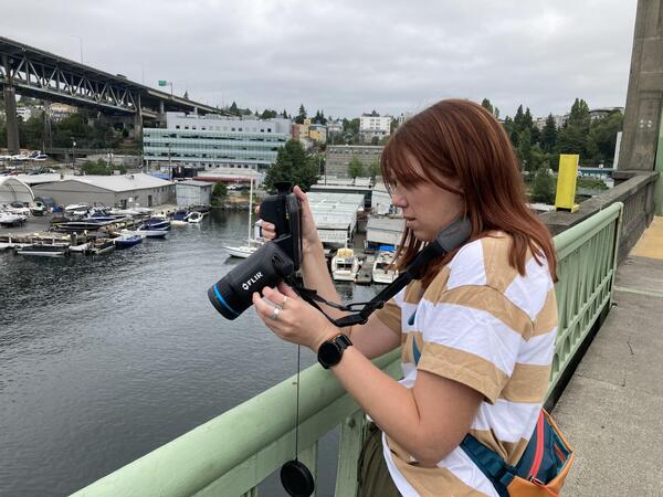
Setting up a bat acoustic monitoring station
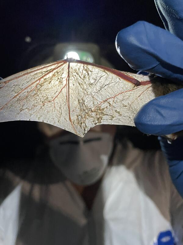
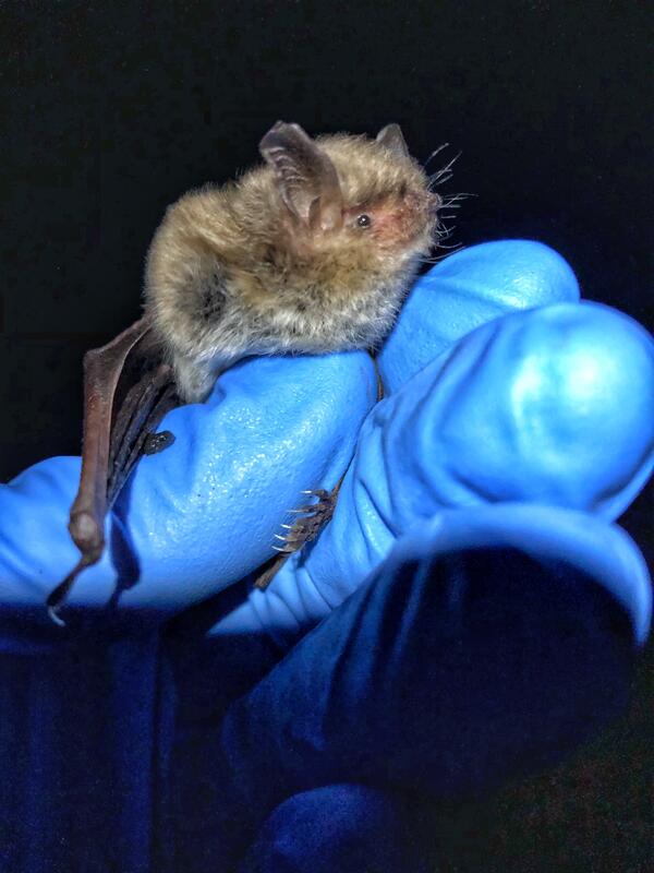
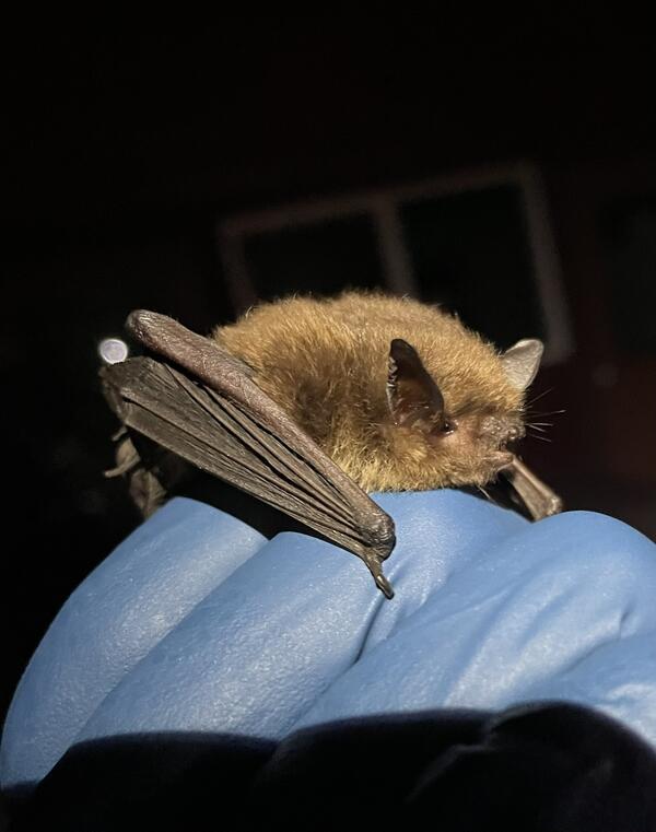
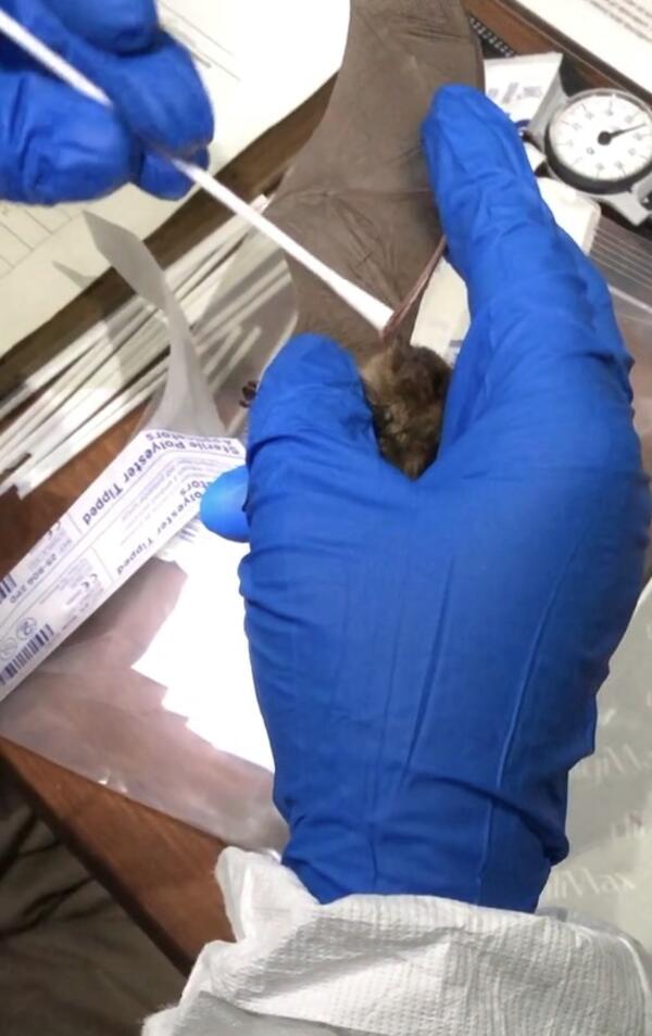
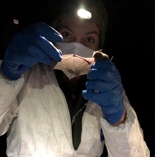
White-nose syndrome has been detected in Washington. USGS scientist are helping the NPS design and evaluate bat sampling protocols for their Pacific Northwest parks.
Land Treatment Exploration Tool: A Quick Introduction
This is a quick introduction video to the Land Treatment Exploration Tool. This short video includes a summary of the tool with screen clips of the fact sheet, web tool, and an example Site Characterization Report.
These tutorial videos were created to aid in the use of the Land Treatment Exploration Tool (LTET). These videos
Land Treatment Exploration Tool—Step 1: Describe Proposed Treatment
This video describes Step 1 of the Land Treatment Exploration Tool. In Step 1 the user defines a name, the planned treatment/s, and a file name for exported items.
These tutorial videos were created to aid in the use of the Land Treatment Exploration Tool (LTET). These videos guide a user through the main steps of the tool.
Land Treatment Exploration Tool — Step 2: Select Treatment Boundary
This video describes Step 2 of the Land Treatment Exploration Tool. In Step 2 the user defines their planned treatment boundary. The user can load a zipped shapefile or on-screen digitize their boundary.
These tutorial videos were created to aid in the use of the Land Treatment Exploration Tool (LTET). These videos guide a
Land Treatment Exploration Tool — Step 3: Explore Site Characteristics
This video describes Step 3 of the Land Treatment Exploration Tool. In Step 3 the user is guided to the Site History tab to explore land treatment and wildfire history of their planned treatment area. They are also directed to the Fish and Wildfire Information for Planning and Consultation tool to investigate areas of overlap with endangered species, migratory birds, and
Land Treatment Exploration Tool— Step 4: Prop. Treatment Area & Report
This video describes Step 4 and the developing report of the Land Treatment Exploration Tool. In Step 4 the used selects layers to generate spatial overlap statistics with their planned treatment boundary. Summary tables are generated and displayed in the Report tab, where a user can create a PDF Site Characterization Report for their planned treatment boundary. Optionally
Land Treatment Exploration Tool — Step 5: Select Search Parameters
This video describes Step 5 of the Land Treatment Exploration Tool. In Step 5 the user determines a distance or boundary to search for legacy Land Treatment Digital Library records. The user also indicates if the returned LTDL treatments are statistically evaluated against the planned treatment boundary using a Bray-Curtis Dissimilarity calculation.
These tutorial