
Water Availability
Water Availability
Filter Total Items: 32

Bad River Watershed Assessments
The Bad River has one of the highest sediment loads of all Lake Superior tributaries and is an important resource for lake sturgeon and the Bad River Tribe. This study monitors the effects of streamflow variability on sediment-related problems, including understanding the influence of land cover on hydrology, habitat, erosion and sedimentation rates, and water quality of the Bad River.

Milwaukee Metropolitan Sewerage District (MMSD) Watercourse Corridor Study
Since 2000, the USGS and MMSD have been partners in the Milwaukee Area Watercourse Corridor Study. The USGS has applied a multi-disciplinary approach to monitor and assess stream water quality within studies of aquatic communities, geomorphology and habitat, water and sediment, and streamflow. Results are provided to MMSD and watershed management agencies for planning and decision-making.

MMSD Watercourse Corridor Study: Continuous Real-Time Streamflow
The MMSD Watercourse Corridor Study supports seven USGS streamflow gages on Milwaukee-area streams that measure real-time discharge and gage height; five of these sites also collect time-lapse videos.

Assessing stormwater reduction through green infrastructure: RecoveryPark (Detroit, Mich.)
The effectiveness of green infrastructure (including urban land conversion and bioswales) at reducing stormwater runoff is being assessed at RecoveryPark, a redeveloped urban farm in Detroit, Michigan. This study will monitor pre- and post-construction storm-sewer flow, groundwater levels, precipitation, and potential evapotranspiration (ET) to evaluate stormwater-volume reduction in response to...
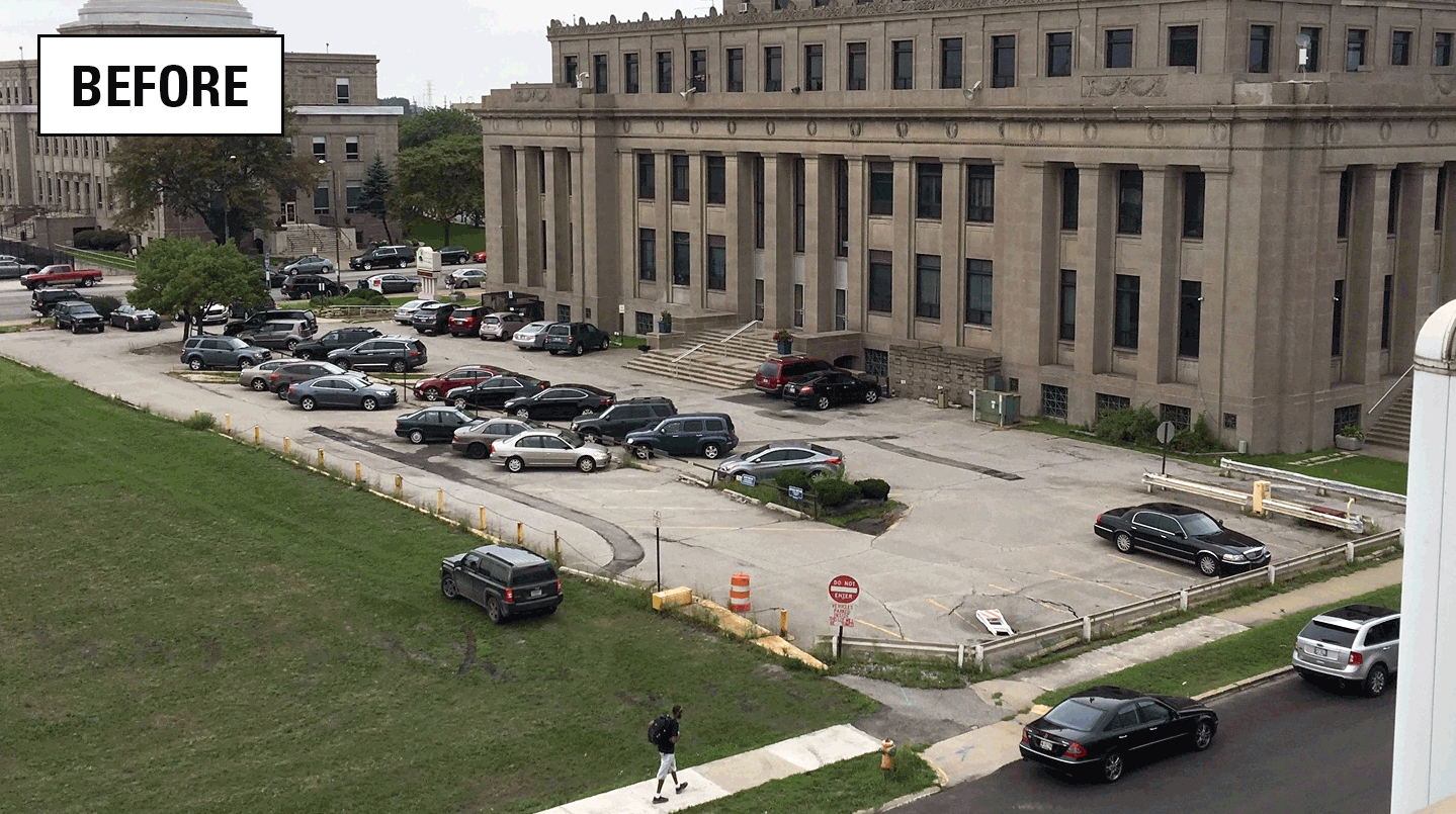
Assessing stormwater reduction using green infrastructure: Gary City Hall (Gary, Ind.)
The effectiveness of green infrastructure (rain gardens and decreased impervious surface) at reducing stormwater runoff and capturing dissolved chloride is being assessed at a redevelopment project at Gary City Hall (Gary, Indiana). This study will evaluate pre- and post-construction hydrologic conditions using data collected by monitoring storm-sewer flow, groundwater levels, soil moisture, and...

Monitoring and predicting the impacts of trees on urban stormwater volume reduction
Much has been learned about how effectively individual green infrastructure practices can reduce stormwater volume, however, the role of urban trees in stormwater detention is poorly understood. This study quantified the impact that trees have on stormwater runoff volume.

Lake monitoring and research
Studying lakes provides an improved understanding of lake ecosystem dynamics and valuable information that helps lead to sound lake-management policies. The USGS collects hydrologic data in lake settings, studies water and nutrient budget development, conducts source-loading analysis, explores groundwater interactions, and performs lake water-quality modeling.

Groundwater monitoring and research
Groundwater is an important water resource. The USGS collects information on the quality and quantity of groundwater and conducts advanced modeling of groundwater flow and groundwater/surface-water systems. The USGS also evaluates the effects of water-use, land-use, and climate change on groundwater, surface-water, and the ecosystems that rely on them.

GLRI Urban Stormwater Monitoring
The GLRI Urban Stormwater Monitoring effort brings together the expertise of the USGS with local and national partners to assess the ability of green infrastructure to reduce stormwater runoff in Great Lakes urban areas.

Ecoflows: Developing Indices of Streamflow Alteration
The Minnesota Pollution Control Agency (MPCA) lists streamflow alteration as a key stressor on aquatic life in many watersheds. However, the MPCA currently does not have the information needed to quantitatively associate metrics from Index of Biological Integrity (IBI) surveys with metrics of streamflow alteration. We are using USGS streamgage data and MPCA IBI data to develop relations between...

Development of a FluEgg Model for the St. Croix River
The USGS partnered with the Minnesota Department of Natural Resources to collect hydraulic and water chemistry data in the lower St. Croix River for development of a model that predicts the probability of successful egg hatching and survival of juvenile invasive carp over a range of water temperature and streamflow conditions.

Impacts of agricultural drainage on groundwater recharge
Artificial subsurface drainage is being increasingly utilized on agricultural land in southeast Minnesota. This region is underlain by thinner glacial deposits than are found in the historically drained areas of the State. Due to these thinner deposits, drainage in this area may have a greater impact on recharge to the underlying bedrock aquifers, a critical resource to the region.